
Building Fire Science-Management Partnerships to Accelerate Adaptation
As public, tribal, and military lands continue to experience rapid change brought on by fire, invasive species, and drought, there is a growing need for science-management partnerships to apply innovative research and technologies to support decision-making at an accelerated pace.
To respond to this need, USGS, other Department of the Interior (DOI) agencies, and the Department of Defense created the Innovation Landscape Network.

Innovation landscapes are discrete ecological landscapes within U.S. regions of concentrated federal investment that face accelerated environmental threats.
These landscapes promote partnerships among researchers, federal agency land managers, and staff at military installations to apply advanced technologies, modeling, and coproduction of knowledge to improve decision-making.
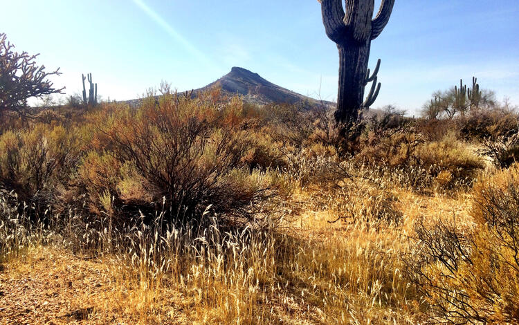
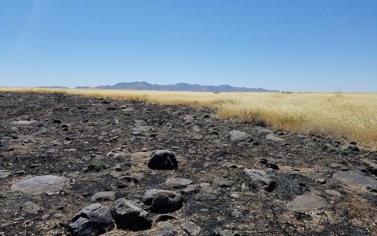
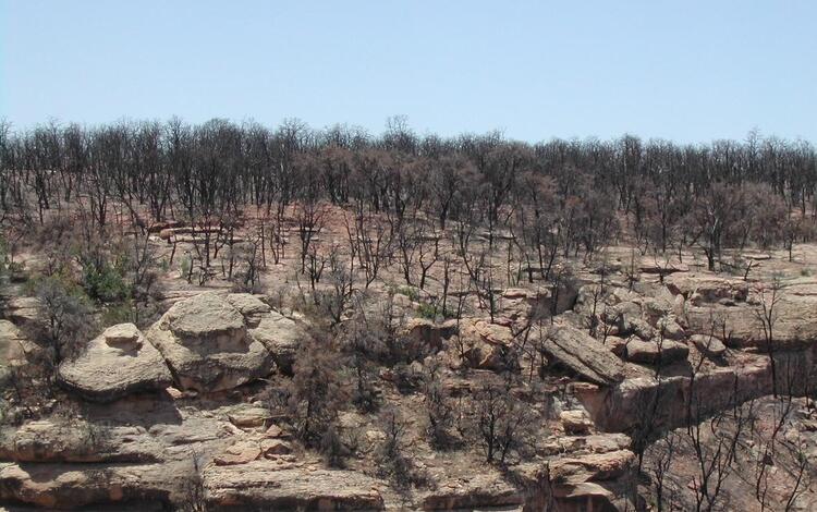
Agencies established an initial pilot landscape network in southeastern Arizona including lands of the San Carlos Apache Reservation, Fort Apache Reservation, Buenos Aires National Wildlife Refuge and other partners in the Altar Valley, Saguaro National Park, and the Fort Huachuca Sentinel Landscape.
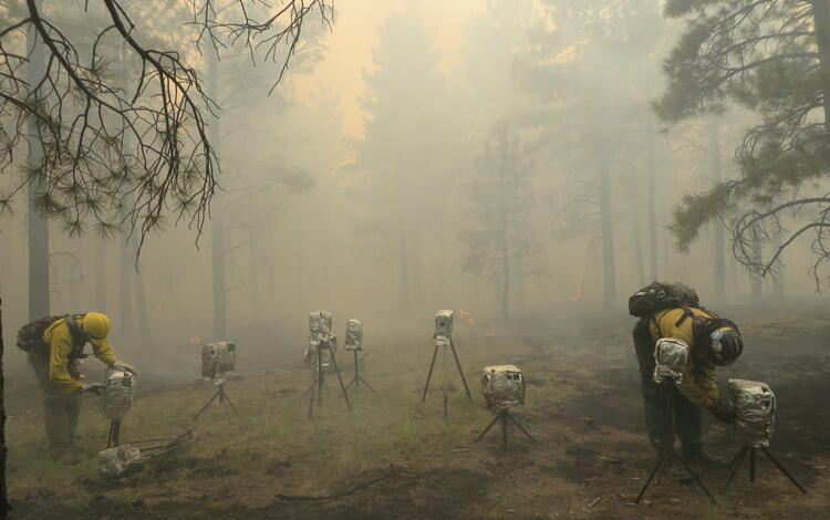
USGS is working with each of these partners in the network to apply advanced technologies and tools to monitor fuel conditions, assess fuel treatment strategies, and evaluate wildfire risk.
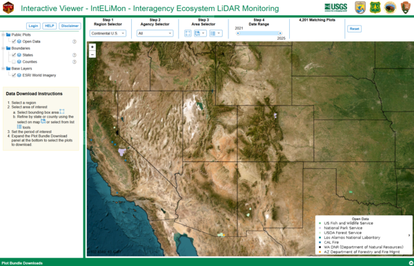
These technologies include terrestrial laser scanning, high-resolution satellite imagery, and advanced fire simulation tools to improve our understanding of land condition and support decision-making.
In addition to fire risk modeling and fuel treatment effectiveness monitoring, other funding sources are being leveraged to understand how landscape scale treatment strategies can rapidly adapt to increase the resilience of these ecosystems.
Also critical to the success of this network are USGS social science research teams working with DOI agencies, tribal partners, and adjacent communities to understand values at risk and how to prioritize treatments to increase community resilience.
While recognizing all successful adaptation is local, the impact of the network’s innovation can be witnessed through the scaling of solutions across landscapes with similar challenges to efficiently equip managers with new tools and approaches needed to meet their objectives.
USGS Wildland Fire Science
The Southwest Fire Innovation Landscape Network
As public, tribal, and military lands continue to experience rapid change brought on by fire, invasive species, and drought, there is a growing need for science-management partnerships to apply innovative research and technologies to support decision-making at an accelerated pace.
To respond to this need, USGS, other Department of the Interior (DOI) agencies, and the Department of Defense created the Innovation Landscape Network.
Innovation landscapes are discrete ecological landscapes within U.S. regions of concentrated federal investment that face accelerated environmental threats.
These landscapes promote partnerships among researchers, federal agency land managers, and staff at military installations to apply advanced technologies, modeling, and coproduction of knowledge to improve decision-making.
Agencies established an initial pilot landscape network in southeastern Arizona including lands of the San Carlos Apache Reservation, Fort Apache Reservation, Buenos Aires National Wildlife Refuge and other partners in the Altar Valley, Saguaro National Park, and the Fort Huachuca Sentinel Landscape.
USGS is working with each of these partners in the network to apply advanced technologies and tools to monitor fuel conditions, assess fuel treatment strategies, and evaluate wildfire risk.
These technologies include terrestrial laser scanning, high-resolution satellite imagery, and advanced fire simulation tools to improve our understanding of land condition and support decision-making.
In addition to fire risk modeling and fuel treatment effectiveness monitoring, other funding sources are being leveraged to understand how landscape scale treatment strategies can rapidly adapt to increase the resilience of these ecosystems.
Also critical to the success of this network are USGS social science research teams working with DOI agencies, tribal partners, and adjacent communities to understand values at risk and how to prioritize treatments to increase community resilience.
While recognizing all successful adaptation is local, the impact of the network’s innovation can be witnessed through the scaling of solutions across landscapes with similar challenges to efficiently equip managers with new tools and approaches needed to meet their objectives.
USGS Wildland Fire Science
The Southwest Fire Innovation Landscape Network