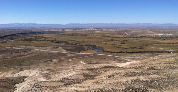
Sampling the Green River below Fontenelle Reservoir
Sampling the Green River below Fontenelle ReservoirSampling the Green River below Fontenelle Reservoir

Official websites use .gov
A .gov website belongs to an official government organization in the United States.
Secure .gov websites use HTTPS
A lock () or https:// means you’ve safely connected to the .gov website. Share sensitive information only on official, secure websites.
Cheryl has been with the USGS since 1989. She is the Acting Deputy Director and Hydrologic Networks Branch Chief for the WY-MT and Dakota Water Science Centers.
Cheryl started her career studying pesticides and other water-quality issues in Wyoming's groundwater and surface water. Other work has involved evaluating groundwater/surface-water interaction, and how that interaction influences water quality and biological processes.
Recently, Cheryl has been able to combine her understanding of many facets of hydrology and has had increased focus on using multi-disciplinary approaches to answer hydrologic questions. In particular, she enjoys using analytical techniques or available data in non-traditional ways to collaborate with other scientists.
Cheryl is also the WY-MT Water Science Center Communications Specialist.


Sampling the Green River below Fontenelle Reservoir

Filling the teflon churn with water sampled from Laramie River near Laramie
Filling the teflon churn with water sampled from Laramie River near Laramie

Measuring streamflow on Dry Piney Creek

Preparing to measure water level in streambank piezometer, New Fork R
Preparing to measure water level in streambank piezometer, New Fork R

Using a portable flume to measure streamflow on a small stream
Using a portable flume to measure streamflow on a small stream

Preparing to measure water level at Groundwater Streamgage
Preparing to measure water level at Groundwater Streamgage

New Fork River near Big Piney streamgage

Core from 2" well drilled into Wasatch Formation, Big Piney, WY
Core from 2" well drilled into Wasatch Formation, Big Piney, WY

Water-quality sampling for pesticides, Shoshone River near Lovell
Water-quality sampling for pesticides, Shoshone River near Lovell

Water-quality sampling from Salt River cableway

View into Green River Basin from Wyoming Range, Dry Piney Basin
View into Green River Basin from Wyoming Range, Dry Piney Basin

Installing piezometer on the bank of the New Fork River
Installing piezometer on the bank of the New Fork River

Installing stream thermistor at New Fork Groundwater Streamgage
Installing stream thermistor at New Fork Groundwater Streamgage
Confluence of New Fork (foreground) and Green Rivers
Confluence of New Fork (foreground) and Green Rivers

Flowing well used for stock water, Green River Basin
Flowing well used for stock water, Green River Basin

Windmill and cattle near Big Piney

Preparing sample for macroinvertebrate analysis

Well sampled to determine baseline pesticide concentrations in groundwater.
Well sampled to determine baseline pesticide concentrations in groundwater.

Describing work that USGS does to students at the Women In Science Conference
Describing work that USGS does to students at the Women In Science Conference
Sampling the Green River below Fontenelle Reservoir
Filling the teflon churn with water sampled from Laramie River near Laramie
Filling the teflon churn with water sampled from Laramie River near Laramie
Measuring streamflow on Dry Piney Creek
Preparing to measure water level in streambank piezometer, New Fork R
Preparing to measure water level in streambank piezometer, New Fork R
Using a portable flume to measure streamflow on a small stream
Using a portable flume to measure streamflow on a small stream
Preparing to measure water level at Groundwater Streamgage
Preparing to measure water level at Groundwater Streamgage
New Fork River near Big Piney streamgage
Core from 2" well drilled into Wasatch Formation, Big Piney, WY
Core from 2" well drilled into Wasatch Formation, Big Piney, WY
Water-quality sampling for pesticides, Shoshone River near Lovell
Water-quality sampling for pesticides, Shoshone River near Lovell
Water-quality sampling from Salt River cableway
View into Green River Basin from Wyoming Range, Dry Piney Basin
View into Green River Basin from Wyoming Range, Dry Piney Basin
Installing piezometer on the bank of the New Fork River
Installing piezometer on the bank of the New Fork River
Installing stream thermistor at New Fork Groundwater Streamgage
Installing stream thermistor at New Fork Groundwater Streamgage
Confluence of New Fork (foreground) and Green Rivers
Confluence of New Fork (foreground) and Green Rivers
Flowing well used for stock water, Green River Basin
Flowing well used for stock water, Green River Basin
Windmill and cattle near Big Piney
Preparing sample for macroinvertebrate analysis
Well sampled to determine baseline pesticide concentrations in groundwater.
Well sampled to determine baseline pesticide concentrations in groundwater.
Describing work that USGS does to students at the Women In Science Conference
Describing work that USGS does to students at the Women In Science Conference