


Slope-Area Measurements in Northern Black Hills, SD
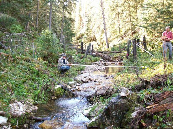
Slope-Area Measurements in Northern Black Hills, SDUSGS researchers running slope-area measurement in Ward Draw following storm of August 5, 2014. A group of thunderstorms produced greater than 4 inches of rain during four periods of progressively more intense rainfall across a small part of a relatively high-elevation area of the northern Black Hills on August 5, 2014.


