
USGS Oklahoma-Texas Water Science Center gaging station camera. USGS Gaging Station 08158840
Oklahoma-Texas Information (Former Employee)
Science and Products
Filter Total Items: 32
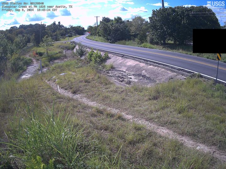
Slaughter Creek at FM 1826 near Austin, TX
USGS Oklahoma-Texas Water Science Center gaging station camera. USGS Gaging Station 08158840
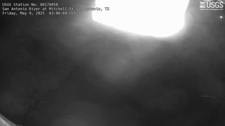
San Antonio River at Mitchell St, San Antonio, TX
USGS Oklahoma-Texas Water Science Center gaging station camera. USGS Gaging Station 08178050
USGS Oklahoma-Texas Water Science Center gaging station camera. USGS Gaging Station 08178050
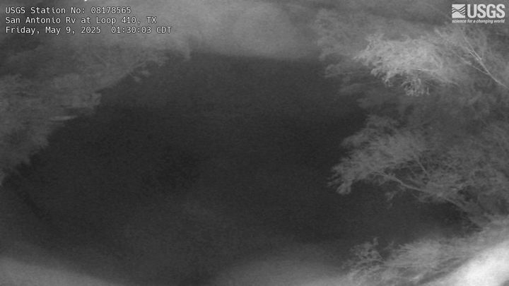
San Antonio River at Loop 410, San Antonio, TX
USGS Oklahoma-Texas Water Science Center gaging station camera. USGS Gaging Station 08178565
USGS Oklahoma-Texas Water Science Center gaging station camera. USGS Gaging Station 08178565
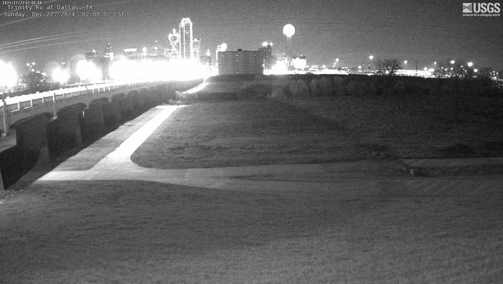
Trinity River at Dallas,TX
USGS Oklahoma-Texas Water Science Center gaging station camera. USGS Gaging Station 08057000
USGS Oklahoma-Texas Water Science Center gaging station camera. USGS Gaging Station 08057000
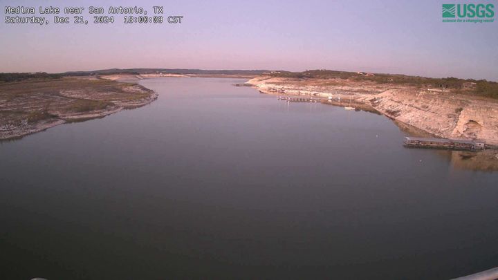
Medina Lake near San Antonio, TX
USGS Oklahoma-Texas Water Science Center gaging station camera. USGS Gaging Station 08179500
USGS Oklahoma-Texas Water Science Center gaging station camera. USGS Gaging Station 08179500
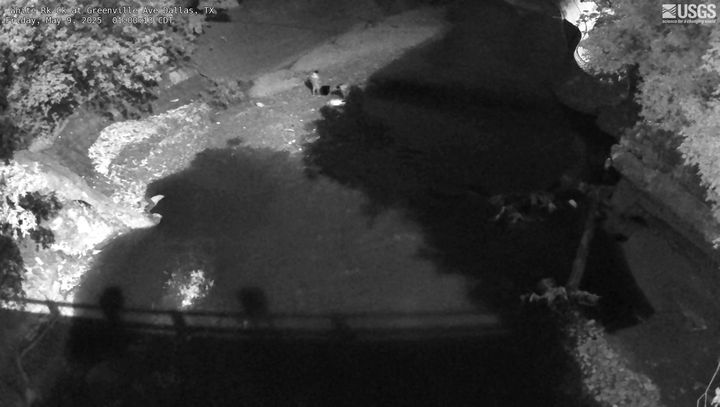
White Rock Creek at Greenville Ave, Dallas, TX
USGS Oklahoma-Texas Water Science Center gaging station camera. USGS Gaging Station 08057200
USGS Oklahoma-Texas Water Science Center gaging station camera. USGS Gaging Station 08057200
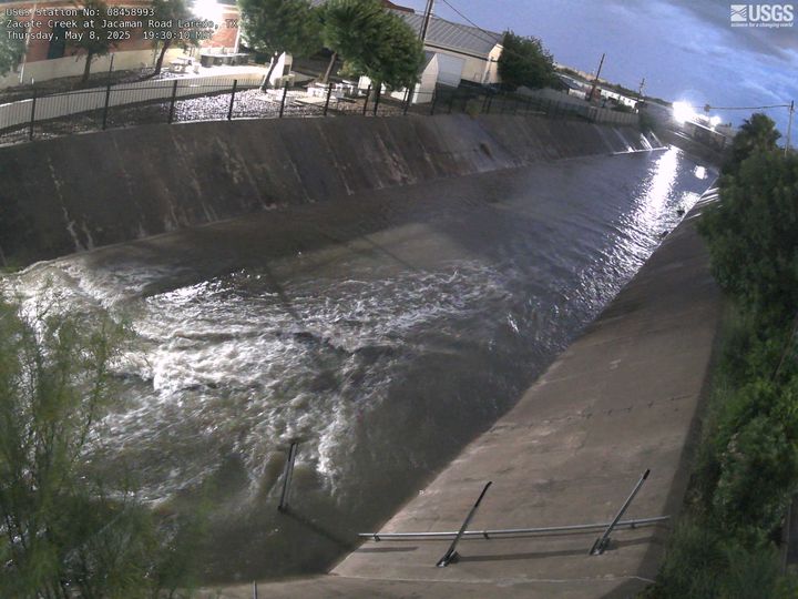
Zacate Creek at Jacaman Road, Laredo, TX
USGS Oklahoma-Texas Water Science Center gaging station camera. USGS Gaging Station 08458993
USGS Oklahoma-Texas Water Science Center gaging station camera. USGS Gaging Station 08458993
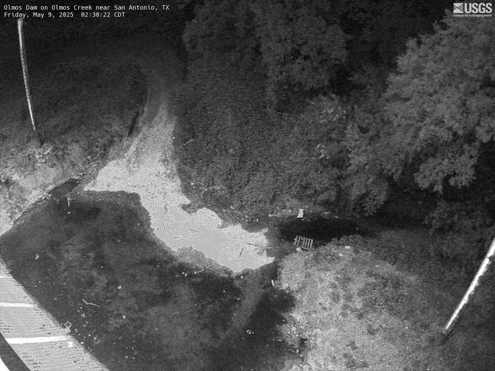
Olmos Dam on Olmos Creek near San Antonio
USGS Oklahoma-Texas Water Science Center gaging station camera at Olmos Dam in San Antonio, TX
USGS Oklahoma-Texas Water Science Center gaging station camera at Olmos Dam in San Antonio, TX
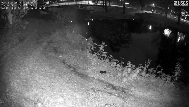
Turtle Creek at Dallas, TX
USGS Oklahoma-Texas Water Science Center gaging station camera. USGS Gaging Station 08056500
USGS Oklahoma-Texas Water Science Center gaging station camera. USGS Gaging Station 08056500

Manadas Creek Tributary at Bristol Road near Laredo, TX
Manadas Creek Tributary at Bristol Road near Laredo, TXUSGS Oklahoma-Texas Water Science Center gaging station camera. USGS Gaging Station 08458980
Manadas Creek Tributary at Bristol Road near Laredo, TX
Manadas Creek Tributary at Bristol Road near Laredo, TXUSGS Oklahoma-Texas Water Science Center gaging station camera. USGS Gaging Station 08458980
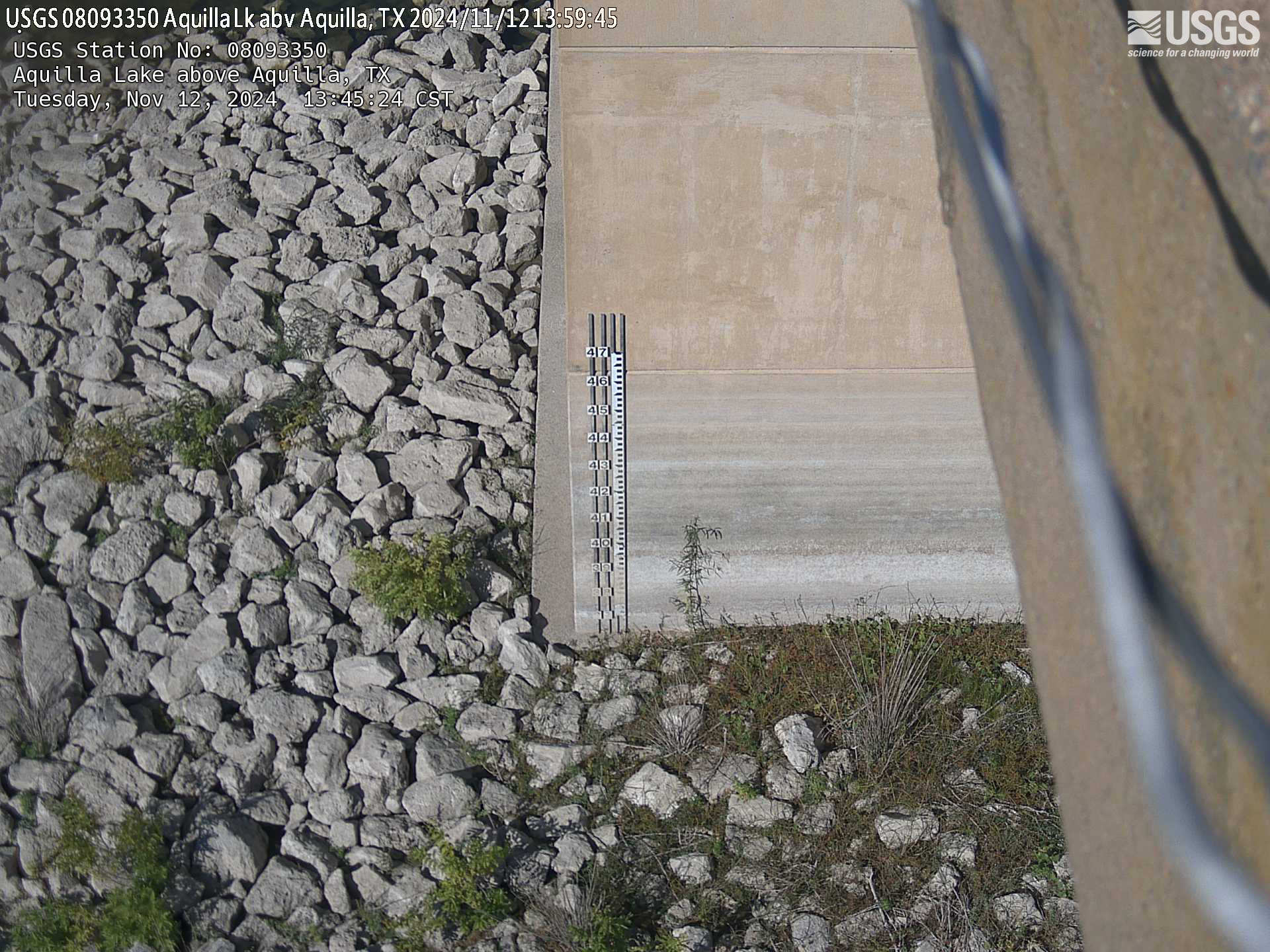
Aquilla Lake above Aquilla, TX
USGS Oklahoma-Texas Water Science Center gaging station camera. USGS Gaging Station 08093350
USGS Oklahoma-Texas Water Science Center gaging station camera. USGS Gaging Station 08093350

New Year Creek at FM 1155 near Chappel Hill, TX
USGS Oklahoma-Texas Water Science Center gaging station camera. USGS Gaging Station 08111110.
USGS Oklahoma-Texas Water Science Center gaging station camera. USGS Gaging Station 08111110.
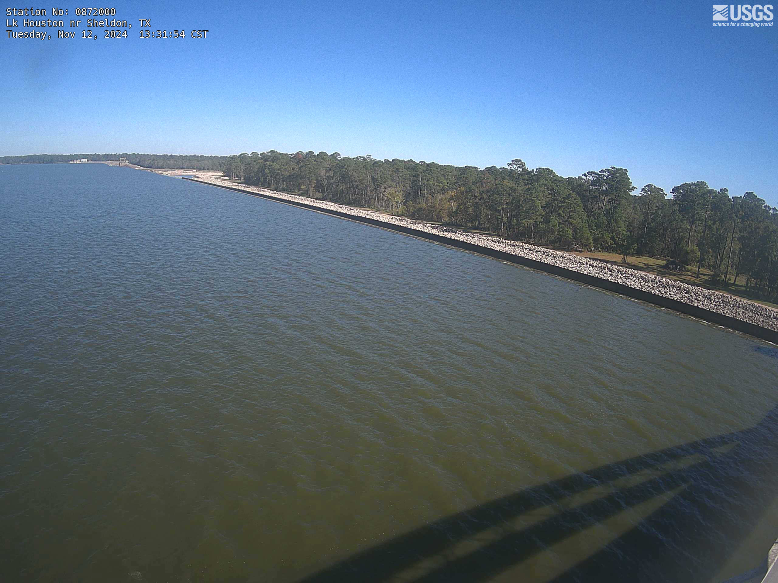
Lake Houston near Sheldon, TX
USGS Oklahoma-Texas Water Science Center gaging station camera. USGS Gaging Station 08072000 .
USGS Oklahoma-Texas Water Science Center gaging station camera. USGS Gaging Station 08072000 .
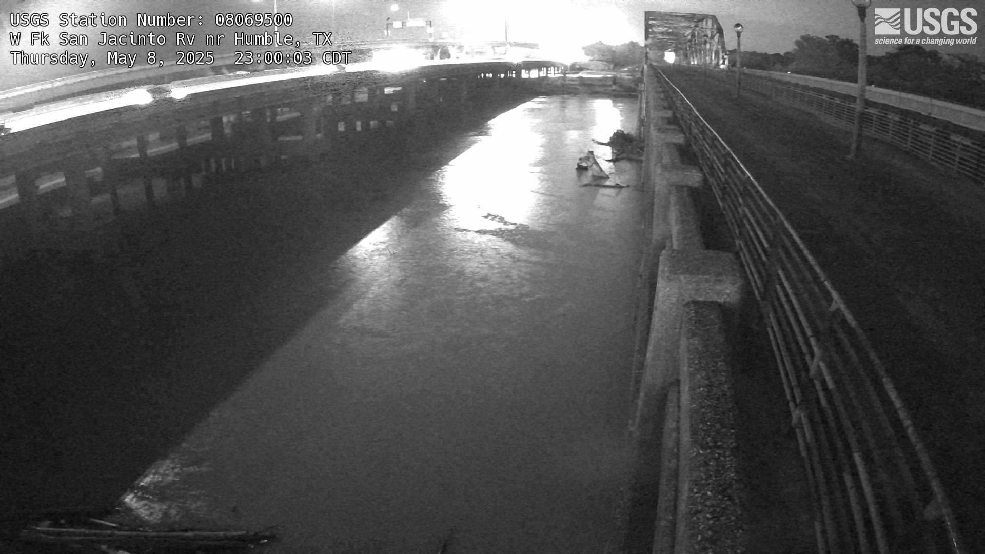
West Fork San Jacinto River near Humble, TX
USGS Oklahoma-Texas Water Science Center gaging station camera. USGS Gaging Station 08069500 .
USGS Oklahoma-Texas Water Science Center gaging station camera. USGS Gaging Station 08069500 .

San Antonio River at East Nueva St in San Antonio, TX
San Antonio River at East Nueva St in San Antonio, TXUSGS Oklahoma-Texas Water Science Center gaging station camera. USGS Gaging Station 89898989 .
San Antonio River at East Nueva St in San Antonio, TX
San Antonio River at East Nueva St in San Antonio, TXUSGS Oklahoma-Texas Water Science Center gaging station camera. USGS Gaging Station 89898989 .
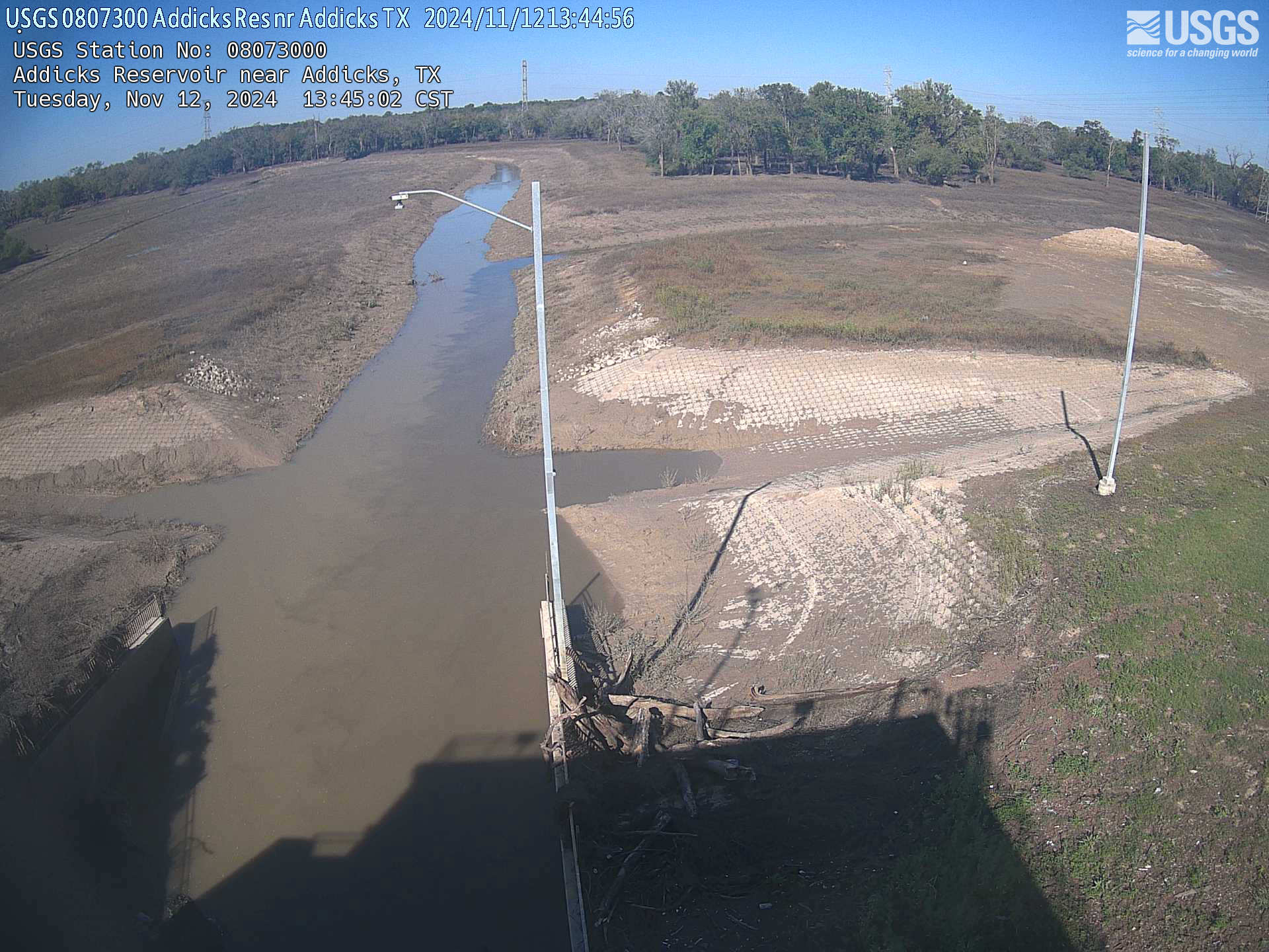
Addicks Reservoir near Addicks, TX
USGS Oklahoma-Texas Water Science Center gaging station camera. USGS Gaging Station 08073000.
USGS Oklahoma-Texas Water Science Center gaging station camera. USGS Gaging Station 08073000.

Addicks Reservoir near Addicks outflow culverts (TX)
Addicks Reservoir near Addicks outflow culverts (TX)USGS Oklahoma-Texas Water Science Center gaging station camera. USGS Gaging Station 08073000 .
Addicks Reservoir near Addicks outflow culverts (TX)
Addicks Reservoir near Addicks outflow culverts (TX)USGS Oklahoma-Texas Water Science Center gaging station camera. USGS Gaging Station 08073000 .
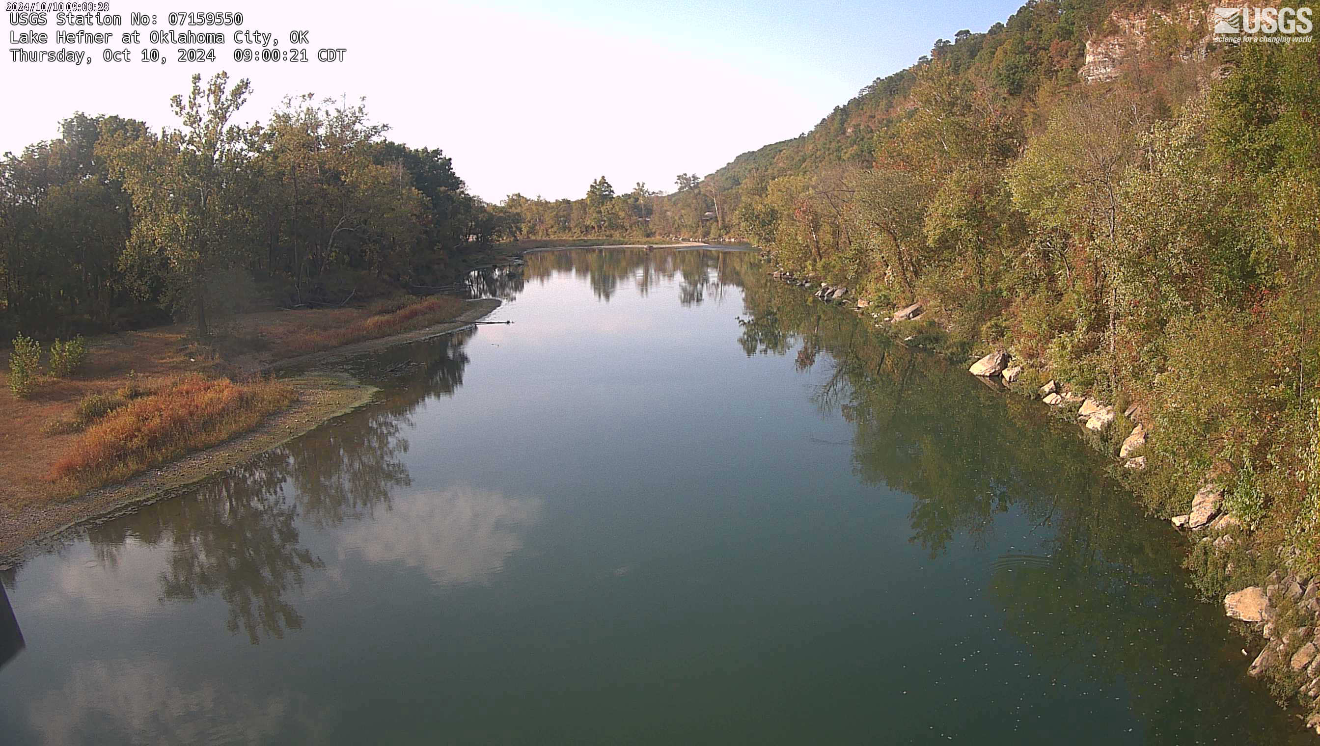
Lake Hefner at Oklahoma City, OK
USGS Oklahoma-Texas Water Science Center gaging station webcam, USGS Gaging Station 07159550
USGS Oklahoma-Texas Water Science Center gaging station webcam, USGS Gaging Station 07159550
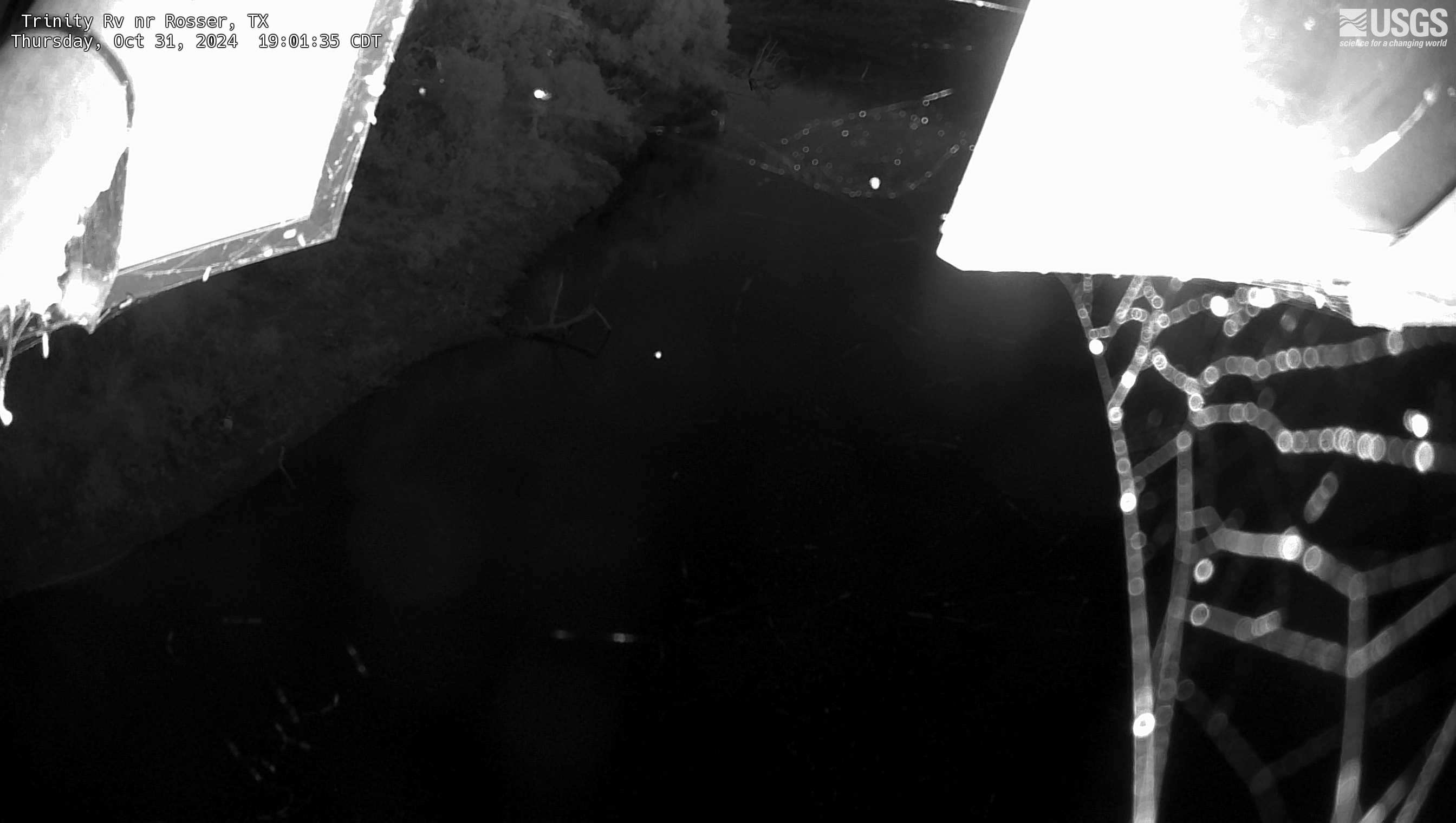
Trinity River near Rosser, TX
USGS Oklahoma-Texas Water Science Center gaging station camera. USGS Gaging Station 08062500.
USGS Oklahoma-Texas Water Science Center gaging station camera. USGS Gaging Station 08062500.

Clear Fork Trinity River at Ft Worth, TX
USGS Oklahoma-Texas Water Science Center gaging station camera. USGS Gaging Station 08047500.
USGS Oklahoma-Texas Water Science Center gaging station camera. USGS Gaging Station 08047500.

Barker Reservoir near Addicks Outflow Culverts
USGS Oklahoma-Texas Water Science Center gaging station camera. USGS Gaging Station 08072500 .
USGS Oklahoma-Texas Water Science Center gaging station camera. USGS Gaging Station 08072500 .
Filter Total Items: 21

Stream Science in Oklahoma and Texas - Overview
Rivers and streams play a vital role for communities and ecosystems across Oklahoma and Texas by providing water for drinking, recreation, and irrigation; recharging aquifers; aquatic life; and transporting sediment and nutrients. The USGS Oklahoma-Texas Water Science Center (OTWSC) collects data and has science projects at several streams and their watersheds. Visit the links below for more...

Water Budget Science in Oklahoma and Texas
A water budget is an accounting of hydrologic components of the water cycle, transfers between the components, and their relative contributions within a water system. Water budgets help define how much water is available, how much water is used, where the water comes from, and at what rate water is replenished or consumed. In its simplest form, a water budget defines the amount of water entering...

Surface-Water and Groundwater Interaction Science in Oklahoma and Texas - Overview
Surface-water/groundwater interactions include the exchange of water, and the chemicals that may be present in the water, which can lead to issues with water supply and water quality. Groundwater can be a major contributor to streams, lakes, and wetlands while surface water can contribute recharge to groundwater. The USGS Oklahoma-Texas Water Science Center (OTWSC) uses geophysics and other...

Subsidence Science in Oklahoma and Texas - Overview
The USGS Oklahoma-Texas Water Science Center (OTWSC) has researched land-surface subsidence for more than 40 years. OTWSC collects and interprets groundwater level and aquifer sediment compaction data to understand the effects of groundwater withdrawal on land surface subsidence.

Sediment Science in Oklahoma and Texas
The U.S. Environmental Protection Agency (EPA) has identified sediment as a leading cause of impairment in the Nation’s rivers and streams. Excessive sedimentation degrades aquatic habitat; reduces longevity of water-supply, flood-control reservoirs; and is the primary transport mechanism of toxic organic chemicals, heavy metals, and nutrients. The USGS Oklahoma-Texas Water Science Center (OTWSC)...

Nutrient Science in Oklahoma and Texas
The USGS Oklahoma-Texas Water Science Center (OTWSC) researches nutrients by analyzing water samples and habitats across the State. Information about the occurrence and abundance of nutrients is critical for understanding and maintaining water resources across Texas. Visit the links below for more information on our data and science.

Modeling Science in Oklahoma and Texas
Models provide the capability to simulate scenarios of possible future conditions and management options to help water-resource professionals with planning decisions. Groundwater models are commonly used to evaluate changes to the water budget of an aquifer resulting from land-use changes, water withdrawals, and climate, and how these changes affect streamflow, lake levels, water quality, and...

Peak Flow Science in Oklahoma and Texas
Annual peak streamflow (peak flow) at a streamgage is defined as the maximum instantaneous flow in a water year. A water year begins on October 1 and continues through September 30 of the following year. This definition of a water year is used because it more closely follows seasonal weather patterns. Peak flows in Texas can range from zero flow in very dry basins to flows that cause flooding and...

Lake and Reservoir Science in Oklahoma and Texas - Overview
The USGS Oklahoma-Texas Water Science Center (OTWSC) collects data and has science projects at more than 200 reservoirs. Visit the links below for more information on our data and science.

Hydrogeology Science in Oklahoma and Texas - Overview
Hydrogeology is the study of how groundwater moves and is distributed. At the USGS Oklahoma-Texas Water Science Center (OTWSC), hydrogeologic studies focus on regional groundwater assessments, focused investigations, aquifer delineation, and inter-agency science support.

Harmful Algal Bloom (HAB) Science in Oklahoma and Texas
Many types of algae can cause HABs in freshwater ecosystems. The most frequent and severe blooms typically are caused by cyanobacteria, the only freshwater “algae” with the potential for production of toxins that can adversely affect human health. USGS Oklahoma-Texas Water Science Center (OTWSC) scientists studying HAB issues in water bodies throughout the United States, using a combination of...

Hurricane Response Science in Oklahoma and Texas
The USGS Oklahoma-Texas Water Science Center (OTWSC) has a hurricane response program which includes a rapid-deployment storm-surge monitor network in advance of hurricanes, real-time monitoring of streamflow throughout the impacted area during a hurricane, and collection of high-water marks and assessment of floods after hurricanes. Visit the links below for more information on our data and...
Science and Products
Filter Total Items: 32
Slaughter Creek at FM 1826 near Austin, TX
USGS Oklahoma-Texas Water Science Center gaging station camera. USGS Gaging Station 08158840
USGS Oklahoma-Texas Water Science Center gaging station camera. USGS Gaging Station 08158840
San Antonio River at Mitchell St, San Antonio, TX
USGS Oklahoma-Texas Water Science Center gaging station camera. USGS Gaging Station 08178050
USGS Oklahoma-Texas Water Science Center gaging station camera. USGS Gaging Station 08178050
San Antonio River at Loop 410, San Antonio, TX
USGS Oklahoma-Texas Water Science Center gaging station camera. USGS Gaging Station 08178565
USGS Oklahoma-Texas Water Science Center gaging station camera. USGS Gaging Station 08178565
Trinity River at Dallas,TX
USGS Oklahoma-Texas Water Science Center gaging station camera. USGS Gaging Station 08057000
USGS Oklahoma-Texas Water Science Center gaging station camera. USGS Gaging Station 08057000
Medina Lake near San Antonio, TX
USGS Oklahoma-Texas Water Science Center gaging station camera. USGS Gaging Station 08179500
USGS Oklahoma-Texas Water Science Center gaging station camera. USGS Gaging Station 08179500
White Rock Creek at Greenville Ave, Dallas, TX
USGS Oklahoma-Texas Water Science Center gaging station camera. USGS Gaging Station 08057200
USGS Oklahoma-Texas Water Science Center gaging station camera. USGS Gaging Station 08057200
Zacate Creek at Jacaman Road, Laredo, TX
USGS Oklahoma-Texas Water Science Center gaging station camera. USGS Gaging Station 08458993
USGS Oklahoma-Texas Water Science Center gaging station camera. USGS Gaging Station 08458993
Olmos Dam on Olmos Creek near San Antonio
USGS Oklahoma-Texas Water Science Center gaging station camera at Olmos Dam in San Antonio, TX
USGS Oklahoma-Texas Water Science Center gaging station camera at Olmos Dam in San Antonio, TX
Turtle Creek at Dallas, TX
USGS Oklahoma-Texas Water Science Center gaging station camera. USGS Gaging Station 08056500
USGS Oklahoma-Texas Water Science Center gaging station camera. USGS Gaging Station 08056500
Manadas Creek Tributary at Bristol Road near Laredo, TX
Manadas Creek Tributary at Bristol Road near Laredo, TXUSGS Oklahoma-Texas Water Science Center gaging station camera. USGS Gaging Station 08458980
Manadas Creek Tributary at Bristol Road near Laredo, TX
Manadas Creek Tributary at Bristol Road near Laredo, TXUSGS Oklahoma-Texas Water Science Center gaging station camera. USGS Gaging Station 08458980
Aquilla Lake above Aquilla, TX
USGS Oklahoma-Texas Water Science Center gaging station camera. USGS Gaging Station 08093350
USGS Oklahoma-Texas Water Science Center gaging station camera. USGS Gaging Station 08093350
New Year Creek at FM 1155 near Chappel Hill, TX
USGS Oklahoma-Texas Water Science Center gaging station camera. USGS Gaging Station 08111110.
USGS Oklahoma-Texas Water Science Center gaging station camera. USGS Gaging Station 08111110.
Lake Houston near Sheldon, TX
USGS Oklahoma-Texas Water Science Center gaging station camera. USGS Gaging Station 08072000 .
USGS Oklahoma-Texas Water Science Center gaging station camera. USGS Gaging Station 08072000 .
West Fork San Jacinto River near Humble, TX
USGS Oklahoma-Texas Water Science Center gaging station camera. USGS Gaging Station 08069500 .
USGS Oklahoma-Texas Water Science Center gaging station camera. USGS Gaging Station 08069500 .
San Antonio River at East Nueva St in San Antonio, TX
San Antonio River at East Nueva St in San Antonio, TXUSGS Oklahoma-Texas Water Science Center gaging station camera. USGS Gaging Station 89898989 .
San Antonio River at East Nueva St in San Antonio, TX
San Antonio River at East Nueva St in San Antonio, TXUSGS Oklahoma-Texas Water Science Center gaging station camera. USGS Gaging Station 89898989 .
Addicks Reservoir near Addicks, TX
USGS Oklahoma-Texas Water Science Center gaging station camera. USGS Gaging Station 08073000.
USGS Oklahoma-Texas Water Science Center gaging station camera. USGS Gaging Station 08073000.
Addicks Reservoir near Addicks outflow culverts (TX)
Addicks Reservoir near Addicks outflow culverts (TX)USGS Oklahoma-Texas Water Science Center gaging station camera. USGS Gaging Station 08073000 .
Addicks Reservoir near Addicks outflow culverts (TX)
Addicks Reservoir near Addicks outflow culverts (TX)USGS Oklahoma-Texas Water Science Center gaging station camera. USGS Gaging Station 08073000 .
Lake Hefner at Oklahoma City, OK
USGS Oklahoma-Texas Water Science Center gaging station webcam, USGS Gaging Station 07159550
USGS Oklahoma-Texas Water Science Center gaging station webcam, USGS Gaging Station 07159550
Trinity River near Rosser, TX
USGS Oklahoma-Texas Water Science Center gaging station camera. USGS Gaging Station 08062500.
USGS Oklahoma-Texas Water Science Center gaging station camera. USGS Gaging Station 08062500.
Clear Fork Trinity River at Ft Worth, TX
USGS Oklahoma-Texas Water Science Center gaging station camera. USGS Gaging Station 08047500.
USGS Oklahoma-Texas Water Science Center gaging station camera. USGS Gaging Station 08047500.
Barker Reservoir near Addicks Outflow Culverts
USGS Oklahoma-Texas Water Science Center gaging station camera. USGS Gaging Station 08072500 .
USGS Oklahoma-Texas Water Science Center gaging station camera. USGS Gaging Station 08072500 .
Filter Total Items: 21
Stream Science in Oklahoma and Texas - Overview
Rivers and streams play a vital role for communities and ecosystems across Oklahoma and Texas by providing water for drinking, recreation, and irrigation; recharging aquifers; aquatic life; and transporting sediment and nutrients. The USGS Oklahoma-Texas Water Science Center (OTWSC) collects data and has science projects at several streams and their watersheds. Visit the links below for more...
Water Budget Science in Oklahoma and Texas
A water budget is an accounting of hydrologic components of the water cycle, transfers between the components, and their relative contributions within a water system. Water budgets help define how much water is available, how much water is used, where the water comes from, and at what rate water is replenished or consumed. In its simplest form, a water budget defines the amount of water entering...
Surface-Water and Groundwater Interaction Science in Oklahoma and Texas - Overview
Surface-water/groundwater interactions include the exchange of water, and the chemicals that may be present in the water, which can lead to issues with water supply and water quality. Groundwater can be a major contributor to streams, lakes, and wetlands while surface water can contribute recharge to groundwater. The USGS Oklahoma-Texas Water Science Center (OTWSC) uses geophysics and other...
Subsidence Science in Oklahoma and Texas - Overview
The USGS Oklahoma-Texas Water Science Center (OTWSC) has researched land-surface subsidence for more than 40 years. OTWSC collects and interprets groundwater level and aquifer sediment compaction data to understand the effects of groundwater withdrawal on land surface subsidence.
Sediment Science in Oklahoma and Texas
The U.S. Environmental Protection Agency (EPA) has identified sediment as a leading cause of impairment in the Nation’s rivers and streams. Excessive sedimentation degrades aquatic habitat; reduces longevity of water-supply, flood-control reservoirs; and is the primary transport mechanism of toxic organic chemicals, heavy metals, and nutrients. The USGS Oklahoma-Texas Water Science Center (OTWSC)...
Nutrient Science in Oklahoma and Texas
The USGS Oklahoma-Texas Water Science Center (OTWSC) researches nutrients by analyzing water samples and habitats across the State. Information about the occurrence and abundance of nutrients is critical for understanding and maintaining water resources across Texas. Visit the links below for more information on our data and science.
Modeling Science in Oklahoma and Texas
Models provide the capability to simulate scenarios of possible future conditions and management options to help water-resource professionals with planning decisions. Groundwater models are commonly used to evaluate changes to the water budget of an aquifer resulting from land-use changes, water withdrawals, and climate, and how these changes affect streamflow, lake levels, water quality, and...
Peak Flow Science in Oklahoma and Texas
Annual peak streamflow (peak flow) at a streamgage is defined as the maximum instantaneous flow in a water year. A water year begins on October 1 and continues through September 30 of the following year. This definition of a water year is used because it more closely follows seasonal weather patterns. Peak flows in Texas can range from zero flow in very dry basins to flows that cause flooding and...
Lake and Reservoir Science in Oklahoma and Texas - Overview
The USGS Oklahoma-Texas Water Science Center (OTWSC) collects data and has science projects at more than 200 reservoirs. Visit the links below for more information on our data and science.
Hydrogeology Science in Oklahoma and Texas - Overview
Hydrogeology is the study of how groundwater moves and is distributed. At the USGS Oklahoma-Texas Water Science Center (OTWSC), hydrogeologic studies focus on regional groundwater assessments, focused investigations, aquifer delineation, and inter-agency science support.
Harmful Algal Bloom (HAB) Science in Oklahoma and Texas
Many types of algae can cause HABs in freshwater ecosystems. The most frequent and severe blooms typically are caused by cyanobacteria, the only freshwater “algae” with the potential for production of toxins that can adversely affect human health. USGS Oklahoma-Texas Water Science Center (OTWSC) scientists studying HAB issues in water bodies throughout the United States, using a combination of...
Hurricane Response Science in Oklahoma and Texas
The USGS Oklahoma-Texas Water Science Center (OTWSC) has a hurricane response program which includes a rapid-deployment storm-surge monitor network in advance of hurricanes, real-time monitoring of streamflow throughout the impacted area during a hurricane, and collection of high-water marks and assessment of floods after hurricanes. Visit the links below for more information on our data and...