The National Map 3D Viewer 3D View from Wotans Throne, CA
The National Map 3D Viewer 3D View from Wotans Throne, CAScreenshot of the National Map 3D Viewer showing a 3D view looking northeast. The location is near Wotans Throne.

Official websites use .gov
A .gov website belongs to an official government organization in the United States.
Secure .gov websites use HTTPS
A lock () or https:// means you’ve safely connected to the .gov website. Share sensitive information only on official, secure websites.

Screenshot of the National Map 3D Viewer showing a 3D view looking northeast. The location is near Wotans Throne.
Screenshot of the National Map 3D Viewer showing a 3D view looking northeast. The location is near Wotans Throne.

Screenshot of the National Map 3D Viewer showing the elevation profile tool. The screen shot is of the Inyo National Forest area of California, near Tunnabora Peak.
Screenshot of the National Map 3D Viewer showing the elevation profile tool. The screen shot is of the Inyo National Forest area of California, near Tunnabora Peak.
This is a screen shot of the National Map (TNM) 3D Viewer Application. This new application will replace the existing TNM Viewer on or around April 7th 2025
This is a screen shot of the National Map (TNM) 3D Viewer Application. This new application will replace the existing TNM Viewer on or around April 7th 2025

This is a close-up of a 1:100,000-scale topographic map (100K Topo) of the Arizona National Scenic Trail (AZ NST) from the Kaibab Plateau at top to the Grand Canyon North Rim at bottom. The AZ NST is highlighted in red. This map shows contour lines, hydrography, landform names, land cover, federal lands, roads, and structures.
This is a close-up of a 1:100,000-scale topographic map (100K Topo) of the Arizona National Scenic Trail (AZ NST) from the Kaibab Plateau at top to the Grand Canyon North Rim at bottom. The AZ NST is highlighted in red. This map shows contour lines, hydrography, landform names, land cover, federal lands, roads, and structures.

Screenshot showing the use of the topoBuilder application to create on demand topographic maps, customize map.
Screenshot showing the use of the topoBuilder application to create on demand topographic maps, customize map.

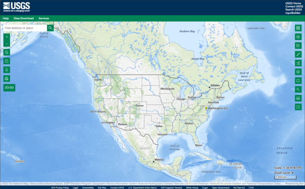
topoBuilder & OnDemand Topo Capabilities
topoBuilder & OnDemand Topo Capabilities

A topographic map of Horseshoe Bend, part of the Grand Canyon in Arizona, made with topoBuilder.
A topographic map of Horseshoe Bend, part of the Grand Canyon in Arizona, made with topoBuilder.

A comparison of low, medium (default), and high contour smoothing options available from the topoBuilder application.
A comparison of low, medium (default), and high contour smoothing options available from the topoBuilder application.
A topographic map of Horseshoe Bend, part of the Grand Canyon in Arizona, made with topoBuilder. Custom topographic maps like this one can be made using topoBuilder.
A topographic map of Horseshoe Bend, part of the Grand Canyon in Arizona, made with topoBuilder. Custom topographic maps like this one can be made using topoBuilder.

topoBuilder & OnDemand Topo Capabilities
topoBuilder & OnDemand Topo Capabilities

TNM Advanced Viewer is an online mapping application to allow users to access and view geographic information systems (GIS) data for the United States of America.
TNM Advanced Viewer is an online mapping application to allow users to access and view geographic information systems (GIS) data for the United States of America.
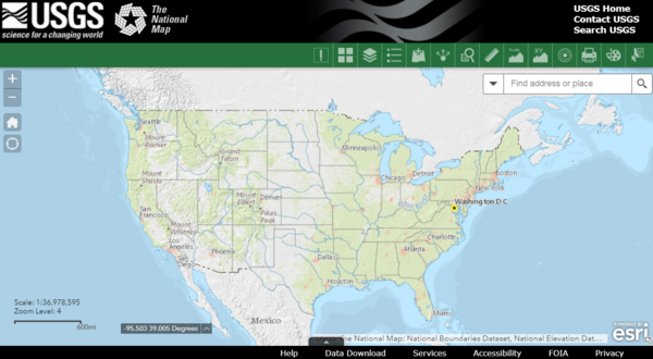
TNM Advanced Viewer