



Firelight - Vol. 4 | Issue 2
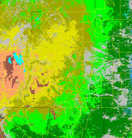
Fire Danger Forecast
USGS Earth Resources Observation and Science (EROS), in conjunction with the US Forest Service Pacific Southwest (PSW) Region, has developed several new products for understanding and forecasting the probability of large wildland fires on all land in the conterminous U.S.
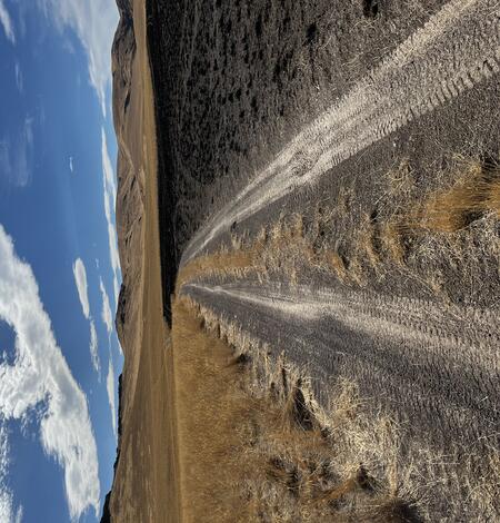
Predicting Burn Risk to Land Management Investments
Land management treatments in sagebrush steppe are an important opportunity to break the annual-grass fire cycle, provided they offer long-lasting resistance to annual-grass invasion and do not burn. However, for areas seeded as part of the Emergency Stabilization and Rehabilitation (ESR) program-- one of the largest programs for land management treatments-- about 1/4 have at least partially...

Science for Wildfire Risk
This project is a collaboration among USGS scientists and Department of the Interior (DOI) bureau managers to develop actionable science (data, analysis, projections, and tools) to support DOI efforts to reduce wildfire risk, enhance wildfire resilience, implement and monitor fuel management projects and postfire restoration and rehabilitation efforts, and ensure the success of congressional...
Demonstrating Improved Risk Assessment Approaches on Department of Defense (DoD) Landscapes
USGS economists are working to implement innovative approaches to assessing the risk of wildfire to military readiness on DoD landscapes, supported by the U.S. Department of Defense Environmental Security Technology Certification Program. This project focuses on demonstrating the usefulness of enhanced characterization of how wildfire hazards threaten the values that are provided to DoD and its...

The Wildfire Research (WiRē) Team
Wildfires cost billions of dollars to suppress annually, yet they still devastate lives, communities, and ecosystems. While wildfire is a natural phenomenon, learning to live with wildfire is a social issue – so we need a social solution.
Southwest Fire Innovation Landscape Network: Advanced tools for fuel monitoring and assessment of wildfire risk
The USGS Southwest Biological Science Center is coordinating the Southwest Fire Innovation Landscape Network to prepare fire and natural resource managers for rapidly changing fire landscapes by conducting research and building science-management partnerships. The network develops advanced tools and technologies to assess fuel loads and the effectiveness of fuel treatments, understand wildfire...
Publications and Tools
Evaluating a simulation-based wildfire burn probability map for the conterminous U.S.
-
Variability and consistency in wildfire susceptibility: Insights from a national compilation Variability and consistency in wildfire susceptibility: Insights from a national compilation
Background Wildfire risk in the United States is rising and remains a land management priority. The quantitative wildfire risk assessment (QWRA) framework integrates fuels, topography, weather and values at risk to estimate the potential change in value from wildfire. Within this, response functions (RFs) represent how values respond to fire intensity. These are often based on expert...
LANDFIRE: Geospatial data to support wildland fire management
The shared program produces comprehensive information on vegetation, wildland fuel, and fire regimes across the U.S. and insular areas
-
Are wildfire risk mitigators more prepared to evacuate? Insights from communities in the western United States Are wildfire risk mitigators more prepared to evacuate? Insights from communities in the western United States
As the realized experiences of wildfires threatening communities increase, the importance of proactive evacuation preparation and wildfire risk mitigation on private property to reduce the loss of lives and property is shaping wildfire policy and programs. To date, research has focused on pre-wildfire evacuation preparation and risk mitigation independently. This paper examines theRobust projections of future fire probability for the conterminous United States Robust projections of future fire probability for the conterminous United States
Globally increasing wildfires have been attributed to anthropogenic climate change. However, providing decision makers with a clear understanding of how future planetary warming could affect fire regimes is complicated by confounding land use factors that influence wildfire and by uncertainty associated with model simulations of climate change. We use an ensemble of statistically...USGS Wildfire Hazard and Risk Assessment Clearinghouse USGS Wildfire Hazard and Risk Assessment Clearinghouse
This online tool was designed to help identify which wildfire hazard and risk assessments are available across the United States. It provides information about available risk assessments and links to assessment data when publicly available.