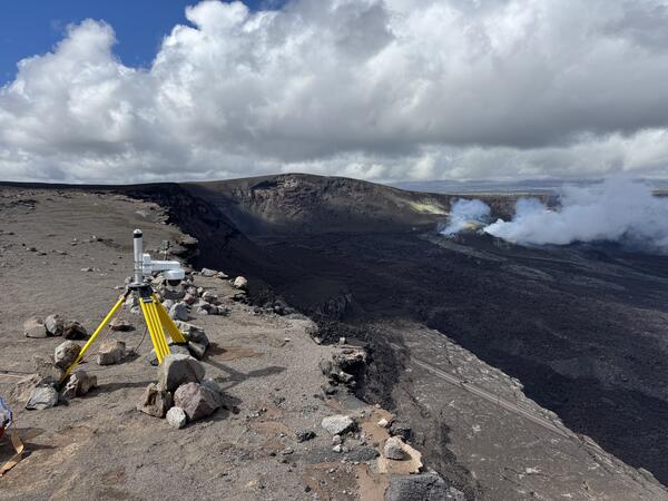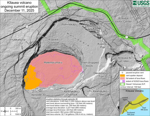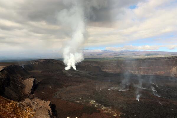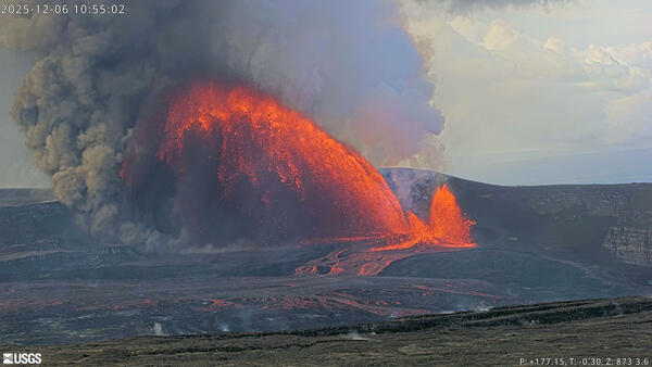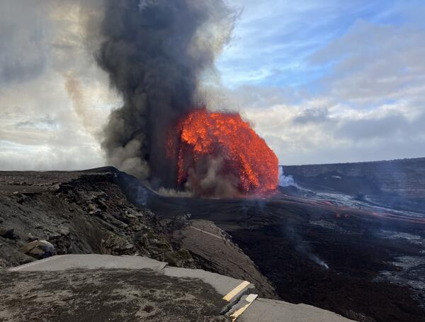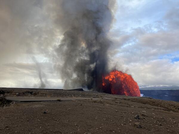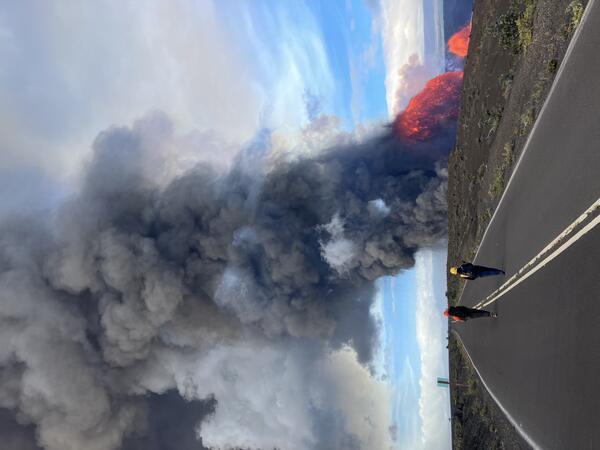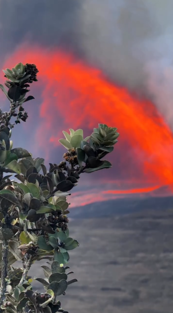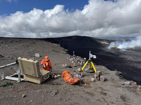
December 19, 2025 — New V3cam deployed at the summit of Kīlauea
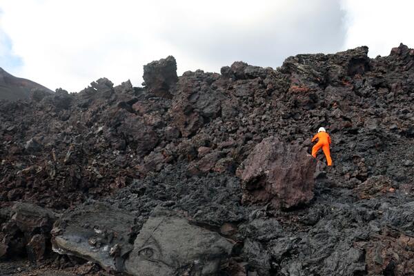
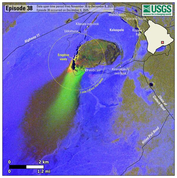
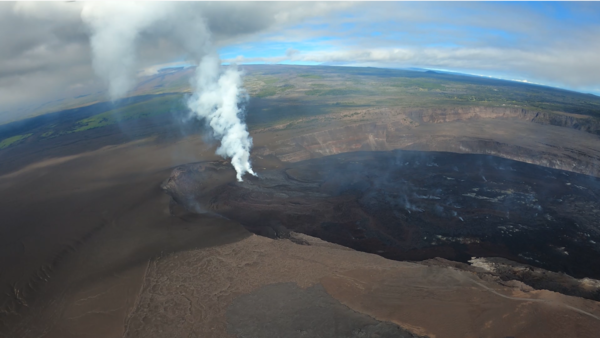
December 19, 2025 — New V3cam deployed at the summit of KīlaueaUSGS staff deployed a new V3cam on the south rim of Halemaʻumaʻu crater at the summit of Kīlauea volcano, within Hawaiʻi Volcanoes National Park. The camera, a pan-tilt-zoom model, replaces the V3cam that was located to the west, which was destroyed during episode 38 lava fountaining on December 6, 2025. USGS photo by M. Patrick.