Activity at the west vent within Halemaʻumaʻu crater on January 22
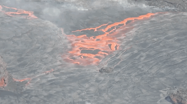
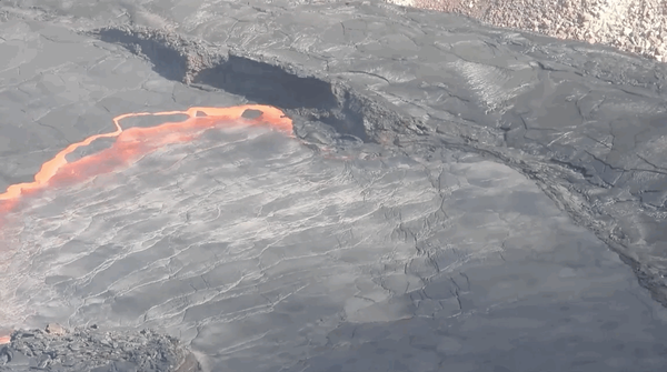
Activity at the west vent within Halemaʻumaʻu crater on January 22Activity at the west vent within Halemaʻumaʻu crater on January 22 included frequent spattering from multiple locations and an open lava channel which drops 20 meters (65 feet) from its source to the lava lake surface.