
WaterMarks Newsletter - Spring 2026
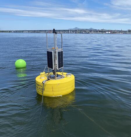
Coastal Water-Quality Monitoring in Massachusetts
The U.S. Geological Survey (USGS) operates high‑resolution, continuous water‑quality monitoring stations in estuaries across coastal Massachusetts to better understand these dynamic ecosystems. These efforts include collaborations with the Massachusetts Bays National Estuary Partnership (MassBays) and the Massachusetts Department of Environmental Protection (MassDEP) to support Clean Water Act...
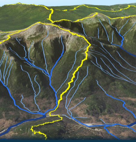
New User’s Guide to Updated Hydrographic Framework
The National Hydrography Dataset Plus High Resolution (NHDPlus HR) is a powerful suite of geospatial datasets that enable scientists to map and study watersheds and rivers across the 48 Contiguous United States (CONUS).
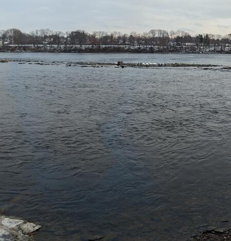
Boats, Trains, and Automobiles: A Historic Snapshot of Connecticut River Infrastructure
Looking across the Connecticut River from a USGS streamgage in Suffield, Connecticut, you can see structural remnants from the past and present infrastructure that have shaped and affected the river.
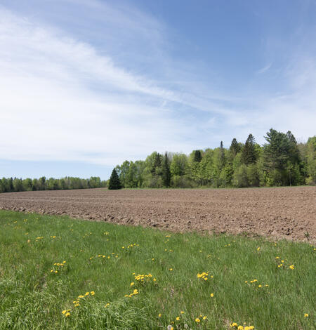
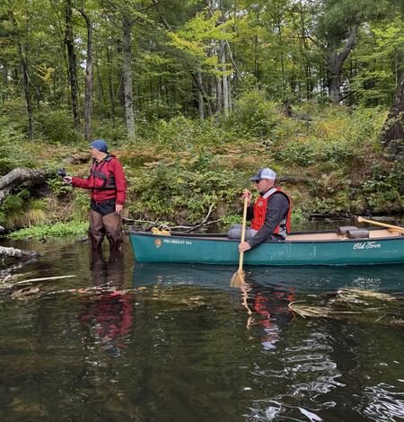
Climate-Scenario Project to Inform New England Farming Industry
Determining How New England’s Water Resources Respond to Various Climate Scenarios
Possible changes in temperature and precipitation over the next several decades may have implications for New England’s agricultural community, such as changing plant water availability and crop yield variability. The U.S. Geological Survey, in cooperation with the U.S. Department of Agriculture and the University of Maine, is predicting the potential hydrological effects based on these climatic...
Thermal Imagery to Inform Brook Trout Habitat Suitability and Restoration Potential, Upper Namekagon River, Wisconsin
The U.S. Geological Survey (USGS), in cooperation with the National Park Service (NPS), is using thermal infrared technology to identify cold-water habitat for brook trout and other cold-water species in the upper Namekagon River in Wisconsin. The upper Namekagon River and its tributaries have long served as a stronghold for brook trout and other cold- and cool-water species; however, changing...

New England WSC Products in the First Quarter of 2026
List of products from the New England Water Science Center released in the first quarter of 2026.