


Eyes on Earth Episode 60 – Landsat 9 Launch Part 1
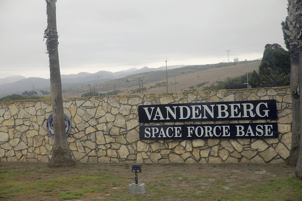
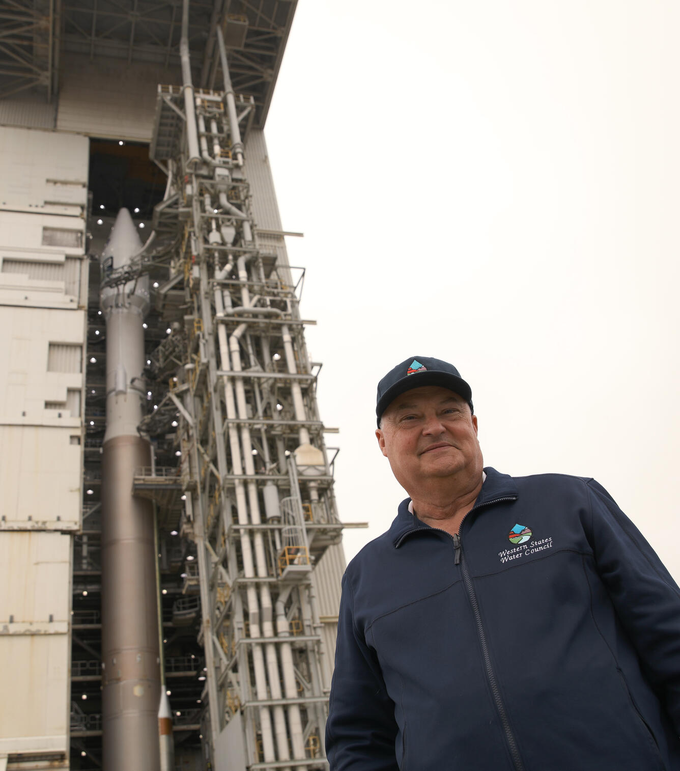
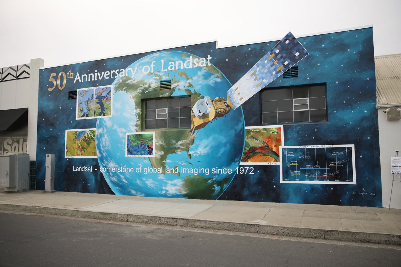
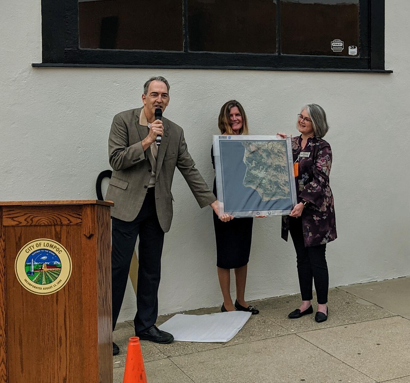
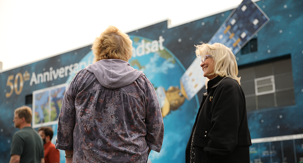
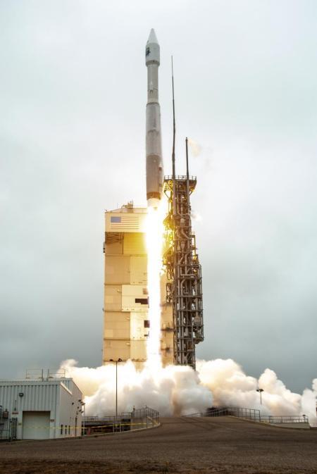
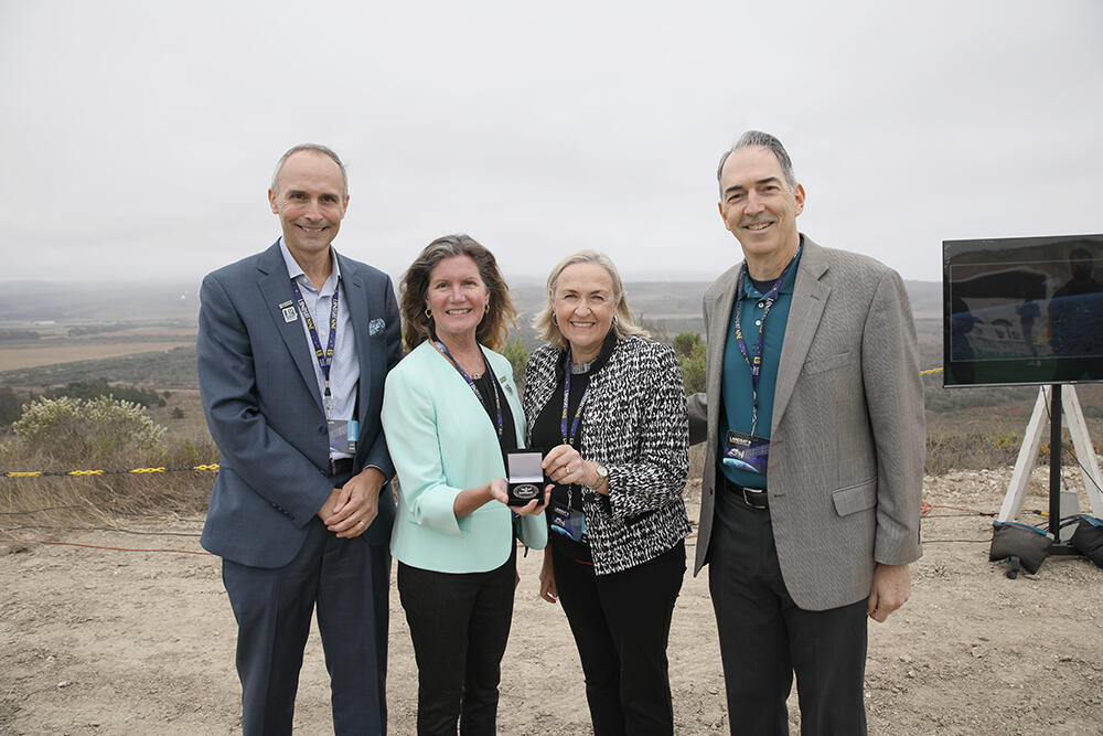
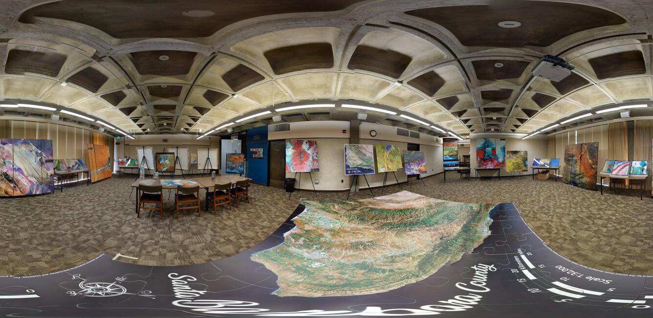
Eyes on Earth Episode 60 – Landsat 9 Launch Part 1Landsat 9 launched into orbit from Vandenberg Space Force Base on Monday, September 27, 2021, to carry on the legacy of a nearly 50-year record of continuous Earth observation that began in 1972. The days leading up to the event saw guests from around the world descend upon Santa Barbara County in California to watch the historic event take place.


