
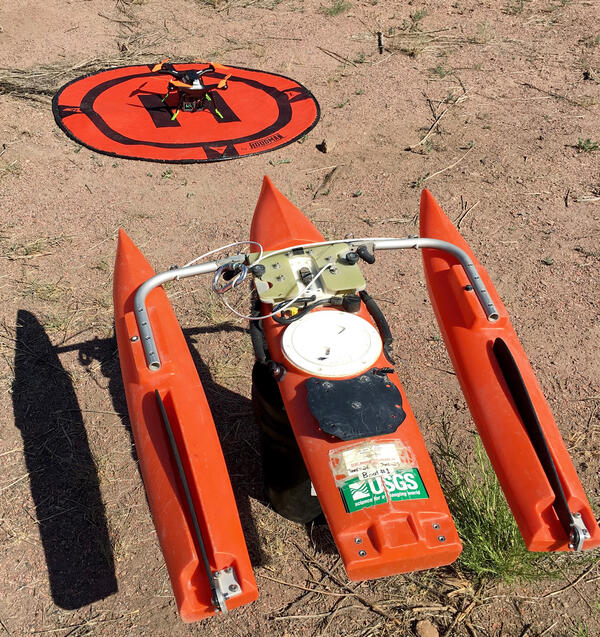
Small, Unmanned Aircraft Systems (sUAS) or drones can be used to monitor extreme flows in basins that (1) respond quickly to precipitation events, (2) are not gaged, (3) are located in terrain that restricts access and equipment deployments, and (4) are altered by events such as wildfires.
The research will explore the use of sUAS platforms to measure water depth, water levels, velocity, river discharge, and topography to better understand how this technology can be used to enhance information collection from the sky.
Objectives:
Miniaturize and integrate electronic sensors for measuring
Water depth and channel bathymetry
- stage radars
- Ground-penetrating radars (GPR) to measure channel depth
- MiDAR, a NASA-developed Multispectral Imaging, Detection and Active Reflectance
Velocity and river discharge
- Coherent, continuous-wave (CCW) Doppler (velocity) radars
- Large-scale particle image velocimetry
Topography (including floodplains)
- Cameras for low-altitude photogrammetry
- Lidar
Conduct test flights in Colorado and Alaska on small and large river systems.
Monitor extreme flow events to deliver data operationally to Cross-Missioned USGS end-users (Water and Hazards) and agencies such as the National Oceanic and Atmospheric Administration (NOAA) - NWS (NWS) Weather Forecast Offices, NWS River Forecast Centers, or Emergency Management Agencies (EMAs) in response to hazards.
State-of-the-art river measurements taken by instruments onboard drones could provide critical water data from previously inaccessible locations and from a new perspective. Conduct test flights and review how UAS measurements might contribute to flood response in Colorado and other parts of the U.S.