
National Innovation Center Seminar Series
UAS Research Center
Next Generation Stream Gaging
eDNA Sampling
Next Generation Volcano Monitoring
Next Generation Wildlife Tracking
National Innovation Center
The USGS National Innovation Center (NIC) works with public, private, and non-profit partners in Silicon Valley and elsewhere to design, test, and bring into operation the next generation of technology and engineering tools to help solve the Nation's pressing earth science challenges.
7th Federal UxS Users Workshop
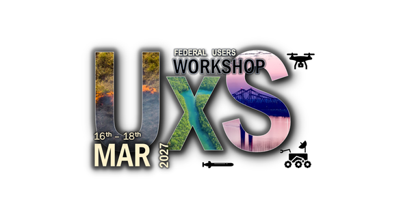
The tradition continues with our 7th Federal UxS Workshop, when our community will return to explore new opportunities, continued challenges, and training opportunities together.
USGS National Innovation Center Seminar Series
This bi-weekly seminar series is an opportunity to present innovation successes and prospects across USGS Mission Areas.
UAS Research Center

We support a broad range of UAS research applications and are home to the UAS Research Center where our engineers work to design, build, and field test UAS flight systems for science support.
Publications
Mapping river flow from thermal images in approximately real time: Proof of concept on the Sacramento River, California, USA Mapping river flow from thermal images in approximately real time: Proof of concept on the Sacramento River, California, USA
A framework to facilitate development and testing of image-based river velocimetry algorithms A framework to facilitate development and testing of image-based river velocimetry algorithms
Capturing patterns of evolutionary relatedness with reflectance spectra to model and monitor biodiversity Capturing patterns of evolutionary relatedness with reflectance spectra to model and monitor biodiversity
Science
7th Federal UxS Workshop

BisonCore Project
