



FORT Science in Action 2026, Part 14: Using aerial imagery to monitor changing rivers and manage invasive species
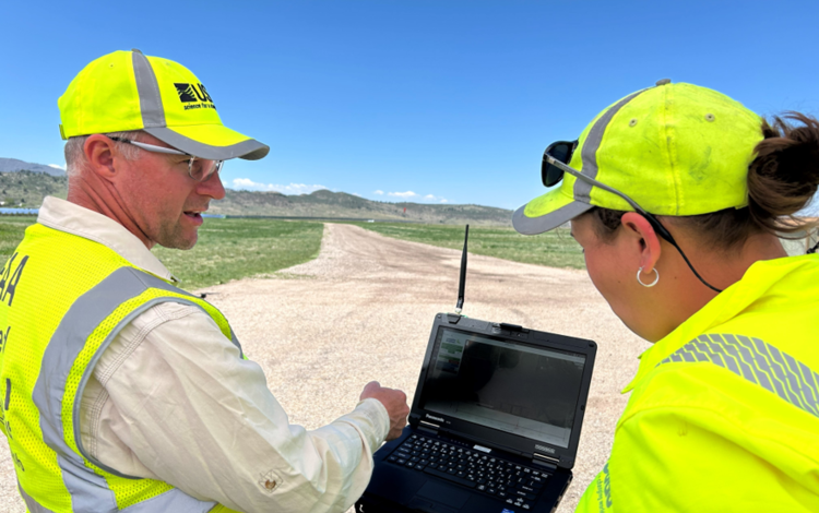
Staff across DOI use uncrewed aircraft systems (UASs) for a variety of purposes, from monitoring natural hazards to measuring environmental change. FORT scientists have years of experience using UAS to examine how rivers and riparian habitat change over time, and they are training researchers across DOI on how to use UAS for conventional and novel purposes, like tracking invasive pythons.
Scientific eyes in the skies
Scientists at FORT are working with partners in the Colorado River Basin to research and map the effects of drought on rivers and habitat, and develop tools for flow management. Specifically, FORT scientist Chris Holmquist-Johnson, is leveraging UAS technology to advance hydrological research through innovative aerial data collection.
This year, working with researchers from Oregon State University and specialists from Colorado, Holmquist-Johnson paired UAS imagery with on-the-ground habitat measurements to study how decreasing river flows impact macroinvertebrate communities, vital food sources for fish, birds, bats, amphibians, and reptiles. Their results show that decreasing river flows likely won’t change rivers uniformly; instead, they predicted riffles and runs would shrink more than pools, reducing available habitat for macroinvertebrates. A hydraulic modeling framework provided by the study can be integrated into flow management decisions to evaluate the efficacy of different strategies aimed at maintaining habitat composition and ecological communities.
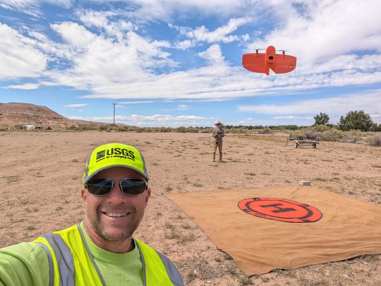
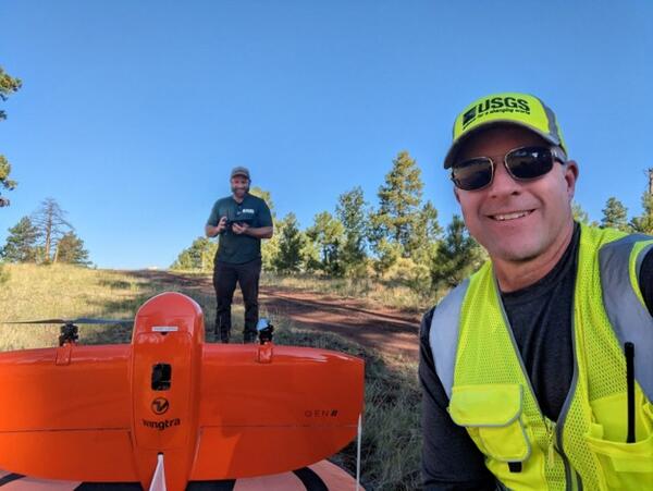
Holmquist-Johnson also partnered with other UAS specialists this year to map topography and vegetation extent of different management units. In Utah, the team collected annual aerial imagery of the Middle Green River at Horseshoe Bend and Ouray National Wildlife Refuge to detect changes in channel complexity and vegetation over time.
In Arizona’s Kaibab National Forest, the team used aerial imagery and LiDAR to survey a recently thinned area, gathering data on canopy structure and height, spatial forest patterns, forest density, and management impacts.
Finally, another collaborative team processed and released a dataset this year for a project along the Arizona border that utilized both UAS LiDAR and Terrestrial LiDAR to generate a final product for the San Bernardino National Wildlife Refuge (SBNWR) documenting invasive vegetation management and stream restoration. All of these published datasets will be useful to staff in the units responsible for streamflow and habitat management.
A novel application: tracking invasive snakes
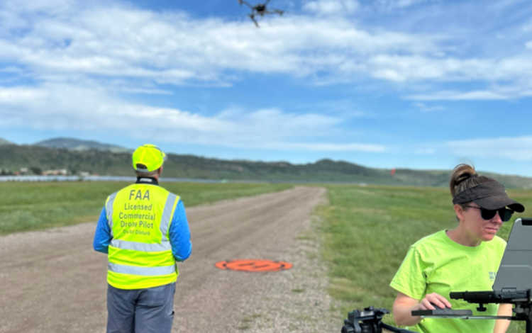
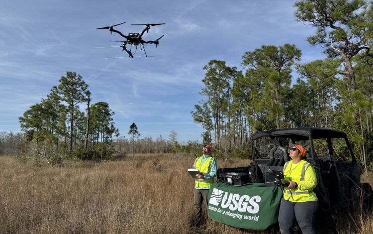
As a certified UAS Instructor for the Department of the Interior (DOI), Holmquist-Johnson also leads training programs to expand UAS capabilities among DOI scientists. One year ago, he trained a group of FORT scientists working in the Florida Everglades on UAS technology.
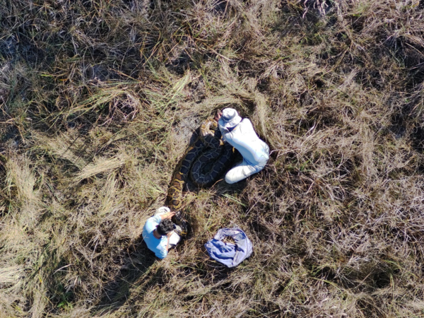
Now, those researchers are using UAS to track invasive Burmese pythons, gaining novel insights into their movement behavior across a vast, difficult terrain.
More FORT Science in Action
This September, FORT is highlighting how our science projects support sound decision-making. Each day, we will highlight a new project and its applications. To see more, follow the tabs below.
Related
Invasive Burmese python research in the Greater Everglades
Ecosystem change science in support of wildfire management, water conservation, public land reclamation, and food security

Integrated River and Riparian Ecosystem Studies
Related
Invasive Burmese python research in the Greater Everglades
Ecosystem change science in support of wildfire management, water conservation, public land reclamation, and food security