U.S. flag

An official website of the United States government

Fort Collins Science Center

Welcome to the Fort Collins Science Center (FORT) located in Fort Collins, Colorado, just east of the Rocky Mountains. At FORT we develop and disseminate research-based information and tools needed to understand the nation’s natural resources in support of effective decision making.

News

FORT Science in Action 2026, Part 8: Rapid response science summary products to support natural resource managers

FORT Science in Action 2026, Part 8: Rapid response science summary products to support natural resource managers

FORT Science in Action 2026, Part 7: Using fire history to inform fire management and future wildfire projections in the Western U.S.

FORT Science in Action 2026, Part 7: Using fire history to inform fire management and future wildfire projections in the Western U.S.

FORT Science in Action 2026, Part 6: Economics and social science to support wildfire risk management

FORT Science in Action 2026, Part 6: Economics and social science to support wildfire risk management

Publications

Monitoring recreation on federally managed lands and waters—Aspects of visitor use Monitoring recreation on federally managed lands and waters—Aspects of visitor use

Federally managed public lands and waters receive around 1 billion recreational visits each year. Data on these visitors can aid in guiding policy decisions, managing resources effectively, and communicating the economic contributions of lands and waters. This report explores the methods used by agencies to collect data on aspects of recreational visitor use to Federal lands and waters...
Authors
Emily J. Wilkins, Dieta Hanson, Whitney Boone, Spencer A. Wood, Christian Crowley, Rudy Schuster

When best intentions are not enough - A collaboration between scientists, policymakers, and an agricultural community When best intentions are not enough - A collaboration between scientists, policymakers, and an agricultural community

Rocky Mountain National Park is a Congressionally mandated Clean Air Act Class I Area, but years of research have documented evidence of biogeochemical and ecological change caused by atmospheric deposition of nitrogen. A coalition of government agencies—National Park Service, the Environmental Protection Agency Region 8, and the State of Colorado—developed the 2007 Nitrogen Deposition...
Authors
Jill Baron, Sarah Lindley, Jeffrey Collett, Lillian Naimie

Spatial variation in effectiveness and costs of sagebrush restoration treatments across the western United States Spatial variation in effectiveness and costs of sagebrush restoration treatments across the western United States

Natural resource managers strive to improve restoration efficiency across the vast network of public lands of the United States, seeking the best return on investment through innovation, geographic prioritization, and adaptive management. This challenge is exemplified by ecosystems dominated by sagebrush (Artemisia spp.), which occur across the western United States and have been...
Authors
Adrian P. Monroe, James R. Meldrum, Bryan C. Tarbox, Erica Meta Christensen, Christian Huber, Robert S. Arkle, Peter S. Coates, Julie A. Heinrichs, Michelle I. Jeffries, Michael S. O’Donnell, David S. Pilliod, Justin L. Welty, Cameron L. Aldridge

Science

Identifying Chains of Consequences and Interventions for Post-fire Hazards and Impacts to Resources and Ecosystems
As part of a broader USGS project on Post-fire Hazards and Impacts to Resources and Ecosystems (PHIRE): Support for Response, Recovery, and Mitigation, the PHIRE social science team convenes stakeholders involved in post-fire hazard science and decision-making to identify potential consequences resulting from post-fire hazard scenarios along with strategies to reduce the likelihood or severity of...
Identifying Chains of Consequences and Interventions for Post-fire Hazards and Impacts to Resources and Ecosystems

Identifying Chains of Consequences and Interventions for Post-fire Hazards and Impacts to Resources and Ecosystems

As part of a broader USGS project on Post-fire Hazards and Impacts to Resources and Ecosystems (PHIRE): Support for Response, Recovery, and Mitigation, the PHIRE social science team convenes stakeholders involved in post-fire hazard science and decision-making to identify potential consequences resulting from post-fire hazard scenarios along with strategies to reduce the likelihood or severity of...
Learn More

The Ecoinformatics and Wildlife Technology (ECOTECH) Research Group

The Ecoinformatics and Wildlife Technology (ECOTECH) team is a multidisciplinary group that unites expertise in biology, ecology, statistics, data science, and technology to deliver integrated scientific, hardware, and software solutions for modernizing natural resource science. ECOTECH leverages longstanding relationships with partners and draws upon intimate knowledge of both user needs and...
The Ecoinformatics and Wildlife Technology (ECOTECH) Research Group
The Ecoinformatics and Wildlife Technology (ECOTECH) Research Group

The Ecoinformatics and Wildlife Technology (ECOTECH) team is a multidisciplinary group that unites expertise in biology, ecology, statistics, data science, and technology to deliver integrated scientific, hardware, and software solutions for modernizing natural resource science. ECOTECH leverages longstanding relationships with partners and draws upon intimate knowledge of both user needs and...
Learn More

Modernized Breeding Bird Survey Portal

The North American Breeding Bird Survey (BBS) Portal is a modern information system that enables volunteer observers and regional coordinators to manage survey routes, enter field data, and coordinate route assignments online. The portal replaces legacy paper-based and outdated digital workflows with a streamlined interface built for the BBS community. Observers can view their assigned routes...
Modernized Breeding Bird Survey Portal

Modernized Breeding Bird Survey Portal

The North American Breeding Bird Survey (BBS) Portal is a modern information system that enables volunteer observers and regional coordinators to manage survey routes, enter field data, and coordinate route assignments online. The portal replaces legacy paper-based and outdated digital workflows with a streamlined interface built for the BBS community. Observers can view their assigned routes...
Learn More

Multimedia

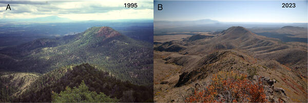
side-by-side of forested mountains in 1995 on the left, and burned forested mountains on the right in 2023.
Dry-conifer forest loss from high-severity fires in the Jemez Mountains, New Mexico (1995–2023).
two people in yellow vests lean against an OHV, look up at drone flying above them, grasses and trees in background
USGS researchers test new UAS technology for locating invasive pythons in the Everglades
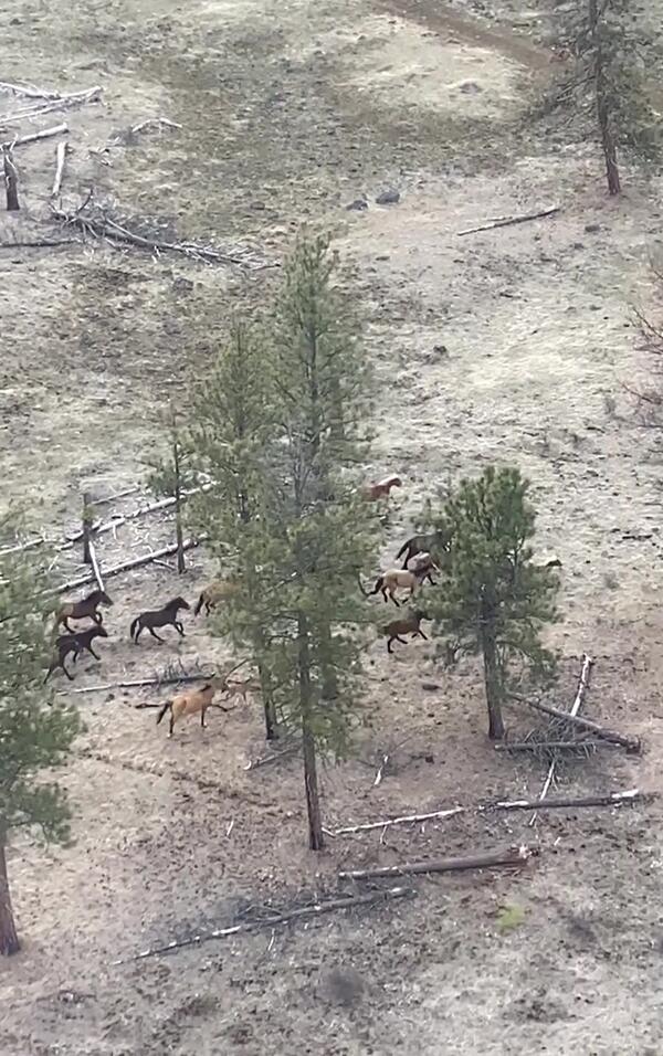
a group of horses running through tall trees and brown grasses a group of horses running through tall trees and brown grasses
Wild horses on the Warm Springs Reservation
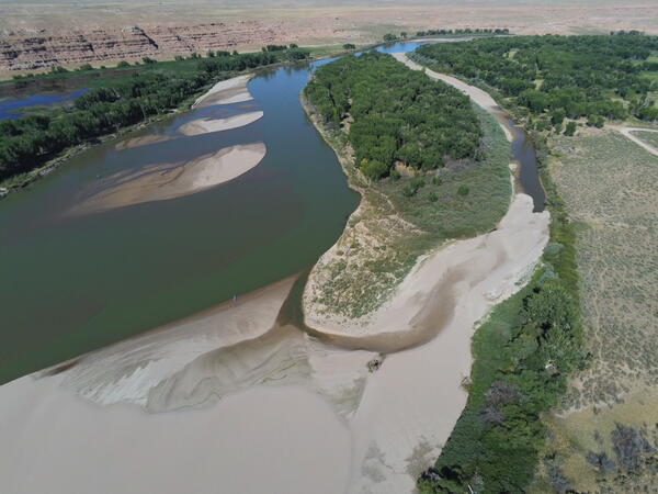
a blue-green river with many sand bars and beaches surrounded by trees and rock formations a blue-green river with many sand bars and beaches surrounded by trees and rock formations
Aerial footage of the Green River in Ouray National Wildlife Refuge
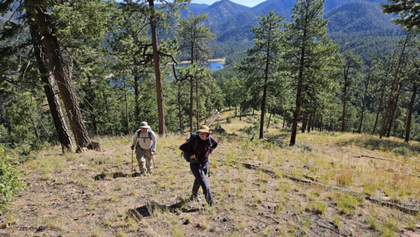
two people walking uphill through a pine forest, with a lake and mountains in the background
New Mexico Landscapes Field Station staff in the Santa Fe Watershed, New Mexico
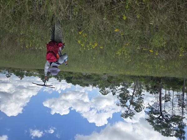
a person with red backpack and purple hat holds up a tracking device in a field with yellow flowers, trees in background
Tracking Burmese pythons in the Florida Everglades
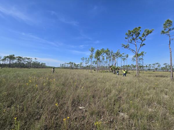
three people stand in a large prairie, with trees sparsely distributed throughout and blue sky above
Researchers search for pythons in Everglades prairie habitat
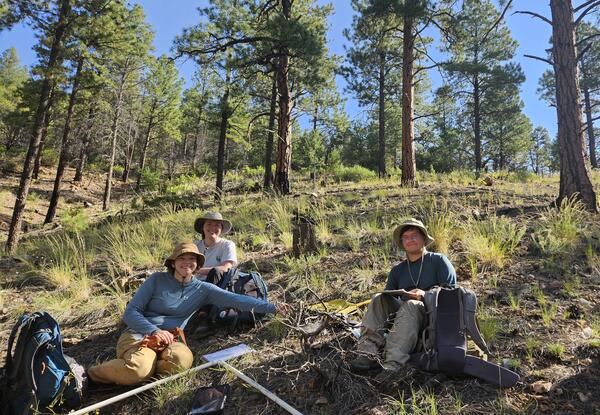
three people in field gear and with field equipment sit on a forest floor, with grasses and pine trees behind them
New Mexico Landscapes Field Station staff in the Santa Fe Watershed, New Mexico
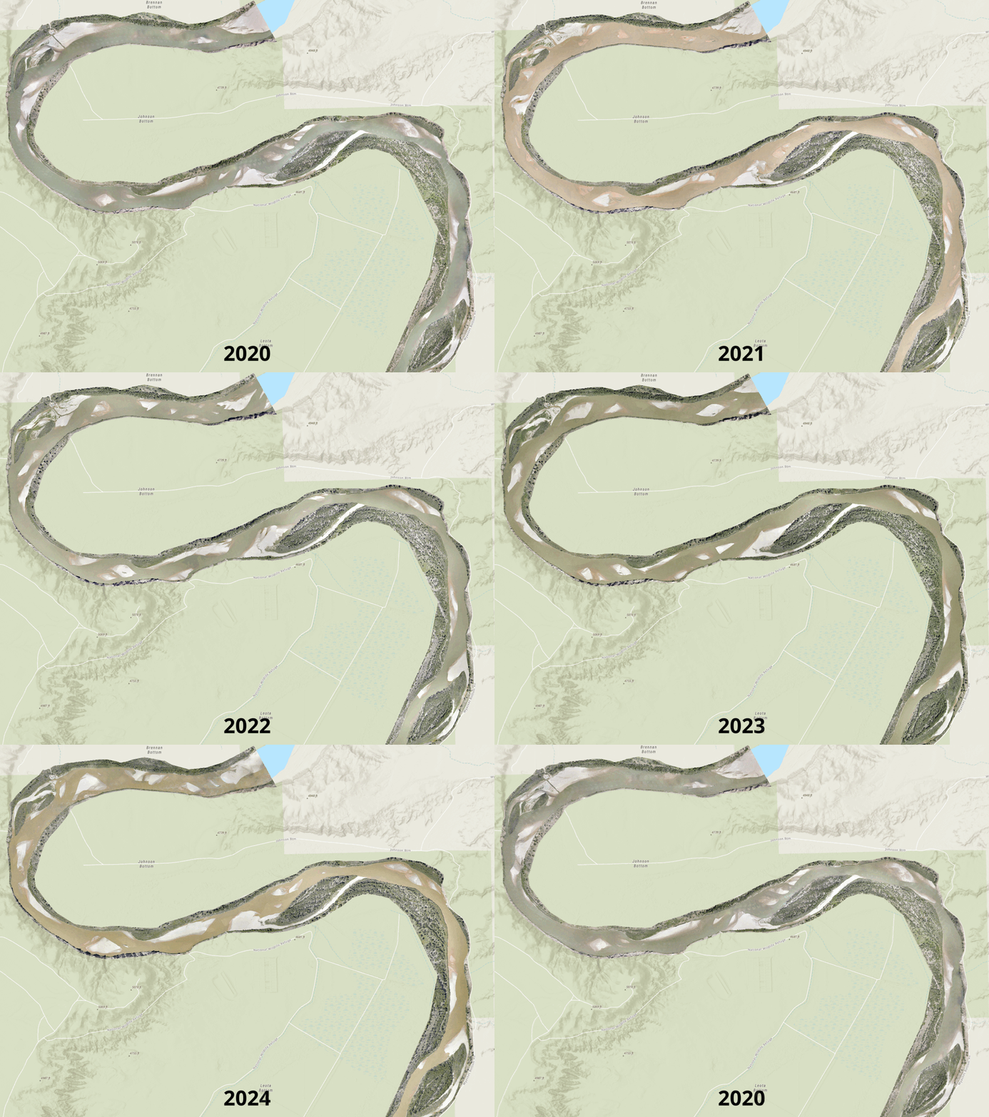
photo montage of yearly riverbed changes across 2020-2024
Channel and vegetation change along a 6-mile reach of the Middle Green River
Was this page helpful?