
Brian's Staff photo taken by an unknown photographer in August 2025. Image was resaved using The Gimp in order to upload into Drupal.
Multimedia
Images
Brian Twining's Staff Photo
Brian's Staff photo taken by an unknown photographer in August 2025. Image was resaved using The Gimp in order to upload into Drupal.
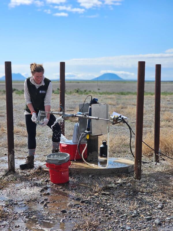
Alli Sampling at CFC on May 2025
Hydrologist taking groundwater sample for age dating with East Butte and Middle Butte in the background. Photograph by Austin Taylor in May 2025.
Hydrologist taking groundwater sample for age dating with East Butte and Middle Butte in the background. Photograph by Austin Taylor in May 2025.
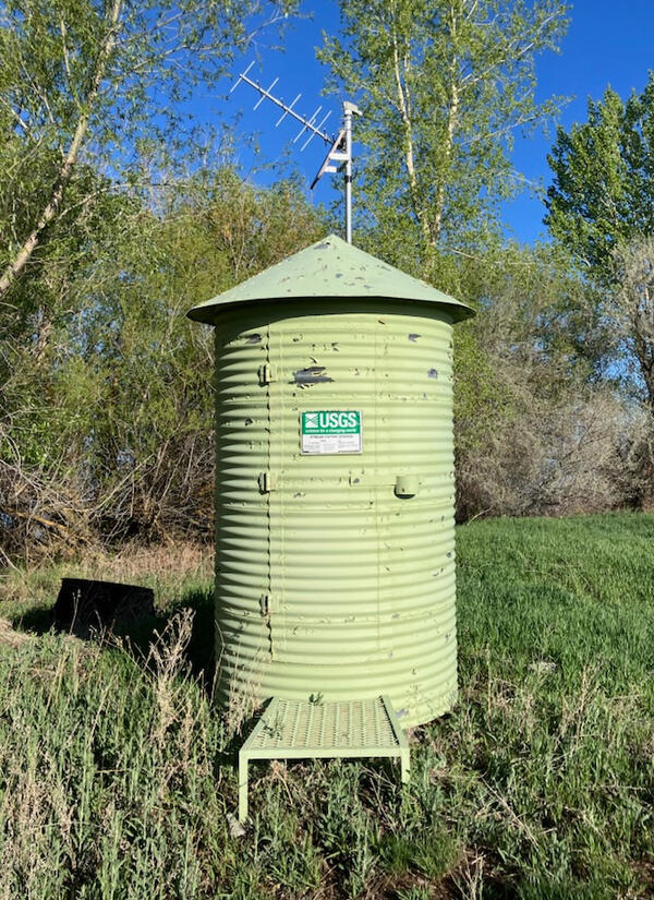
Mud lake Gauge Station
USGS gauging station located at Mud Lake, Idaho. Photograph by Tim Cox in May 2025.
USGS gauging station located at Mud Lake, Idaho. Photograph by Tim Cox in May 2025.

Groundwater-level synoptic, Camas Prairie, Idaho, April 2025
Groundwater-level synoptic, Camas Prairie, Idaho, April 2025USGS hydrologist Hannah Richardson prepares to collect a groundwater-level measurement from a well on Idaho's Camas Prairie as part of a groundwater synoptic survey, April 10, 2025. The headwaters of Lava Creek can be seen in the distance.
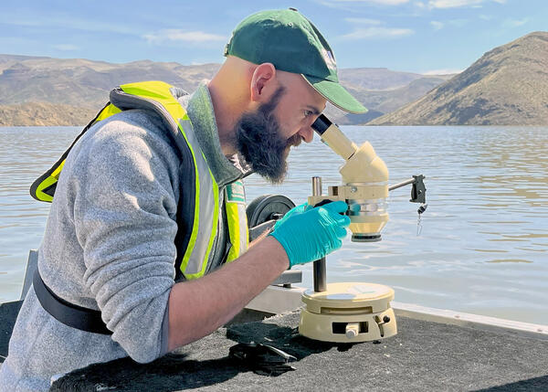
Water-quality reconnaissance of Owyhee Reservoir, eastern Oregon
Water-quality reconnaissance of Owyhee Reservoir, eastern OregonResearch hydrologist Tyler King of the U.S. Geological Survey's Hydrologic Remote Sensing Branch examines a water sample collected from Owyhee Reservoir in eastern Oregon, April 10, 2025. King and scientists from the U.S.
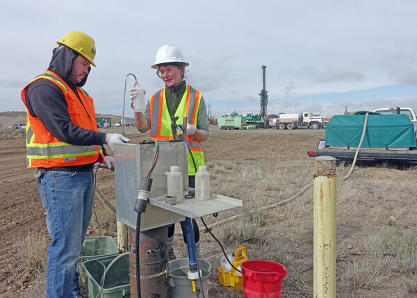
Groundwater monitoring at the Idaho National Laboratory
Groundwater monitoring at the Idaho National LaboratoryAustin Taylor and Allison Trcka of the USGS Idaho Water Science Center's Idaho National Laboratory Project Office collect water samples from monitoring well USGS 111 at the Idaho National Laboratory in southeastern Idaho.
Videos

Lightning Creek at Clark Fork, Idaho: December 9, 2015
Lightning Creek at Clark Fork, Idaho: December 9, 2015On December 9, 2015, heavy rain and resulting snowmelt swelled many Pacific Northwest rivers to flood stage. One of these streams was Lightning Creek at Clark Fork, Idaho. In a 24-hour period, Lightning Creek rose from about 200 cubic feet per second (cfs) to more than 10,000 cfs as recorded at USGS strreamgage 12392155.