Ohio River at Olmsted IL - equipment after cleaning
Ohio River at Olmsted IL - equipment after cleaningOhio River at Olmsted IL - equipment after cleaning

Official websites use .gov
A .gov website belongs to an official government organization in the United States.
Secure .gov websites use HTTPS
A lock () or https:// means you’ve safely connected to the .gov website. Share sensitive information only on official, secure websites.
Ohio-Kentucky-Indiana Water Science Center images.

Ohio River at Olmsted IL - equipment after cleaning
Ohio River at Olmsted IL - equipment after cleaning

Ohio River at Ironton, OH - D96 water quality sampler
Ohio River at Ironton, OH - D96 water quality sampler

Ohio River at Ironton OH - walkway to tower

Ohio River at Olmsted IL - equipment damaged by barge
Ohio River at Olmsted IL - equipment damaged by barge

Ohio River at Olmsted IL - equipment damaged by barge traffic
Ohio River at Olmsted IL - equipment damaged by barge traffic

Yellow Creek near Oak Grove, IN - view from left bank of site
Yellow Creek near Oak Grove, IN - view from left bank of site

Kentucky River at Lock 2 at Lockport KY - gage house
Kentucky River at Lock 2 at Lockport KY - gage house

Kentucky River at Lock 2 at Lockport KY - walkway across the dam
Kentucky River at Lock 2 at Lockport KY - walkway across the dam

South Flume (USGS Station ID: 413611087201301) surrounded by native plant species, including salt-tolerant blue iris, planted in the Gary City Hall rain garden, Indiana.
South Flume (USGS Station ID: 413611087201301) surrounded by native plant species, including salt-tolerant blue iris, planted in the Gary City Hall rain garden, Indiana.

Kanakee River at Davis, IN - gage house side view

Kankakee River at Davis, IN - side view of gage on bridge
Kankakee River at Davis, IN - side view of gage on bridge
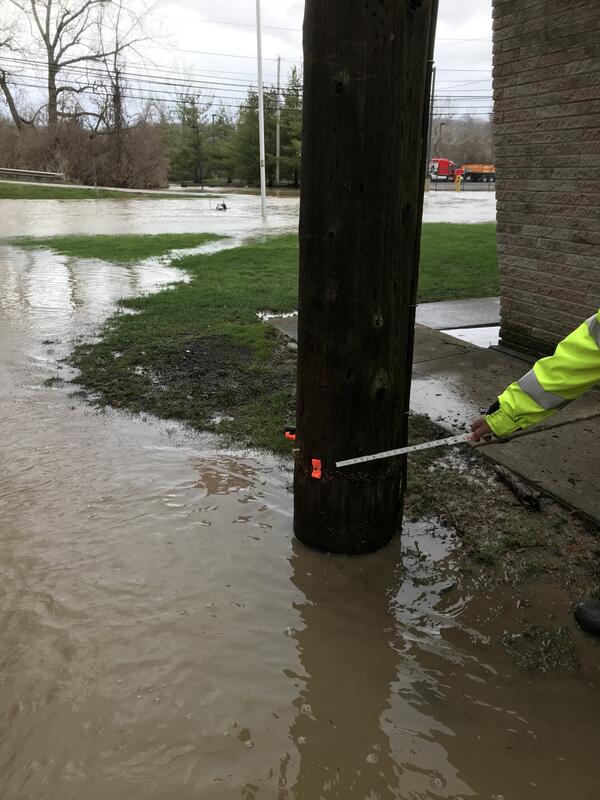
Cuyahoga River at Independence OH - 2018 high water mark
Cuyahoga River at Independence OH - 2018 high water mark

Cuyahoga River at Independence OH - flood water in gage house
Cuyahoga River at Independence OH - flood water in gage house

The USGS Ohio Water Microbiology Laboratory addresses water-related public-health concerns and is involved in investigations of processes that affect microorganisms in the environment and testing of new methods to improve detection and interpretation of microbiological presence in water.
The USGS Ohio Water Microbiology Laboratory addresses water-related public-health concerns and is involved in investigations of processes that affect microorganisms in the environment and testing of new methods to improve detection and interpretation of microbiological presence in water.

The USGS Ohio Water Microbiology Laboratory addresses water-related public-health concerns and is involved in investigations of processes that affect microorganisms in the environment and testing of new methods to improve detection and interpretation of microbiological presence in water.
The USGS Ohio Water Microbiology Laboratory addresses water-related public-health concerns and is involved in investigations of processes that affect microorganisms in the environment and testing of new methods to improve detection and interpretation of microbiological presence in water.

Eagle Creek at Zionsville, IN

Huron River at Milan, OH - low flow

Yellow Creek near Oak Grove, IN - USGS staff making bridge measurement
Yellow Creek near Oak Grove, IN - USGS staff making bridge measurement

Yellow Creek near Oak Grove, IN - high flow measurement
Yellow Creek near Oak Grove, IN - high flow measurement

Yellow Creek near Oak Grove, IN - adcp high water measurement
Yellow Creek near Oak Grove, IN - adcp high water measurement

Yellow Creek near Oak Grove, IN - view from bridge
Yellow Creek near Oak Grove, IN - view from bridge