
This is the outfall on the Rio Hondo at Two Rivers Reservoir. Pecos River Watershed Salinity Study. 2014 field trip, New Mexico.
Images
Photographs taken by Oklahoma-Texas Water Science Center employees at local, national, and international project locations.
Filter Total Items: 551

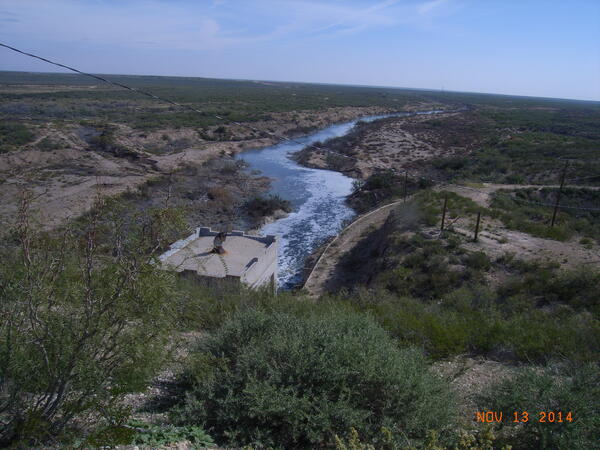
Rio Hondo outfall
This is the outfall on the Rio Hondo at Two Rivers Reservoir. Pecos River Watershed Salinity Study. 2014 field trip, New Mexico.

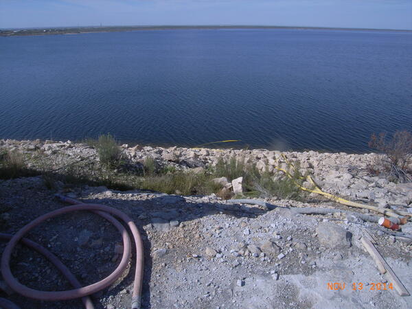
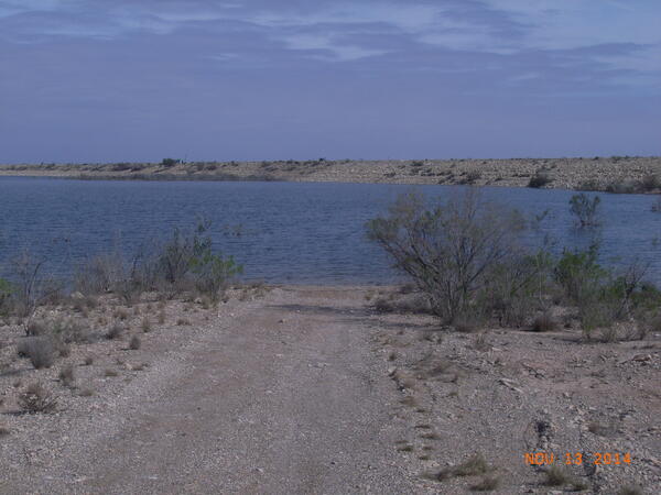
Two Rivers Reservoir
Two Rivers Reservoir. Pecos River Watershed Salinity Study. 2014 field trip, New Mexico.
Two Rivers Reservoir. Pecos River Watershed Salinity Study. 2014 field trip, New Mexico.

7 Rivers augmentation well 15C
with Lewis Land and Greg Lewis. Pecos River Watershed Salinity Study. 2014 field trip, New Mexico.
with Lewis Land and Greg Lewis. Pecos River Watershed Salinity Study. 2014 field trip, New Mexico.
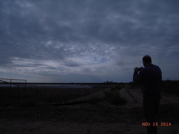
Red Bluff Reservoir
Photo taken near dam control. Pecos River Watershed Salinity Study. 2014 field trip, New Mexico.
Photo taken near dam control. Pecos River Watershed Salinity Study. 2014 field trip, New Mexico.
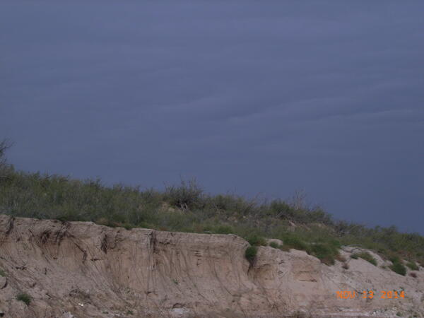
Malaga Bend - landscape view
Pecos River at Malaga Bend - landscape view. Pecos River Watershed Salinity Study. 2014 field trip, New Mexico.
Pecos River at Malaga Bend - landscape view. Pecos River Watershed Salinity Study. 2014 field trip, New Mexico.
Evaporation ponds at Southwest Salt
This is a picture of the evaporation ponds at Southwest Salt. A better picture of the ponds is location in the USGS 2011 New Mexico photo collection. Pecos River Watershed Salinity Study. 2014 field trip, New Mexico.
This is a picture of the evaporation ponds at Southwest Salt. A better picture of the ponds is location in the USGS 2011 New Mexico photo collection. Pecos River Watershed Salinity Study. 2014 field trip, New Mexico.
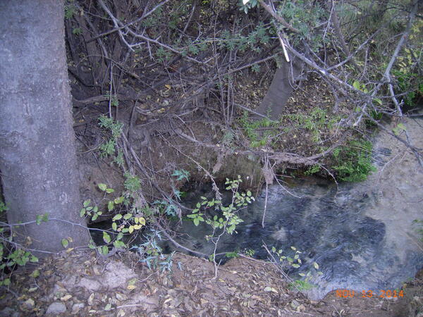
Blue Spring
Blue Spring. One of the springs that feeds the Black River in New Mexico. Very fresh. Pecos River Watershed Salinity Study. 2014 field trip, New Mexico.
Blue Spring. One of the springs that feeds the Black River in New Mexico. Very fresh. Pecos River Watershed Salinity Study. 2014 field trip, New Mexico.
Red Bluff Reservoir - Outfall to the Pecos River
Red Bluff Reservoir - Outfall to the Pecos River. Pecos River Watershed Salinity Study. 2014 field trip, New Mexico.
Red Bluff Reservoir - Outfall to the Pecos River. Pecos River Watershed Salinity Study. 2014 field trip, New Mexico.

Pecos River at Malaga Bend
Pecos River at Malaga Bend. Pecos River Watershed Salinity Study. 2014 field trip, New Mexico.
Pecos River at Malaga Bend. Pecos River Watershed Salinity Study. 2014 field trip, New Mexico.
Red Bluff Reservoir
Red Bluff Reservoir. Pecos River Watershed Salinity Study. 2014 field trip, New Mexico.
Red Bluff Reservoir. Pecos River Watershed Salinity Study. 2014 field trip, New Mexico.
Spillway at Red Bluff
Spillway at Red Bluff Reservoir. Gates are always open. Pecos River Watershed Salinity Study. 2014 field trip, New Mexico.
Spillway at Red Bluff Reservoir. Gates are always open. Pecos River Watershed Salinity Study. 2014 field trip, New Mexico.
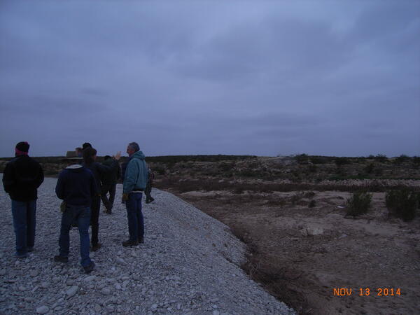
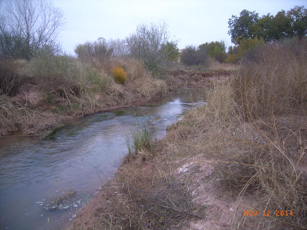
Gravel bar by South Seven Rivers
Gravel bar, possibly formed during storm event, by South Seven Rivers. Pecos River Watershed Salinity Study. 2014 field trip, New Mexico.
Gravel bar, possibly formed during storm event, by South Seven Rivers. Pecos River Watershed Salinity Study. 2014 field trip, New Mexico.
Fort Sumner Irrigation District Drain
Fort Sumner Irrigation District Drain. Pecos River Watershed Salinity Study. 2014 field trip, New Mexico.
Fort Sumner Irrigation District Drain. Pecos River Watershed Salinity Study. 2014 field trip, New Mexico.

Santa Rosa Dam
Santa Rosa Dam and bridge to dam control . Pecos River Watershed Salinity Study. 2014 field trip, New Mexico.
Santa Rosa Dam and bridge to dam control . Pecos River Watershed Salinity Study. 2014 field trip, New Mexico.

Landscape View of Santa Rosa Lake
Santa Rosa Lake Landscape View. Pecos River Watershed Salinity Study. 2014 field trip, New Mexico.
Santa Rosa Lake Landscape View. Pecos River Watershed Salinity Study. 2014 field trip, New Mexico.

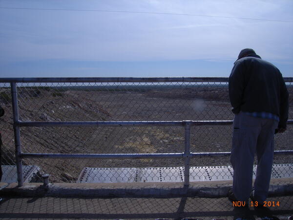
Bridge to Santa Rosa Dam control room
Bridge across Santa Rosa Lake to the Dam control Room. Pecos River Watershed Salinity Study. 2014 field trip, New Mexico.
Bridge across Santa Rosa Lake to the Dam control Room. Pecos River Watershed Salinity Study. 2014 field trip, New Mexico.

Santa Rosa Dam Control Building
Bridge to the Santa Rosa Dam Control. Pecos River Watershed Salinity Study. 2014 field trip, New Mexico.
Bridge to the Santa Rosa Dam Control. Pecos River Watershed Salinity Study. 2014 field trip, New Mexico.
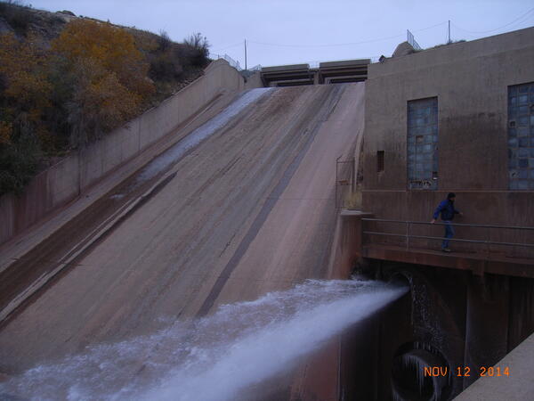
Sumner Dam Outfall
Sumner Dam Outfall. Pecos River Watershed Salinity Study. 2014 field trip, New Mexico.
Sumner Dam Outfall. Pecos River Watershed Salinity Study. 2014 field trip, New Mexico.

Santa Rosa Lake
Santa Rosa Lake showing bridge to dam control. Pecos River Watershed Salinity Study. 2014 field trip, New Mexico.
Santa Rosa Lake showing bridge to dam control. Pecos River Watershed Salinity Study. 2014 field trip, New Mexico.
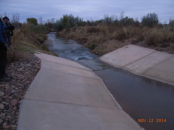
Flume for measuring discharge
FSID drain - Flume for measuring discharge. Pecos River Watershed Salinity Study. 2014 field trip, New Mexico.
FSID drain - Flume for measuring discharge. Pecos River Watershed Salinity Study. 2014 field trip, New Mexico.
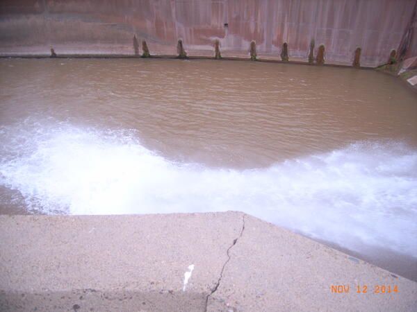
Sumner Outfall flume Area
Sumner Dam outfall flume. Pecos River Watershed Salinity Study. 2014 field trip, New Mexico.
Sumner Dam outfall flume. Pecos River Watershed Salinity Study. 2014 field trip, New Mexico.