
Aerial Surveys
Aerial Surveys
Filter Total Items: 1
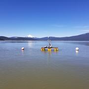
Integrating water availability in the Klamath Basin: from drought to dam removal
The USGS Water Resources Mission Area is assessing how much water is available for human and ecological needs in the United States and identifying where and when the Nation may have challenges meeting its demand for water. This information helps decision makers manage and distribute water in ways that balance competing needs. Due to its complex and competing water demands, ecological significance...