
Groundwater
Groundwater
National Groundwater App
Discrete water-level measurements are made at more than 500 wells once per year during March (Feb in 2 counties.) Recorders are installed on 23 of those wells and provide continuous time-series data for those sites. Nine of those wells transmit data daily.
To see wells with daily data, click on link below, choose USGS Monitoring Locations/Layers/Groundwater. Turn off streams to see more clearly
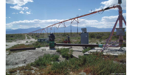
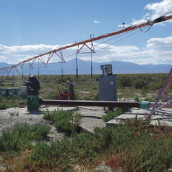
Managed Aquifer Recharge
Managed Aquifer Recharge
Explore the results of a study of managed aquifer recharge in Southern Utah.
Groundwater Conditions
Groundwater Conditions
Learn more about groundwater conditions and major areas of groundwater development.
Filter Total Items: 4
Groundwater Conditions in Utah
Since 1964, the U.S. Geological Survey, the Utah Department of Natural Resources, Division of Water Rights, and the Utah Department of Environmental Quality, Division of Water Quality have cooperatively published an annual report describing groundwater conditions in Utah. The annual paper reports provided data that enabled interested parties to maintain awareness of changing groundwater conditions...

Groundwater Models
Groundwater is an important resource, but availability, quality, and sustainability during growth have become major concerns. Groundwater models are numerical representations that help hydrologists better understand groundwater systems. These models also provide tools for water managers. The Utah Water Science Center has groundwater models for many seperate areas in Utah as well as two regional...

Colorado Plateau Regional Groundwater Availability
Study goals This project seeks to quantify the status of groundwater as an integrated resource with surface water in the arid and semiarid region of the Colorado Plateau principal aquifer system. Surface-water resources that originate in this region are over allocated and serve 35 million people, 4.5 million acres of farmland, and are used to generate 12 billion kilowatt hours of electricity in...

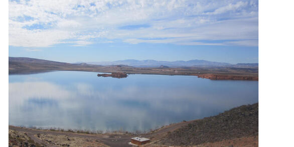
Managed Aquifer Recharge
Sand Hollow Reservoir in Washington County, Utah, was completed in March 2002 and is operated for both surface-water storage and managed aquifer recharge via infiltration from surface basin spreading to the underlying Navajo Sandstone. From 2002 through 2014, about 216,000 acre-feet were diverted from the Virgin River to Sand Hollow Reservoir, and about 127,000 acre-feet of water seeped beneath...