
Major Update to Satellite-Based Datasets Used to Assess Salt Marsh Vulnerability Nationwide
The Unvegetated-Vegetated Marsh Ratio now computes national salt marsh vulnerability using satellite imagery from 1985-2023—a significant increase from the original 2014-2018 dataset.
The Unvegetated-Vegetated Marsh Ratio (UVVR) is widely used by Federal, state, and non-governmental organizations across the Nation to assess salt marsh vulnerability and make restoration and land management decisions.
UVVR uses satellite imagery at a 30-meter resolution to map coastal wetlands of the conterminous United States. In late 2024, it was updated to include a much larger dataset. While UVVR used to rely on satellite imagery from 2014-2018, it now uses imagery from 1985-2023 to calculate marsh vulnerability Nationwide, providing more comprehensive results and enabling assessment of long-term change.
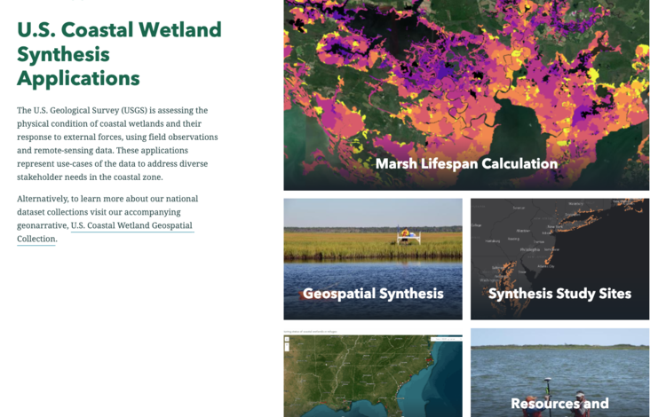
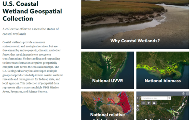
These updated datasets can be downloaded via ScienceBase. The interactive maps displaying national UVVR data in the U.S. Coastal Wetland Synthesis Applications and U.S. Coastal Wetland Geospatial Collection geonarratives will be updated by Summer 2025.

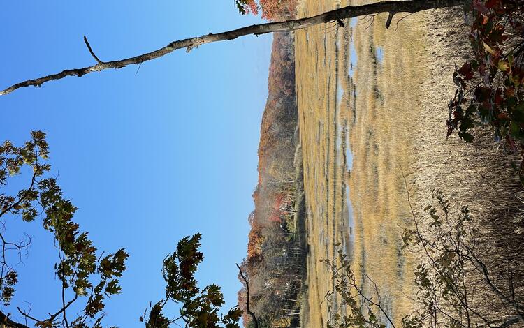
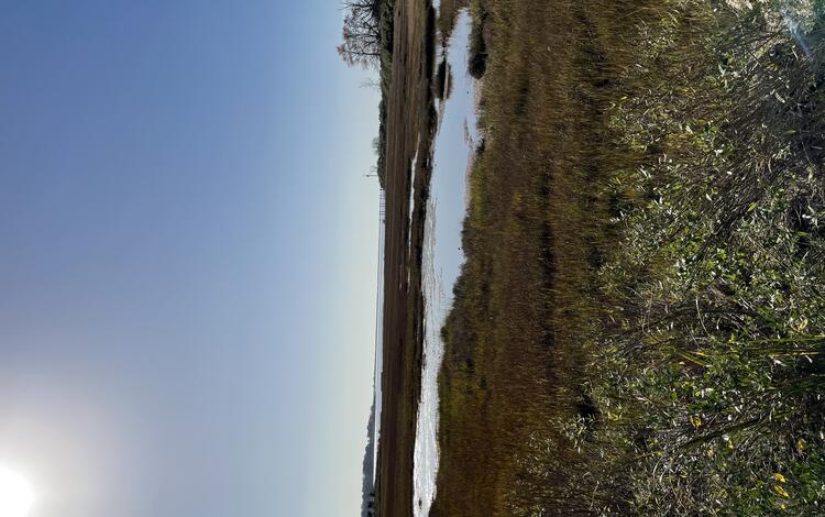
UVVR evaluates the ratio of unvegetated area to vegetated area across an entire marsh system, covering marsh plains, channels, ponds, and intertidal flats. Larger values of UVVR indicate more open water and less vegetation, which leads to more vulnerability to ongoing marsh loss.
Before using satellite imagery, all UVVR assessments were conducted using site-specific studies. However, individual studies are labor-intensive and require multiple aerial surveys, detailed merging of elevation and imagery data, and the interpretation of multiple imagery classes. Developing a method to use Landsat 8 satellite imagery enables users to get broad assessments of vulnerable salt marshes without requiring cumbersome site-specific studies.
The USGS research team behind UVVR built numerous partnerships and collaborative working groups with users, such as the U.S. Fish and Wildlife Service, National Estuarine Research Reserves, and the National Park Service, to integrate UVVR into geospatial products that directly address specific marsh management questions. This recent UVVR update ensures the continued relevance and reliability of these geospatial products in conservation and land management decision making.

Related

Estuarine Processes, Hazards, and Ecosystems-Study Sites

Estuarine Processes, Hazards, and Ecosystems
Related
Estuarine Processes, Hazards, and Ecosystems-Study Sites