
Step 1: Check for Missing Structure Points
This section will walk you through the process of determining if a structure point is missing from the map.
Back to: Editing | Previous: How to Add a New Structure | Next: Step 2: Place a Point on the Map
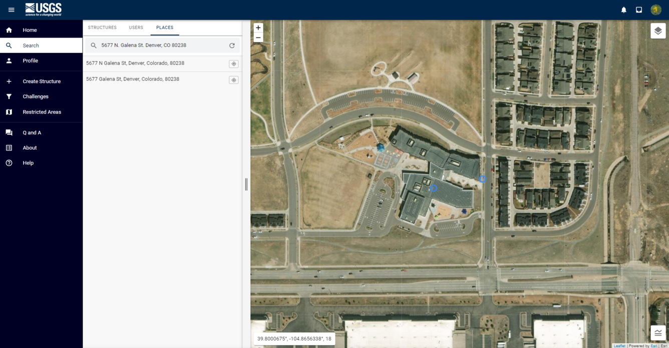
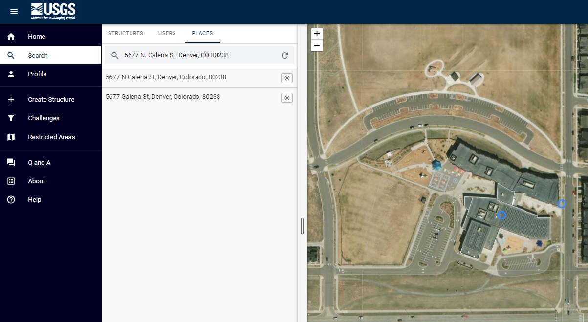
To check if a structure point is missing from the map, first find an authoritative source listing the structure’s name and address (or location if the structure in question does not have a complete physical address, as is the case with many cemeteries). Then, search for the address or set of coordinates in the editor to identify the location of the structure using an aerial imagery base layer:
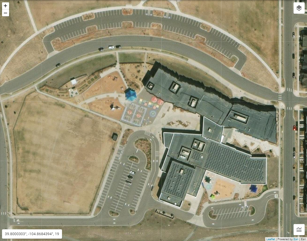
After determining that there is not already a point representing the structure in the editor, determine the exact location of the structure. To do so, you can use additional map sources, aerial imagery, and on-the-ground map views:


REMINDER: We will be utilizing Google Maps™ in our examples, however we do not endorse the use of any particular third-party company or website providing map services. Never take information directly from a commercial mapping service without cross-referencing that information with an authoritative source. Commercial mapping services should ONLY be used to confirm information found on authoritative sources.