


May 5, 2026 — Characterizing volcanic gas emissions during episode 46 of lava fountaining at Kīlauea summit
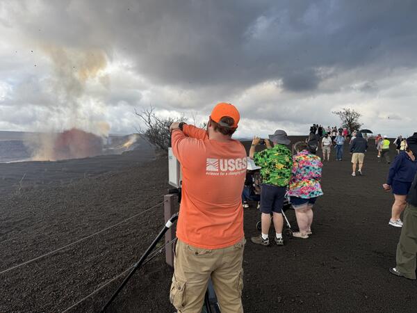
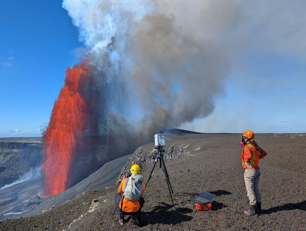
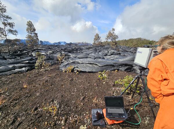
May 5, 2026 — Characterizing volcanic gas emissions during episode 46 of lava fountaining at Kīlauea summitA USGS Hawaiian Volcano Observatory volcanic gas specialist sets up a Fourier Transform Infrared spectrometer, or FTIR, near Kīlauea summit during episode 46 of lava fountaining on May 5, 2026.


")


