
Coastal Observing Cameras at America’s Northernmost Point Decommissioned Due to Coastal Erosion
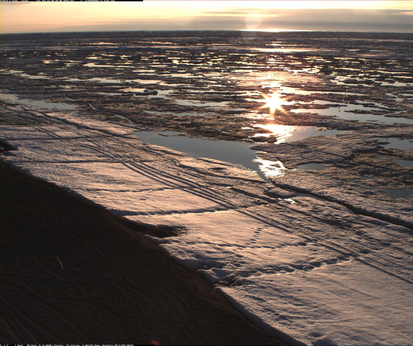
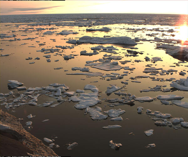
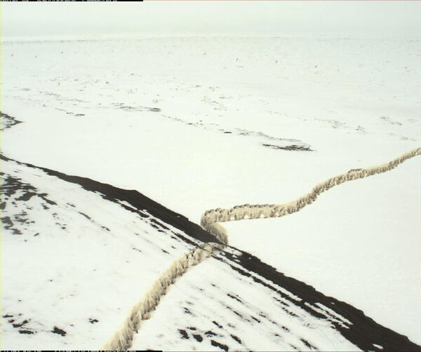
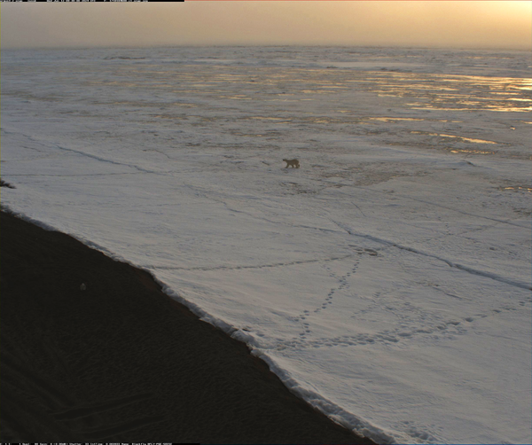
Point Barrow, Alaska, or Nuvuk, is the northernmost point in the United States. Since 2021, USGS has maintained two video cameras here to study sediment movement and wave dynamics along this dynamic coastline. Rapid erosion destabilized the cameras in Fall 2025, and they were taken down.
The pole-mounted cameras point northwest toward the Arctic Ocean and the boundary between the Chukchi and Beaufort Seas. During daylight hours, which can stretch to 24 hours a day in the summer, these cameras observed and quantified coastal processes such as wave run-up, bluff erosion, movement of sandbars and ice floes, and sediment entrainment and transport by ice.
In Fall 2025, Nuvuk’s rapidly eroding shoreline reached the pole, destabilizing the camera set-up. Shortly afterward, the cameras were taken down.

Nuvuk sits at the end of a low-lying barrier spit about 10 miles northeast of the Alaska Community of Utqiaġvik. This region is vulnerable to coastal erosion and marine flooding during large storm events, which are now increasingly impacting the coast during the fall and early winter months.
Other USGS coastal observing cameras operating in Alaska include Shishmaref, Teller, Golovin, and Unalakleet. The knowledge gained from these cameras will improve computer-derived simulations of shoreline change that communities can use to plan for sea-level rise, changing storm patterns, and other threats to coasts in Alaska and elsewhere.
Related

Using Video Imagery to Study Sediment Transport and Wave Dynamics: Nuvuk (Point Barrow)
Related