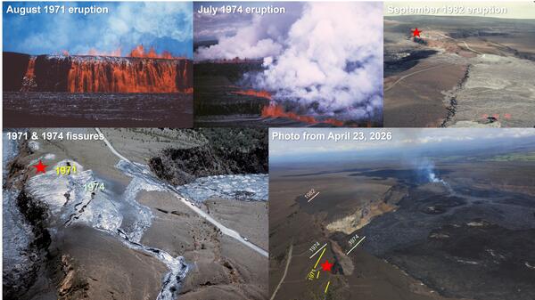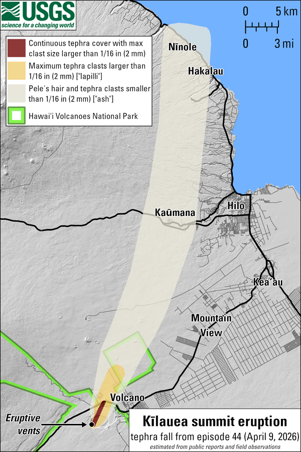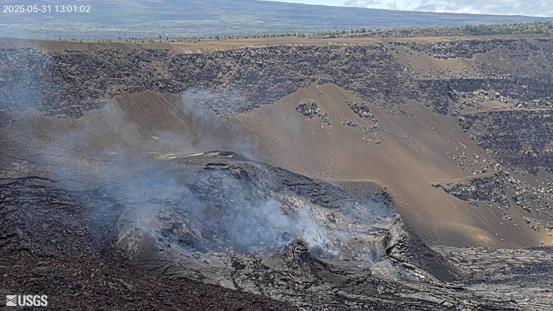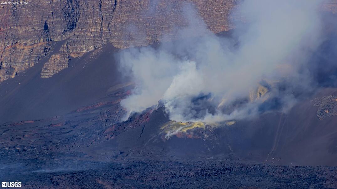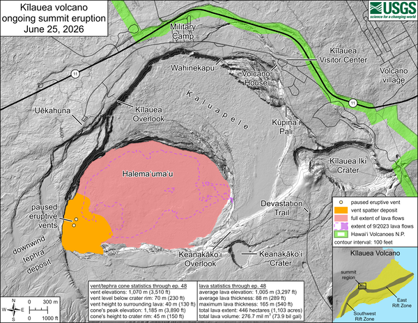
June 25, 2026—Kīlauea summit eruption reference map
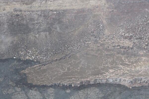
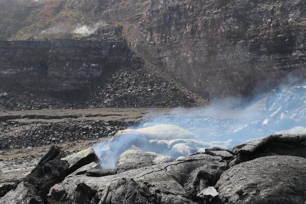
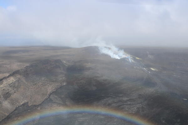
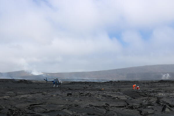
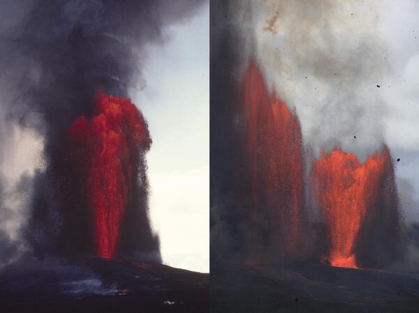
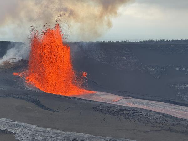
June 25, 2026—Kīlauea summit eruption reference mapThis reference map depicts the Kīlauea summit eruption within Halema‘uma‘u crater that began on December 23, 2024. Most of the data for this map were collected during a Hawaiian Volcano Observatory helicopter overflight on June 9, 2026. As such, the provided statistics are reflective of the first forty-eight episodes of the eruption through June 1, 2026.