
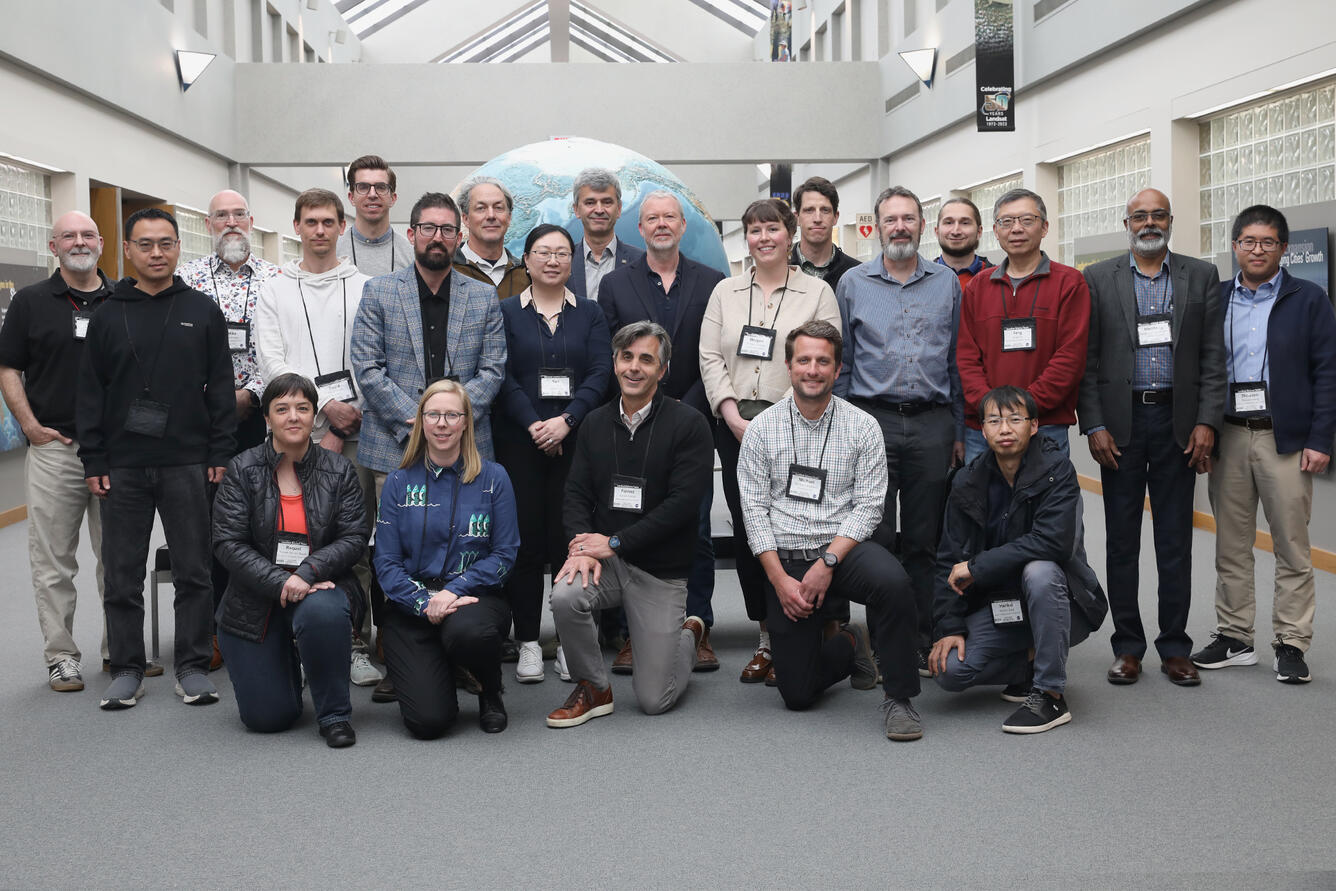
Landsat Science Team Meeting — May 5-7, 2026
The 2026-2030 Landsat Science Team met May 5-7, 2026 at the USGS Earth Resources Observation and Science (EROS) Center for their first in-person meeting.
Return to Landsat Science Team Meetings
Presentations from this meeting will become available on the Landsat Science Team Meeting Presentations webpage 2-4 weeks after the meeting concludes.
Media
Sources/Usage: Public Domain. View Media Details
Meeting Objectives
- Discuss USGS and NASA expectations and priorities for the 2026–2030 Landsat Science Team
- Orient the team to USGS and NASA organizations
- Communicate the status of key Landsat activities
- Provide a venue for team members to present their work
Tuesday, May 5, 2026
- Welcome and Kickoff
- Welcome and Perspective (Ned Mamula, USGS Director)
- Meeting Logistics (Tom Maiersperger, USGS)
- Objectives, Agenda, LST Governance (Terry Sohl, USGS; Chris Neigh, NASA)
- USGS and NASA Program Perspectives (Tim Newman, USGS; Scott Schwinger, NASA)
- EROS Overview (Tom Sohre, USGS)
- Landsat Science Team Introductions
- Status Updates and LST Perspectives
- Landsat 10 Project Overview and Status (Brian Sauer, USGS; Ross Henry, NASA)
- ESA/Sentinel-2 Status Update (Ferran Gascon, ESA)
- Harmonized Landsat/Sentinel-2 Status Update (Chris Neigh, NASA)
- LST Perspectives - Returning Team (David Roy, Mike Wulder, Martha Anderson, Fen Gao, Peter Strobl)
- Landsat Operations Overview and Status
- Landsat Global Archive Consolidation (LGAC) Status (Todd Taylor, KBR / USGS)
- Landsat 8/ Landsat 9 Operations Status (Joe Blahovec, USGS)
- DPAS Operations Status (Jeff Hess, USGS)
- Landsat Metrics (Tom Maiersperger, USGS)
- Funded Team Member Presentations
- Next generation snow cover mapping and establishment of a long-term ground validation site (Ned Bair, Leidos)
- Fully probabilistic atmospheric correction for Landsat (Nimrod Carmon, UCLA)
- Developing non-photosynthetic vegetation cover capabilities for Landsat (Phillip Dennison, University of Utah)
- Inland and coastal water quality monitoring from the Landsat Program: Harmful algal blooms (Ryan O’Shea, SSAI)
- Improving Landsat evapotranspiration and albedo using multi-satellite observations (Yun Yang, Cornell University)
- Pathfinding global analysis ready consistent reflectance from the Landsat MSS to the next era (David Roy, Michigan State University)
Wednesday May 6, 2026
- International Team Member Presentations
- Advancing fire monitoring with Landsat and Canada’s WildFireSat (Morgan Crowley, Canadian Forest Service)
- Towards a harmonized atmospheric correction for EnMAP, CHIME, and Landsat (Raquel De Los Reyes, The German Aerospace Center)
- Synergistic data processing pipelines for Landsat and European satellite missions (David Frantz, Trier University)
- Stronger together – next generation interoperability for Landsat and Copernicus (Peter Strobl, European Commission )
- Interoperable Landsat Analysis-Ready Surface Reflectance for Operational Monitoring (Medhavy Thankappan, Geoscience Australia)
- From pixels to products to policy: Advancing science and applications with Landsat (Mike Wulder, Canadian Forest Service)
- Science and Applications
- USGS Science Products and Applications Overview (Terry Sohl, USGS)
- Discussion (Terry Sohl, USGS; David Roy, MSU)
- Landsat Collection 3 Plans
- Collection 3 Overview (Chris Crawford, USGS)
- Spatial Structure (Tom Maiersperger, UGS; Cody Anderson, USGS)
- Level-1 (Cody Anderson, USGS)
- Cloud Mask and QA (Danika Wellington, KBR / USGS; Cody Anderson, USGS)
- Level-2 Land Surface Reflectance (Danika Wellington, KBR / USGS)
Thursday May 7, 2026
- Landsat Collection 3 Plans
- Level-2 Aquatic Reflectance (Danika Wellington, KBR / USGS)
- Level-2 Surface Temperature & Emissivity (Saeed Arab, KBR / USGS)
- Auxiliary Data (Saeed Arab, KBR / USGS)
- Federal Team Member Presentations
- Maintenance and Refinement of the LaSRC for Landsat and Sentinel 2 (Eric Vermote, NASA)
- Detecting green vegetation, crop residue, and soil in the context of surface moisture variability (Dean Hively, USGS Lower Mississippi Water Science Center)
- A multi-scale approach to developing information for agricultural management from Landsat (Kyle Knipper, USDA Agriculture Research Service)
- OpenET: Supporting US sustainable water management with Landsat (Forrest Melton, NASA Earth Science Division)
- Tracking Crop Growth and Condition in Near Real-time Using HLS Data (Feng Gao, USDA Agriculture Research Service)
- Characterizing/monitoring active volcanoes and geothermal systems with Landsat (Greg Vaughan, USGS Astrogeology Science Center)
- Community Engagement (Michelle Bouchard, DOI; Terry Sohl, USGS)
- Meeting Wrap-up & Next Steps (Terry Sohl, USGS; Chris Neigh, NASA)
Related
New Landsat Science Team Announced New Landsat Science Team Announced
The U.S. Geological Survey, in cooperation with NASA, has named the new Landsat Science Team that will support the world’s longest-running Earth observation mission for a planned 2026-2030 term.
Related
New Landsat Science Team Announced New Landsat Science Team Announced
The U.S. Geological Survey, in cooperation with NASA, has named the new Landsat Science Team that will support the world’s longest-running Earth observation mission for a planned 2026-2030 term.