



Latest in Landsat July 2026 - Vol. 5 | Issue 7
2025 Land Change Data Now Available
Annual NLCD Collection Expands
U.S. Geological Survey Releases Newest Data in America's Annual National Land Cover Database (NLCD)
The Annual NLCD includes 41 years of land use, land cover change, and land condition information for the conterminous United States. The authoritative database—built on decades of Landsat satellite imagery—provides year-by-year land change information and science products used by land and natural resource managers.
Learn about the newest collection and see what 2025 land changes have occurred in your area by clicking on the article below.
-
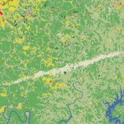
Annual NLCD Collection 1.2 Now Available Annual NLCD Collection 1.2 Now Available
The U.S. Geological Survey (USGS) is excited to announce the release of the Annual National Land Cover Database (NLCD) Conterminous U.S. (CU), Collection 1.2. This release builds on the popular Annual NLCD CU Collection 1.0 by extending the dataset through 2025.
New "Landsat Portrait of America" Honors 250 Anniversary
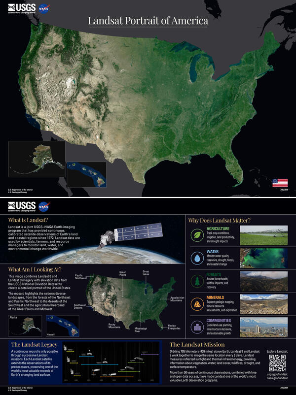
As we celebrate 250 years as a nation, we welcome you to visit the Landsat Portrait of America, a newly created mosaic using Landsat 8 and Landsat 9 imagery.
Billions of pixels from Landsat 8 and Landsat 9 images were analyzed and compiled to create this mosaic. Cloud-free observations collected during the growing season were compared, and the pixel that best represented typical conditions was selected to be included in the mosaic. The resulting image was then draped over elevation data to add depth and contrast.
The backside describes Landsat - and why Landsat is so important to the United States.
Visit this page to see a larger version of the image - and download the pdf file to print it out for your use.
To delve deeper into each of the United States, visit the webpage listed below - and access a gallery of stunning Landsat satellite mosaics that highlight and reveal the distinct landscapes of each State (as well and Puerto Rico, Guam, and the U.S. Virgin Islands).
Each State mosaic displays the agricultural fields, water bodies, urban areas, forests, or shorelines that together shape the United States - and supports the importance of continued Earth Observation for landscape change, monitoring and research.
Also, be sure to download an informative USGS factsheet to learn more how Landsat imagery benefits each State, and have fun putting together an online jigsaw puzzle!
-
Landsat's View of the USA Landsat's View of the USA
How does your state use Landsat satellite data? Find out here! For each state, you can download a satellite image, put together an online puzzle, or read a USGS Fact Sheet that contains information about the benefits of Landsat.
Landsat Special Requests Webinar Recording Now Available
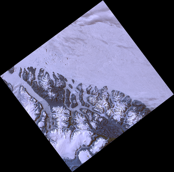
Landsat Special Requests: What are they? This webinar tells all!
The USGS EROS Center User Services group recently hosted a webinar titled “Landsat Special Requests: Expanding Acquisition Capabilities” and showcased how Landsat 8 and 9 can serve specialized imaging needs beyond their standard acquisition schedules.
If you missed the live webinar, be sure to check out the recording to learn how Landsat Special Requests offer scientists and researchers a way to request non-routine observations such as:
- Nighttime urban heat mapping, for tracking heat island dynamics
- High-latitude and polar ice extent imaging, essential for environmental studies
- Emergency or event-driven captures, when standard passes don’t suffice
During the webinar, attendees got to see real-world applications—highlighting thermal scans of cities at night and imagery of polar regions. A complete walkthrough of submitting a request.
Access Landsat Special Requests Webinar Recording
Using Landsat Bulk Metadata Parquet Files
Landsat Bulk Metadata information is now available in Apache Parquet file format, in addition to the existing CSV and XML files. Parquet files are designed to make large datasets easier and faster to use and offer benefits over the existing XML and CSV files; smaller file sizes, faster queries, they are compatible with big data tools, and can be updated with new information without interrupting established processing flows.
Check out the information below to become familiar with Parquet Bulk Metadata files.
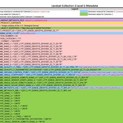
What are Landsat Bulk Metadata Parquet Files?
The Landsat Bulk Metadata Service is comprised of files that list all available Landsat Level-1, Level-2, and U.S. Analysis Ready Data products contained in the USGS EROS archive. The files include millions of records from more than 53 years of data and are updated daily. Since the files contain so much information, they can be very large. This can make them difficult to open or work with using...
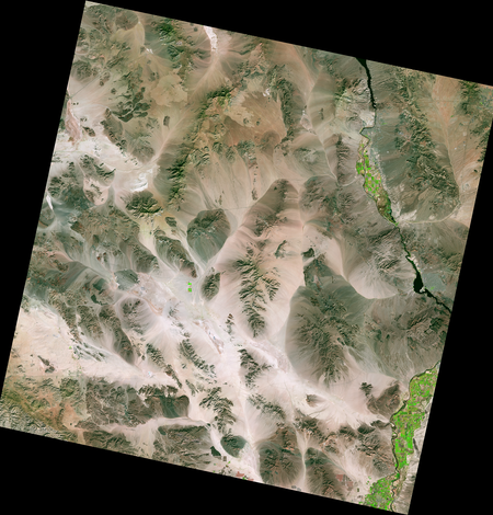
Bulk Metadata Service
The files on this page contain the complete metadata records for the Landsat Collection 2 Level-1, Landsat Collection 2 Level-2, and U.S. Analysis Ready Data datasets. The files are updated daily.
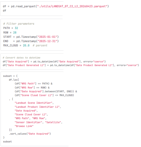
Using the Landsat Bulk Metadata Parquet Files
Learn how to work with the Landsat Bulk metadata parquet files to detect added, updated, and reprocessed scenes across file versions.
Got Questions? We’ve Got Answers!
-

Connect Connect
Explore the Landsat social media channels, discover the latest news and resources, and find answers to your questions about Landsat Missions, science products, and data access. We are here to help you stay informed!
-

Landsat Missions Landsat Missions
Since 1972, the joint NASA/ U.S. Geological Survey Landsat series of Earth Observation satellites have continuously acquired images of the Earth’s land surface, providing uninterrupted data to help land managers and policymakers make informed decisions about natural resources and the environment.
Landsat is a part of the USGS National Land Imaging (NLI) Program.
-

Landsat Frequently Asked Questions Landsat Frequently Asked Questions
This page lists commonly asked questions pertaining to the Landsat satellite missions, the science behind maintaining high quality Landsat data, and what products are available - and how to download them.
-
EROS User Services
Your trusted resource for USGS EROS data and tools. As the primary contact point for the USGS Earth Resources Observation and Science (EROS) center, we help thousands of users each year access and understand our vast archive of remotely sensed imagery and science products.
Stay informed with the Latest in Landsat Newsletter
Direct to your inbox! Landsat's monthly newsletter features current news, uses, tools, and announcements about America's Earth-observing satellite program.
Subscribe to receive Latest in Landsat Newsletters
-

Latest in Landsat Newsletter Latest in Landsat Newsletter
Learn about the Latest in Landsat! This monthly newsletter highlights current news, uses, tools, and announcements about the Landsat suite of Earth-observing satellites and the data collected from them.