


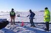
Group of USGS employees and Cooperators gathered at AEM survey in southwest Wisconsin 2022
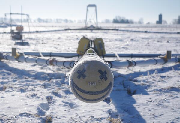
Group of USGS employees and Cooperators gathered at AEM survey in southwest Wisconsin 2022Research geophysicist Burke Minsley discussing aerial electromagnetic (AEM) survey equipment with group of USGS employees and Cooperators at AEM survey in southwest Wisconsin 2022. In March 2022, a helicopter carried an airborne electromagnetic induction sensor over parts of southeast and southwest Wisconsin as part of a USGS study to map the aquifers in t


