Milwaukee Harbor and Discovery World on an early autumn day
Milwaukee Harbor and Discovery World on an early autumn dayMilwaukee Harbor in foreground with Discovery World building featured, on an early autumn day.
An official website of the United States government
Here's how you know
Official websites use .gov
A .gov website belongs to an official government organization in the United States.
Secure .gov websites use HTTPS
A lock () or https:// means you’ve safely connected to the .gov website. Share sensitive information only on official, secure websites.
Jamie Velkoverh is an Information Specialist with the Upper Midwest Water Science Center.
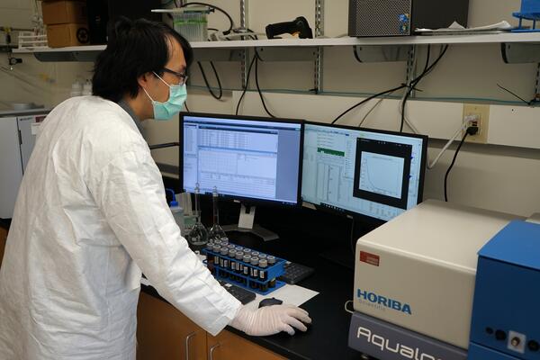
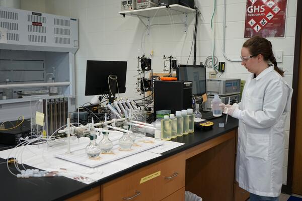
Jamie started her USGS career as a graduate student in 2007, working with the Minnesota Water Science Center conducting research for her master's thesis on the role of calcium in sorption of the herbicide glyphosate to agricultural soil, and implications for subsurface transport in Iowa. After graduating, she continued with the Minnesota Water Science Center as a laboratory chemist, conducting Enzyme-Linked Immunosorbent Assay (ELISA) analyses of agricultural groundwater samples in Minnesota.
After her early experience with the USGS, she worked in the private sector as an environmental engineering consultant in Phoenix, Arizona. Her projects ranged from indoor air quality analyses to water quality studies to health and safety compliance. After utilizing geographic information systems (GIS) technology on-the-job for multiple projects, she pursued a second graduate degree in GIS technology.
Jamie returned to the USGS in 2015 and worked with the Web Informatics and Mapping (WIM) team as a GIS Specialist. She was instrumental in developing and documenting the use of interactive spatial and story-telling web applications, “geonarratives”, as a new and innovative science communication tool to be utilized by the USGS. In the spring of 2016, she was a co-presenter at the plenary session of the ESRI Federal GIS conference, demonstrating the successful use of geonarratives within the USGS. Jamie worked for WIM on various GIS projects through 2020.
Jamie is now an Information Specialist for the Upper Midwest Water Science Center (UMid), managing the web presence of UMid, conducting outreach efforts, managing social media and continuing to work on GIS projects.
M.S. University of Arizona - Geographic Information Systems Technology, 2014
M.S. University of Minnesota - Twin Cities, Civil and Environmental Engineering, 2009
B.S. St. Norbert College - Chemistry, 2006
Macquarie University, Sydney Australia, 2005 (undergraduate research semester abroad with the Chemical Ecology and Atmospheric Chemistry Group)
2024 Shoemaker Awards for Communications Product Excellence - Social Media - Gage Greatness 2023
USGS Group Safety and Occupational Health Award of Excellence, FY 2021. Recognized for supporting the Safety Program Risk Mapper Development Team as a programmer for the Midcontinent Region.
**Disclaimer: The views expressed in Non-USGS publications are those of the author and do not represent the views of the USGS, Department of the Interior, or the U.S. Government.
Milwaukee Harbor in foreground with Discovery World building featured, on an early autumn day.
A Hydrologic Imagery Visualization and Information System (HIVIS) camera in Eau Claire, Wisconsin, at Grand Avenue overlooking the Chippewa River.
A small flock of brown and golden laying hens (chickens), on a farm in the Upper Midwest.
Upper Midwest Water Science Center employees at the Forest Products Laboratory in Madison, Wisconsin during the 2023 UMid face-to-face meeting.
A Hydrologic Imagery Visualization and Information System (HIVIS) camera in Eau Claire, Wisconsin, at Grand Avenue overlooking the Chippewa River.
Streamgage 04043050 on the bank of the Trap Rock River near Lake Linden, Michigan in the Keweenaw Peninsula.
Equipment at streamgage 04043050 on the bank of the Trap Rock River near Lake Linden, Michigan in the Keweenaw Peninsula.
Stones on Lake Superior beach at Great Sand Bay in the Keweenaw Peninsula, Michigan
A piece of blue plastic fishing twine on Great Sand Bay beach on Lake Superior in the Keweenaw Peninsula, Michigan.
Amygdaloidal basalt rock on Great Sand Bay beach on Lake Superior in Keweenaw Peninsula, Michigan.
Streamgage 04060993 overlooks the Brule River at highway 2 near Florence, Wisconsin on an overcast day in June.
USGS scientist analyzing surface water samples for dissolved organic carbon concentration and characterization.
Horiba XploRA Raman spectrometer used for the characterization of microplastics in environmental samples.
USGS scientist weighing out a sediment sample from a glass sample bottle onto laboratory analytical balance for mercury analysis.
USGS scientist rinsing white plastic Teflon sample bottle with deionized water in a laboratory.
USGS scientist preparing a sample for metal analysis. A close up view of gloved hand pouring water sample from Teflon plastic tube to amber glass sample bottle.
Water distillation equipment for methylmercury analysis in a mercury research laboratory.