Measuring Bank Erosion along Accotink Creek
Detailed Description
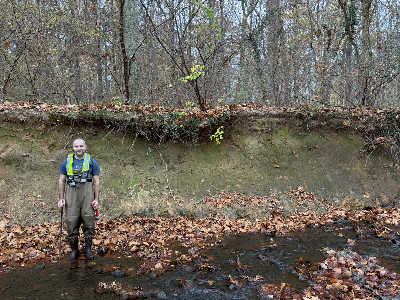
Accotink Creek is an urban stream in Fairfax County, Virginia. Like many urban streams, its banks are heavily eroded, and that eroded sediment is transported downstream. This impacts downstream water quality and contributes to lake sedimentation in Lake Accotink.
USGS scientists are studying changes in the channel shape of Accotink Creek and identifying which regions of the stream are eroding and which regions may be trapping sediment.
Sources/Usage
Public Domain.
Related
Fairfax County Water Resources Monitoring Network
Filter Total Items: 54
Stormflow at Old courthouse spring branch in Fairfax County, Virginia
Difficult Run monitoring station in Great Falls, VA
Measuring water quality parameters at Accotink Creek
Rabbit Branch Stream (pre-restoration), Fairfax County
USGS hydrologic technician preparing a sonde for deployment
USGS Precipitation Gage at Franklin Middle School in Fairfax County
USGS Precipitation Gage at Churchill Road Park in Fairfax County
Measuring sediment deposition in a floodplain using soil cores
USGS scientist takes water sample from a Fairfax County stream
Floodplain Monitoring Site in the Long Branch Watershed, Fairfax, Virginia