


Eyes on Earth Episode 57 – Landsat and the Great Lakes
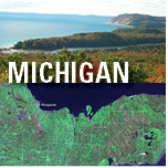
Eyes on Earth Episode 57 – Landsat and the Great LakesThe Great Lakes represent roughly 20% of the surface freshwater in the world and 90% in the United States. The Great Lakes Basin supports more than 30 million people in the U.S. and Canada and 3,500 plant and animal species. The region faces threats that range from climate change and invasive species to pollution and development.