
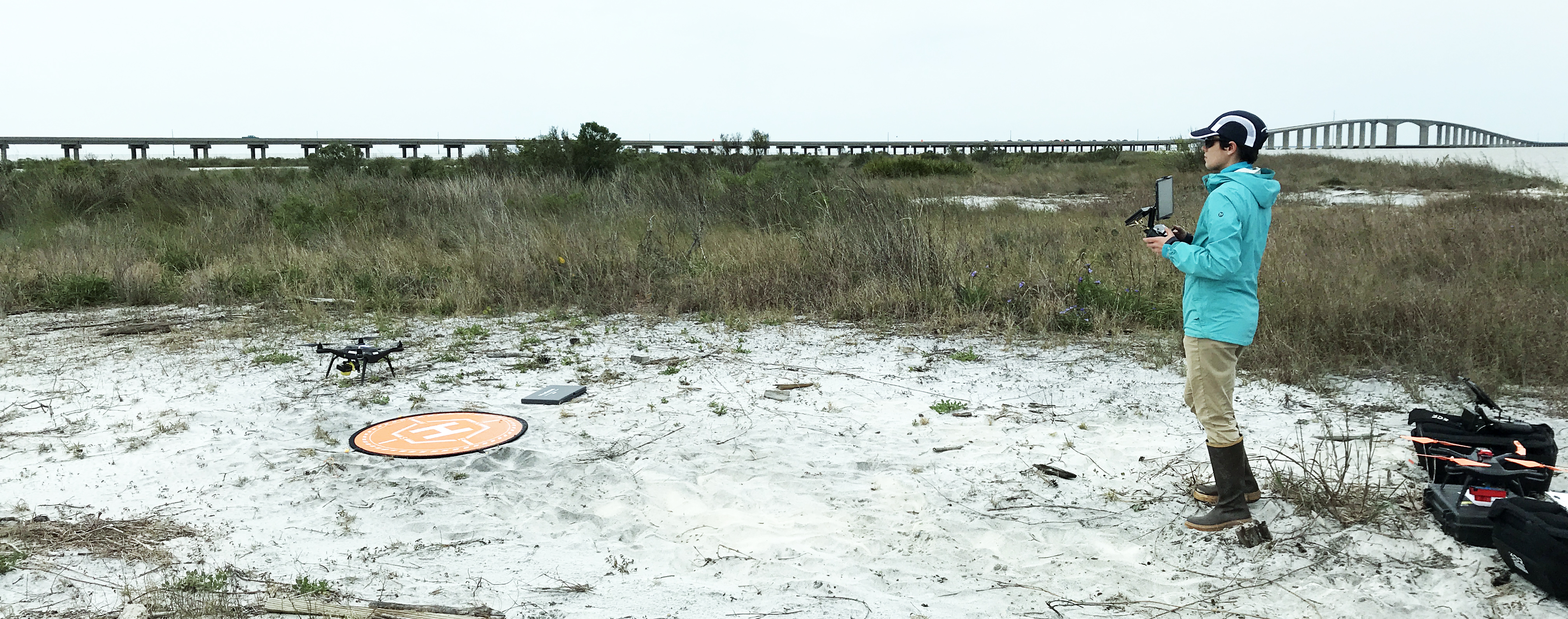
USGS pilot landing an unmanned aerial system on Dauphin Island, AL

Detailed Description
USGS unmanned aerial system (drone) pilot collecting aerial imagery and ground control points for the Coastal Resource Evaulation for Management Applications (CREMA) project on Dauphin Island, Alabama
Sources/Usage
Public Domain.
Related

Coastal Change Hazards - Research
The Research component of the Coastal Change Hazards (CCH) program focus conducts basic and applied research that is important for understanding the Nation’s dynamic coasts and increasing the resiliency of resources and lives along these coasts. Research is conducted through a variety of projects across the three Coastal and Marine Science Centers: Woods Hole, Massachusetts; St. Petersburg...
Related
Coastal Change Hazards - Research
The Research component of the Coastal Change Hazards (CCH) program focus conducts basic and applied research that is important for understanding the Nation’s dynamic coasts and increasing the resiliency of resources and lives along these coasts. Research is conducted through a variety of projects across the three Coastal and Marine Science Centers: Woods Hole, Massachusetts; St. Petersburg...