
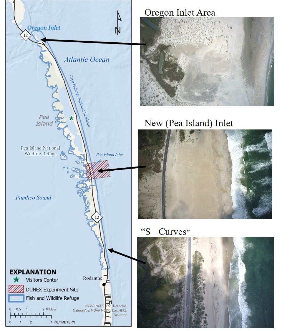
Vulnerable Areas on Pea Island
Detailed Description
A map and aerial imagery of Pea Island's most vulnerable sections: The south side of Oregon Inlet, New Inlet (also called Pea Island Inlet on some maps), and the "S-Curves" just north of Rodanthe are shown in detail. Aerial imagery is from a USGS flight on 2021-09-28
Sources/Usage
Public Domain.
Related

DUNEX Pea Island Experiment
The DUring Nearshore Event eXperiment (DUNEX) is an aggregation of multiple scientific organizations collaborating to increase understanding of nearshore processes. The U.S. Geological Survey (USGS) has chosen Pea Island National Wildlife Refuge as a study location to investigate and characterize the magnitude and timing of changes to coastal morphology (i.e., dunes, shorelines), bathymetry, and...
Related
DUNEX Pea Island Experiment
The DUring Nearshore Event eXperiment (DUNEX) is an aggregation of multiple scientific organizations collaborating to increase understanding of nearshore processes. The U.S. Geological Survey (USGS) has chosen Pea Island National Wildlife Refuge as a study location to investigate and characterize the magnitude and timing of changes to coastal morphology (i.e., dunes, shorelines), bathymetry, and...