Overflight confirms weak ocean entry, in Kīlauea's LERZ
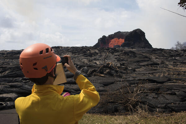
Overflight confirms weak ocean entry, in Kīlauea's LERZScientists on the early morning overflight of Kīlauea Volcano's lower East Rift Zone documented a very weak ocean entry. For the easternmost lobe, only a few small finger channels of lava were entering the ocean.