
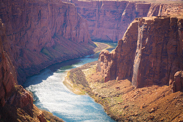
View of Colorado River in the Grand Canyon from overlook. Photo by Jordan Bush, ORISE participant, National USGS CASC.
Multimedia
Multimedia intro.
Images
Colorado River in the Grand Canyon
View of Colorado River in the Grand Canyon from overlook. Photo by Jordan Bush, ORISE participant, National USGS CASC.

Repeat photography matching in action
An example of repeat photography in action - A researcher, Jim Malusa of the University of Arizona School of Natural Resources and the Environment, holds a clipboard with a historic photograph captured right at the spot where the image was originally taken in the 1900s, with the same mountain landscape in view.
An example of repeat photography in action - A researcher, Jim Malusa of the University of Arizona School of Natural Resources and the Environment, holds a clipboard with a historic photograph captured right at the spot where the image was originally taken in the 1900s, with the same mountain landscape in view.

Repeat color photograph taken in 2011 of Glen Canyon Dam, a match to the 1889 Stanton Expedition & 1992 USGS images
Repeat color photograph taken in 2011 of Glen Canyon Dam, a match to the 1889 Stanton Expedition & 1992 USGS imagesA USGS repeat photograph of Glen Canyon Dam taken on April 20, 2011 as a match to the 1889 Franklin Nims image of the site before the dam was built, at Colorado River mile -14.7, during the Stanton Expedition. This view was also matched in 1992 by the USGS. The view is taken upstream from river left.
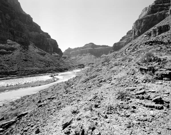
Colorado River, Grand Canyon, River Mile 61.4, Little Colorado River, Downstream View from River Right, 2010
Colorado River, Grand Canyon, River Mile 61.4, Little Colorado River, Downstream View from River Right, 2010September 19, 2010: Colorado River, Grand Canyon, River Mile 61.4, Little Colorado River, Downstream View from River Right. The muddy water of the Little Colorado River can be seen intermixing with the flow of the mainstem Colorado River, which generally runs clear in Marble Canyon due to the sediment-settling that occurs upstream in Lake Powell.
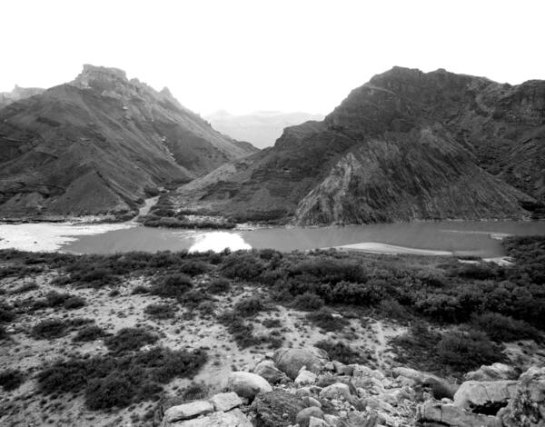
Colorado River, Grand Canyon, River Mile 65.5, Palisades Creek, Across Canyon View from River Left, 2010
Colorado River, Grand Canyon, River Mile 65.5, Palisades Creek, Across Canyon View from River Left, 2010September 19, 2010: Colorado River, Grand Canyon, River Mile 65.5, Palisades Creek, across canyon view from river left. The rapid has not changed in the intervening two decades, and many of the same mesquite thickets are still present on the debris fan in the foreground.