
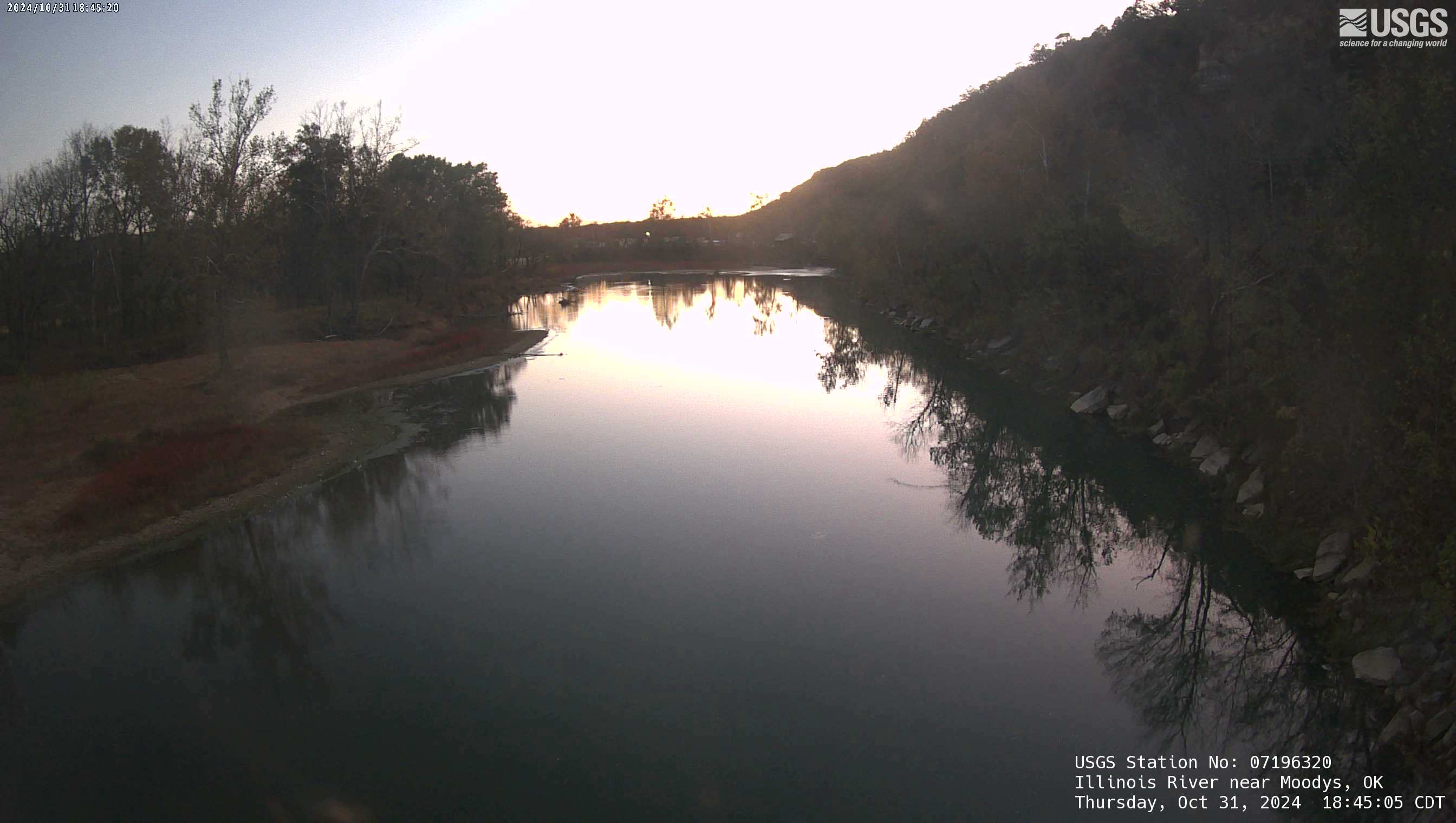
The Illinois River Floatcam is located at USGS station 07196320 on the Illinois River near Moodys, OK (Combs Bridge), about 36 miles downstream from the Arkansas state line.
S. Jerrod Smith
S. Jerrod Smith is a Hydrologist and Groundwater Modeling Specialist for the USGS Oklahoma-Texas Water Science Center. His recent projects simulated groundwater-flow and estimated groundwater availability in alluvial aquifers of Oklahoma.
Science and Products

Groundwater Modeling at the Oklahoma-Texas Water Science Center
The Oklahoma-Texas Water Science Center performs computer simulations using MODFLOW to simulate groundwater/surface-water interaction, quantify groundwater resources, and evaluate the effects of withdrawals on future groundwater supplies for aquifers in Oklahoma and Texas.

Modeling Science in Oklahoma and Texas
Models provide the capability to simulate scenarios of possible future conditions and management options to help water-resource professionals with planning decisions. Groundwater models are commonly used to evaluate changes to the water budget of an aquifer resulting from land-use changes, water withdrawals, and climate, and how these changes affect streamflow, lake levels, water quality, and...

Flood Database for Oklahoma
A web-mapping application for historical flood information organization and access.

Shawnee Twin Lakes Bathymetry
Shawnee Reservoir (locally known as Shawnee Twin Lakes) is a man-made reservoir on South Deer Creek with a drainage area of 32.7 square miles in Pottawatomie County, Oklahoma. The U.S. Geological Survey (USGS), in cooperation with the City of Shawnee, has operated a real-time stage (water-surface elevation) gage (USGS station 07241600) at Shawnee Reservoir since 2006. The purposes of the...

Washita River Reach 3 and 4 Alluvial Aquifer Study
The objectives of this investigation are to describe the hydrogeology, and construct, calibrate, and use a numerical groundwater-flow model to simulate the effects of transient stresses and various pumping and climate scenarios for Reaches 3 and 4 of the Washita River alluvial aquifer.
Groundwater Modeling at the Oklahoma-Texas Water Science Center
The Oklahoma-Texas Water Science Center performs computer simulations using MODFLOW to simulate groundwater/surface-water interaction, quantify groundwater resources, and evaluate the effects of withdrawals on future groundwater supplies for aquifers in Oklahoma and Texas.

North Fork Red River Aquifer Study
In 2012 the U.S. Geological Survey, in cooperation with the OWRB, began an update of the hydrologic investigation and development of a groundwater-flow model for the North Fork Red River alluvial aquifer in Beckham, Greer, Jackson, and Kiowa Counties.

Salt Fork Red River Alluvial Aquifer Study
The objectives of this project are to describe the hydrogeology of the Salt Fork Red River alluvial aquifer and to produce numerical groundwater-flow models that can be used to simulate the transient groundwater-flow system. The Oklahoma Water Resources Board (OWRB) will use the outcomes from this project to determine the MAY and effects of future water extraction and drought. The geographic scope...

Subject-Area Specialists
Please feel free to contact any of our subject-area specialists. Center Director/Surface-water specialist - Jason LewisData Chief - VacantStudies Chief - Matthew VaronkaGeographic Information Systems (GIS) specialist - S. Jerrod SmithGroundwater specialist - Shana MashburnWater-quality specialist - Stephanie BuckWater-use specialist - Carol Becker

Oklahoma DroughtWatch
The U.S. Geological Survey Oklahoma Water Science Center continuously monitors the status of surface water in the State's principal rivers, reservoirs, and aquifers. Selected index stations with long-term continuous record spanning many drought periods are used to compare existing streamflows, reservoir storage, and ground-water levels with normal and extreme recorded values. These comparisons...

Oklahoma StreamStats
The U.S. Geological Survey (USGS) periodically publishes streamflow statistics, such as flood-frequency, flow-duration, and mean annual streamflow statistics, for gaged sites with long-term record. Regionalized regression methods recently have been developed for estimating many of these streamflow statistics at ungaged sites as a function of measured physical and climatic drainage basin...

Aquifer Characteristics of Selected Aquifers in Oklahoma
Digital geospatial data sets of aquifer characteristics have been produced from existing, published paper reports for major aquifers in Oklahoma. The aquifer characteristics compiled include hydraulic conductivity, recharge, water-level elevation, and aquifer boundaries. The individual aquifer characteristic data sets are designed especially for use with Geographic Information Systems (GIS) for...
Illinois River near Moodys, OK
The Illinois River Floatcam is located at USGS station 07196320 on the Illinois River near Moodys, OK (Combs Bridge), about 36 miles downstream from the Arkansas state line.
Science and Products
Groundwater Modeling at the Oklahoma-Texas Water Science Center
The Oklahoma-Texas Water Science Center performs computer simulations using MODFLOW to simulate groundwater/surface-water interaction, quantify groundwater resources, and evaluate the effects of withdrawals on future groundwater supplies for aquifers in Oklahoma and Texas.
Modeling Science in Oklahoma and Texas
Models provide the capability to simulate scenarios of possible future conditions and management options to help water-resource professionals with planning decisions. Groundwater models are commonly used to evaluate changes to the water budget of an aquifer resulting from land-use changes, water withdrawals, and climate, and how these changes affect streamflow, lake levels, water quality, and...
Flood Database for Oklahoma
A web-mapping application for historical flood information organization and access.
Shawnee Twin Lakes Bathymetry
Shawnee Reservoir (locally known as Shawnee Twin Lakes) is a man-made reservoir on South Deer Creek with a drainage area of 32.7 square miles in Pottawatomie County, Oklahoma. The U.S. Geological Survey (USGS), in cooperation with the City of Shawnee, has operated a real-time stage (water-surface elevation) gage (USGS station 07241600) at Shawnee Reservoir since 2006. The purposes of the...
Washita River Reach 3 and 4 Alluvial Aquifer Study
The objectives of this investigation are to describe the hydrogeology, and construct, calibrate, and use a numerical groundwater-flow model to simulate the effects of transient stresses and various pumping and climate scenarios for Reaches 3 and 4 of the Washita River alluvial aquifer.
Groundwater Modeling at the Oklahoma-Texas Water Science Center
The Oklahoma-Texas Water Science Center performs computer simulations using MODFLOW to simulate groundwater/surface-water interaction, quantify groundwater resources, and evaluate the effects of withdrawals on future groundwater supplies for aquifers in Oklahoma and Texas.
North Fork Red River Aquifer Study
In 2012 the U.S. Geological Survey, in cooperation with the OWRB, began an update of the hydrologic investigation and development of a groundwater-flow model for the North Fork Red River alluvial aquifer in Beckham, Greer, Jackson, and Kiowa Counties.
Salt Fork Red River Alluvial Aquifer Study
The objectives of this project are to describe the hydrogeology of the Salt Fork Red River alluvial aquifer and to produce numerical groundwater-flow models that can be used to simulate the transient groundwater-flow system. The Oklahoma Water Resources Board (OWRB) will use the outcomes from this project to determine the MAY and effects of future water extraction and drought. The geographic scope...
Subject-Area Specialists
Please feel free to contact any of our subject-area specialists. Center Director/Surface-water specialist - Jason LewisData Chief - VacantStudies Chief - Matthew VaronkaGeographic Information Systems (GIS) specialist - S. Jerrod SmithGroundwater specialist - Shana MashburnWater-quality specialist - Stephanie BuckWater-use specialist - Carol Becker
Oklahoma DroughtWatch
The U.S. Geological Survey Oklahoma Water Science Center continuously monitors the status of surface water in the State's principal rivers, reservoirs, and aquifers. Selected index stations with long-term continuous record spanning many drought periods are used to compare existing streamflows, reservoir storage, and ground-water levels with normal and extreme recorded values. These comparisons...
Oklahoma StreamStats
The U.S. Geological Survey (USGS) periodically publishes streamflow statistics, such as flood-frequency, flow-duration, and mean annual streamflow statistics, for gaged sites with long-term record. Regionalized regression methods recently have been developed for estimating many of these streamflow statistics at ungaged sites as a function of measured physical and climatic drainage basin...
Aquifer Characteristics of Selected Aquifers in Oklahoma
Digital geospatial data sets of aquifer characteristics have been produced from existing, published paper reports for major aquifers in Oklahoma. The aquifer characteristics compiled include hydraulic conductivity, recharge, water-level elevation, and aquifer boundaries. The individual aquifer characteristic data sets are designed especially for use with Geographic Information Systems (GIS) for...
Illinois River near Moodys, OK
The Illinois River Floatcam is located at USGS station 07196320 on the Illinois River near Moodys, OK (Combs Bridge), about 36 miles downstream from the Arkansas state line.
The Illinois River Floatcam is located at USGS station 07196320 on the Illinois River near Moodys, OK (Combs Bridge), about 36 miles downstream from the Arkansas state line.