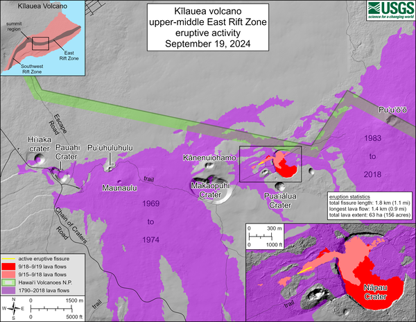
September 20, 2024—Kīlauea middle East Rift Zone recent lava flows
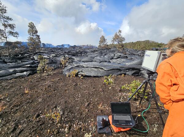
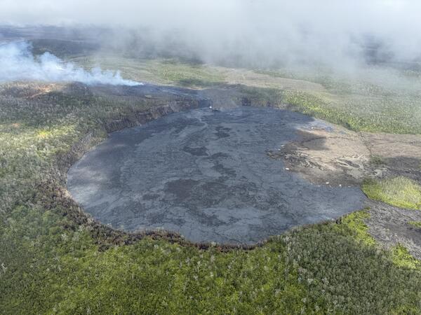
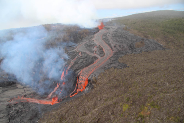
September 20, 2024—Kīlauea middle East Rift Zone recent lava flowsPāhoehoe lava flows paved the floor of Nāpau Crater during the recent eruption on Kīlauea middle East Rift Zone. Pāhoehoe is characterized by smooth, billowy, and ropy surface textures. Recent lava flowed over tephra that previously coated this area of the crater floor.