September 17, 2024 — Annual Kīlauea GPS campaign underway
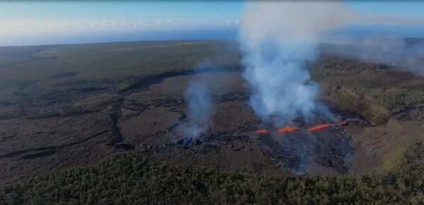
September 17, 2024 — Annual Kīlauea GPS campaign underwayHVO scientists are conducting the annual Kīlauea GPS campaign. During the survey, GPS instruments are deployed at established benchmarks so that their recorded positions can be compared with those from previous years to discern subtle patterns of ground deformation associated with volcanic activity.