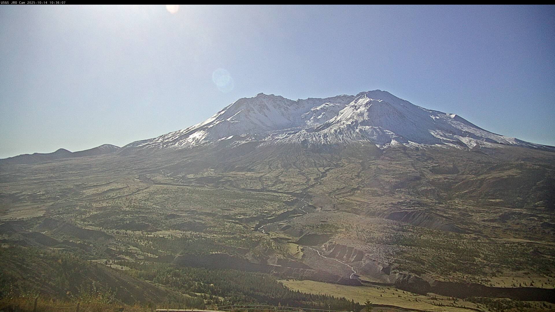
Mount St. Helens
Multimedia
Volcano Hazard Maps: Past, Present, and Future
Throughout most of human existence, we haven't known much about how volcanoes work. Because of their immense power, they have terrified and fascinated us, and remain places of great spiritual importance for many people. The lack of knowledge about volcanoes has sometimes resulted in tragic and deadly disasters. But with the emergence of the science of volcanology and as
Mount St. Helens—Lives Changed, Lessons Learned, Legacies of 1980
How did the May 18, 1980 eruption of Mount St. Helens change peoples’ lives? Carolyn Driedger talks about events that led up to the 1980 eruption and influenced scientists’ response to it, as well as what happened on May 18, and how the eruption changed people's lives and professions. This talk was presented for the Sno-Isle Libraries’ 2021 Whidbey Reads program.
Mount St. Helens Rocked Our World! What we've learned since 1980.
What stories do rocks tell? What techniques do scientists use to study volcanoes? Dr. Heather Wright talks about the May 18, 1980 eruption of Mount St. Helens, provides an overview of volcanoes and how they erupt, and shows why scientists continue to monitor this active volcano, in this presentation to the Sno-Isle Libraries’ 2021 Whidbey Reads program.
Ash cloud simulation for an eruption size of 5/18/1980 Mount St Helens
If Mount St. Helens (Washington) were to have an eruption today the same size as that of May 18, 1980, this model simulation shows the ash cloud reach.
Ash cloud simulation for moderate sized eruption of Mount St. Helens
If Mount St. Helens were to have a moderate sized eruption today (similar to Mount Spurr, Alaska, August 18, 1992), this model shows the ash cloud extent.
Ash cloud simulation for a small eruption of Mount St. Helens
If Mount St. Helens were to have a small eruption today (similar in size to its July 22, 1980 eruption), this simulation shows the ash cloud extent.
30 days fumarole temperature, SNIF monitoring station Mount St. Helens
Past 30 days fumarole temperature data at SNIF monitoring station, Mount St. Helens Washington.
“Science is amazing”: GeoGirls explore Mount St. Helens
During Aug. 4-8, 2019, U.S. Geological Survey women scientists, university researchers and Mount St. Helens Institute staff led 25 middle-school girls from Washington and Oregon in the fifth annual “GeoGirls” outdoor volcano science program at Mount St. Helens, Washington.
Pyroclastic Flow Outcrop on the Pumice Plain at Mount St. Helens
This photo shows an outcrop of pyroclastic flow deposits near Willow Creek on the Pumice Plain at Mount St. Helens. The dramatic lines crossing the outcrop indicate contacts between different layers of pyroclastic flow deposits. Two participants of the 2019 GeoGirls program are shown studying the outcrop, using it to understand the eruptive history of the volcano. GeoGirls
...The GeoGirls Visit a Volcano Monitoring Station at Mount St. Helens
The GeoGirls visit a volcano monitoring station on the east side of Mount St. Helens, finding out how scientists use different monitoring methods (seismic, GPS, tiltmeter) to understand more about the volcano.
GeoGirls 2019 Group Photo
GeoGirls 2019 group photo, with Mount St. Helens in the background.
GeoGirls Hike the Pumice Plain at Mount St. Helens
The GeoGirls hike the Pumice Plain at Mount St. Helens, examining lava outcrops and volcanic sediment.