



WaterMarks Newsletter - Fall 2026
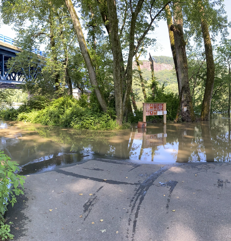
Developing Riverine and Pluvial Flood Hazard Tools for Planning and Mitigation in Massachusetts
The U.S. Geological Survey (USGS), in cooperation with the Massachusetts Executive Office of Energy and Environmental Affairs (EOEEA), is developing a web-based tool to visualize flood data in Massachusetts. Climate projections, including those derived from the Climate and Hydrologic Risk Project, are being incorporated into new and existing flood models in pilot areas distributed across the...
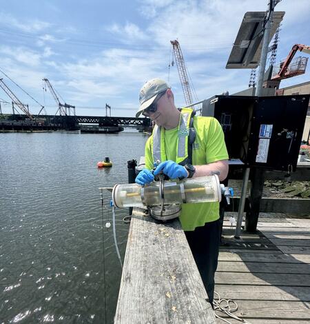
Algal Community Composition within the Lower Norwalk River
Harmful algal blooms (HABs), fish kills, and shellfish contamination are increasingly affecting coastal estuaries like the Norwalk River. Understanding the microscopic algae responsible for these events is essential for protecting public health, local economies, and marine ecosystems. As the environmental conditions of estuaries continue to change from nutrient enrichment, warming temperatures...
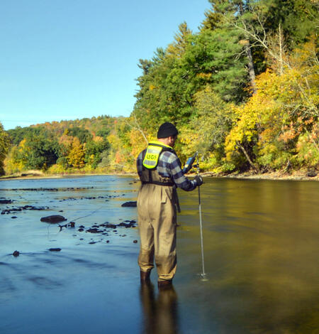
Assessing Sustainable Water Use in Connecticut
The U.S. Geological Survey (USGS) New England Water Science Center, in cooperation with the Connecticut Department of Energy and Environmental Protection (CT DEEP), is updating a planning-level support tool to help decision makers estimate daily mean streamflows and selected streamflow statistics to assess sustainable water use across the state of Connecticut.
A Pristine Headwaters Ecosystem as an Outdoor Laboratory for Foundational Science
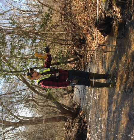
USGS Launches Interactive Streamflow Map Tools
The U.S. Geological Survey New England Water Science Center launched two new web applications that use color to indicate the status of certain water conditions at USGS streamgages. Both web tools are colorful, interactive maps that visually depict whether a gage is above or below typical water levels or within certain state-required baseflow limits.
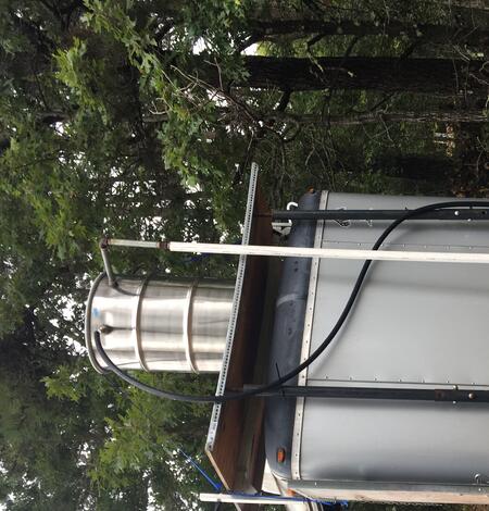
Not All PFAS Are Alike: Fish Responses Reveal The Importance Of Real-World Mixtures
A USGS study demonstrates the importance of monitoring not just the amount of PFAS in groundwater, but the PFAS mixture present. Building on two decades of experience conducting mobile laboratory experiments, USGS researchers applied this approach at a contaminated fire training area to evaluate how fish respond to complex PFAS mixtures, providing important scientific evidence that can improve how...
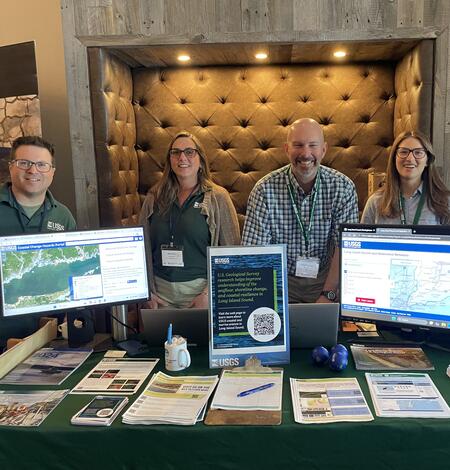
USGS Scientists at the 2026 Long Island Sound Research Conference
The 2026 Long Island Sound Research Conference brings together researchers, managers, academia, and community partners to share the latest science and strengthen collaborations focused on the future of Long Island Sound. This year, the U.S. Geological Survey (USGS) highlighted a range of ocean, coastal, and watershed science needed to better understand the Sound today and prepare for tomorrow.
Related Information
-

New England WSC Products in the Third Quarter of 2026 New England WSC Products in the Third Quarter of 2026
List of products from the New England Water Science Center released in the third quarter of 2026.