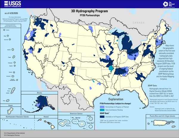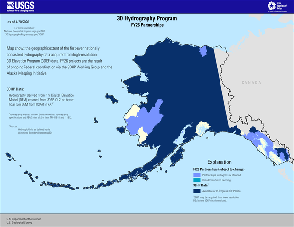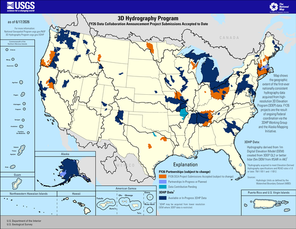
3D Hydrography Program FY26 DCA Project Submissions Accepted to Date
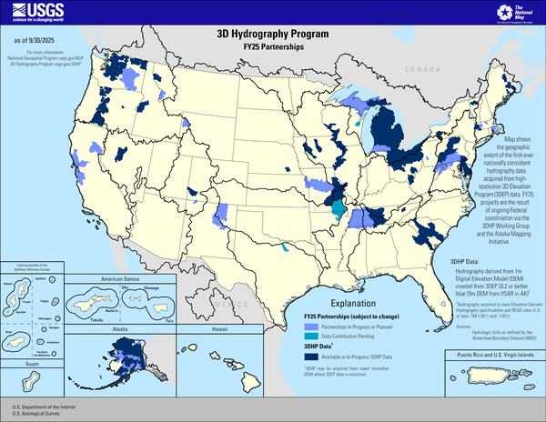
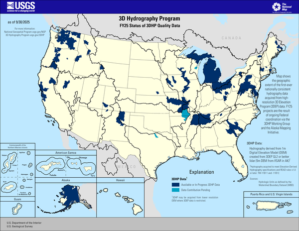
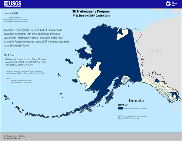
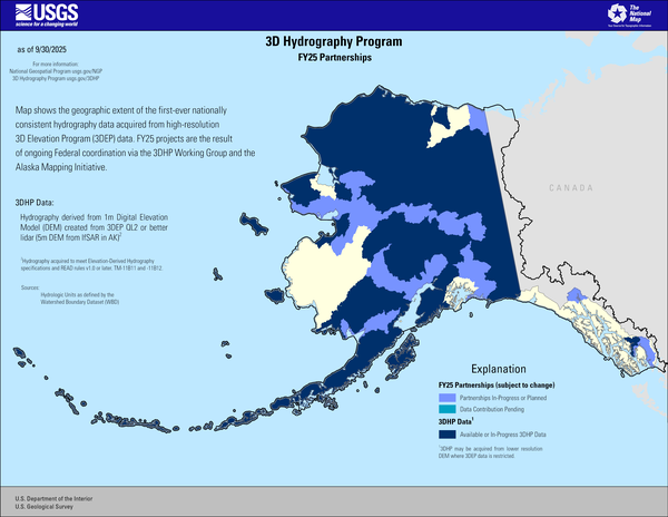
3D Hydrography Program FY26 DCA Project Submissions Accepted to DateThis map of the United States and its territories shows geographic extent of the first-ever nationally consistent hydrography data acquired from high-resolution 3D Elevation Program (3DEP) data. FY26 projects are the result of ongoing Federal coordination via the 3DHP Working Group and the Alaska Mapping Initiative.
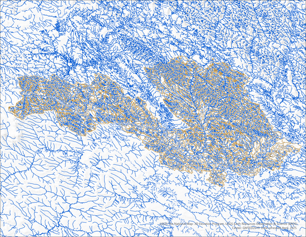
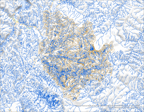
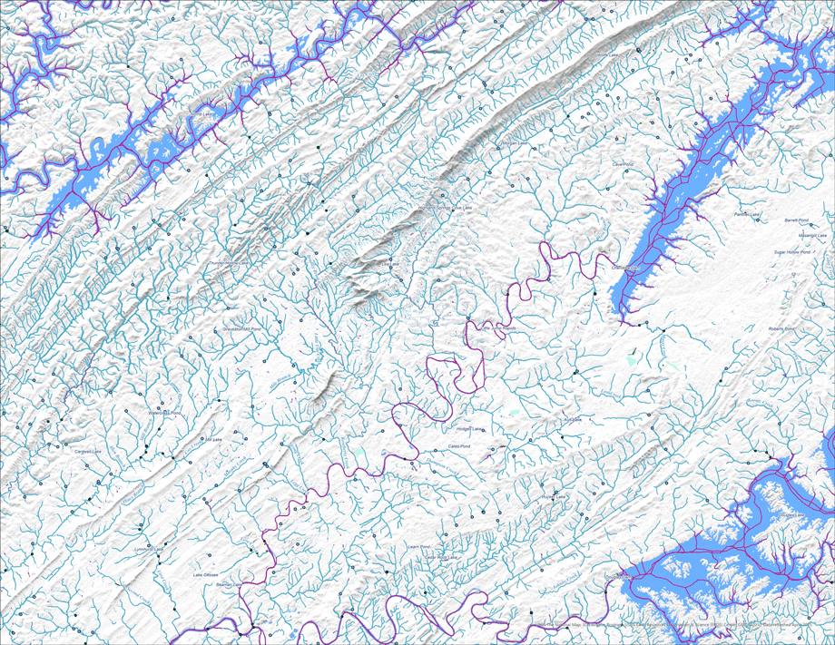
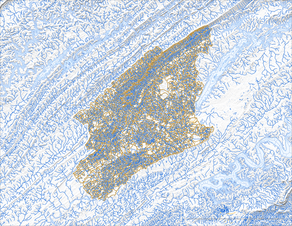
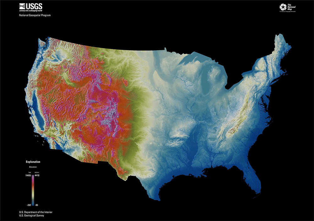
Sources/Usage