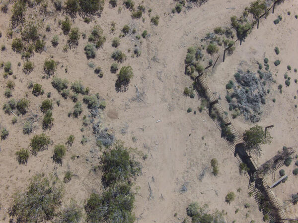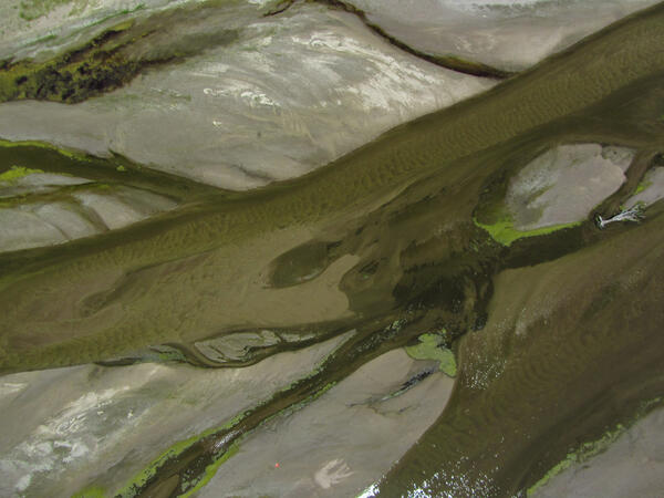
Image of the Platte River taken from a natural color sensor mounted on a UAS
Image of the Platte River taken from a natural color sensor mounted on a UASImage of the Platte River taken from a natural color sensor mounted on a UAS
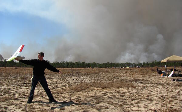
NUSO researchers evaluated use of the T-Hawk UAS equipped with a high-resolution digital camera for mapping the spatial extent and elevation of emergent sandbars along two reaches of the Platte River in July 2013.