U.S. flag

An official website of the United States government

Images

Click through our gallery of photographs showcasing New England Water Science Center research projects and monitoring work throughout the region.

Filter Total Items: 601
Re-established continuous streamgage on Sudbury River at Ashland, Massachusetts
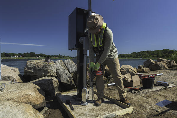
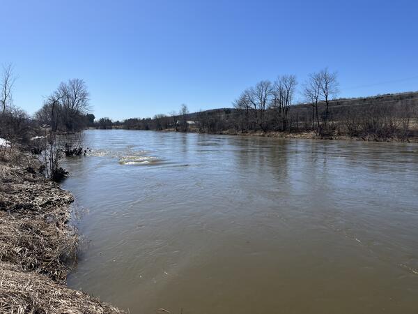
Continuous streamgage on Sudbury River at Ashland, Massachusetts

Re-established continuous streamgage on downstream left bank of Sudbury River at Ashland, MA - 01097480. Gage is located on Front Street.  

Person using drill to install anchor for gage monitor with river in the background.
Nigel Pepin using a rotor hammer to install concrete anchors to secure a new gage to monitor the Poquonnock River

Nigel Pepin using a rotor hammer to install concrete anchors to secure a new gage to monitor the Poquonnock River in Bluff Point State Park, CT.

Summer 2025 Photo Contest Winner: Paul Solis, Honorable Mention category

Technician performs a vertical profile and routine maintenance on continuous water quality monitors on the Norwalk River.
Maintaining continuous water-quality monitors

USGS Hydrologic Technician, Samantha Robinson, preforming a vertical profile and routine maintenance on continuous water quality monitors on the Norwalk River at Maritime Aquarium Near Southern Norwalk, CT (410606073245700) on May 21, 2025. Discrete water quality samples are also collected at this monitoring location. 

USGS Hydrologic Technician, Samantha Robinson, preforming a vertical profile and routine maintenance on continuous water quality monitors on the Norwalk River at Maritime Aquarium Near Southern Norwalk, CT (410606073245700) on May 21, 2025. Discrete water quality samples are also collected at this monitoring location. 

Newly established continuous streamgage downstream right bank on Martha's Vineyard at Tiasquam River at West Tisbury, MA
Continuous streamgage on Tiasquam River at West Tisbury, Massachusetts

Newly established continuous streamgage downstream right bank on Martha's Vineyard at Tiasquam River at West Tisbury, MA - 412238070403701. Gage is located adjacent to State Road in Chilmark, MA. 

Newly established continuous streamgage downstream right bank on Martha's Vineyard at Tiasquam River at West Tisbury, MA - 412238070403701. Gage is located adjacent to State Road in Chilmark, MA. 

Three USGS staff in neon yellow safety vests installing a streamgage on the side of the road.
Installing New Streamgage on Martha's Vineyard

USGS staff installing a new streamgage on the island of Martha's Vineyard in Massachusetts. This streamgage is a part of the state’s cooperative hydrologic monitoring network with USGS. 

USGS staff installing a new streamgage on the island of Martha's Vineyard in Massachusetts. This streamgage is a part of the state’s cooperative hydrologic monitoring network with USGS. 

Tilled field with forest in background
Agricultural Field in Millinocket, Maine

USGS, in cooperation with the U.S. Department of Agriculture and the University of Maine, is predicting the potential hydrological impacts based on these climatic changes using the USGS Precipitation Runoff Modeling System (PRMS) to inform the New England farming industry.

USGS, in cooperation with the U.S. Department of Agriculture and the University of Maine, is predicting the potential hydrological impacts based on these climatic changes using the USGS Precipitation Runoff Modeling System (PRMS) to inform the New England farming industry.

Members of the New England Water Science Center conduct bridge crane training in East Hardford, CT, on April 29, 2025.
Bridge crane training

Members from the Massachusetts office of the New England Water Science Center conduct bridge crane training for water quality at Hockanum Road in East Hartford, CT, April 29, 2029. 

Spring 2025 Photo Contest Winner:  Paul Solis, Where We Work category

Members from the Massachusetts office of the New England Water Science Center conduct bridge crane training for water quality at Hockanum Road in East Hartford, CT, April 29, 2029. 

Spring 2025 Photo Contest Winner:  Paul Solis, Where We Work category

A woman kayaks upstream while towing an orange ADCP behind the kayak.
USGS Hydrologic Technician Tows ADCP behind Kayak on Quinebaug River in Connecticut

USGS hydrologic technician Virginia Stanley is towing an acoustic doppler current profiler (ADCP) behind a kayak on the Quinebaug River in Putnam, Connecticut, to capture streamflow measurements. 

A view of a large river with barren landscape and trees in the background.
Missisquoi River in East Berkshire, Vermont

A view of the Missisquoi River from the perspective of streamgage 04293500 in East Berkshire, Vermont, in March 2025.

A man puts a piece of wood into a metal enclosure.
Putting Together Metal Enclosures for Groundwater Gage

USGS staff outfit the inside of the metal enclosures for groundwater wells. These enclosures contain data loggers, sensor, battery and telemetry equipment that transit the real-time data collected at the well. 

USGS staff outfit the inside of the metal enclosures for groundwater wells. These enclosures contain data loggers, sensor, battery and telemetry equipment that transit the real-time data collected at the well. 

Person in reflective green USGS winter coat standing on frozen river with tool to test ice thickness
Hydrologic Technician Nathan Roy testing ice thickness prior to collecting a water quality sample

Hydrologic Technician Nathan Roy testing ice thickness prior to collecting a water quality sample in West Hartford, VT.

Winter 2025 Photo Contest Winner: Danny Hansen, Honorable Mention category

Collecting groundwater samples from a monitoring well.
Collecting Groundwater Samples on the Pine Grove Peninsula in Niantic, Connecticut

USGS Hydrologist John Mullaney collects groundwater samples from a USGS monitoring well on the Pine Grove peninsula in February 2025.

Hydrologic Technician measuring discharge for nutrient load calculations at Wilbur Hollow Brook near Clayville, RI
Measuring discharge at Wilbur Hollow Brook, Rhode Island

Hydrologic technician measuring discharge for nutrient load calculations at Wilbur Hollow Brook near Clayville, RI.

A streamgage in a wintery scene
St. John River at Ninemile Bridge, Maine

Streamgage 01010000 on the St. John River at Ninemile Bridge in Maine. This monitoring location is very remote; it was established in 1950.

Streamgage 01010000 on the St. John River at Ninemile Bridge in Maine. This monitoring location is very remote; it was established in 1950.

A man in a neon yellow jacket on an orange kayak in a river holding a paddle.
Hydrologic Technician Positions an ADCP over a Water Quality Sensor

USGS hydrologic technician Ryan Botoroff anchored a kayak to position the attached acoustic doppler current profiler (ADCP) over a water quality sensor on the bottom of the Farm River installed to measure water velocity.

USGS hydrologic technician Ryan Botoroff anchored a kayak to position the attached acoustic doppler current profiler (ADCP) over a water quality sensor on the bottom of the Farm River installed to measure water velocity.

Two people sitting in boat in center of river with bridge in background
National Water Quality Network (NWQN) discrete water quality sample collection, Connecticut River

National Water Quality Network (NWQN) discrete water quality sample collection. Paul Solis (Left) Samantha Robinson (Right) driving to location on boat on the Connecticut River near Thompsonville, Connecticut.

Winter 2025 Photo Contest Winner: Allen Lyon, Honorable Mention

National Water Quality Network (NWQN) discrete water quality sample collection. Paul Solis (Left) Samantha Robinson (Right) driving to location on boat on the Connecticut River near Thompsonville, Connecticut.

Winter 2025 Photo Contest Winner: Allen Lyon, Honorable Mention

A man gives a presentation at a podium with a map of Cape Cod on a monitor.
Physical Scientist Presents Research at AGU24

Physical Scientist Andrew Collins, of the USGS New England Water Science Center, presents his research on PFAS contamination in coastal kettle lake and bog systems at AGU24. Collins uses multiscale groundwater-flow modeling to see how flow paths influence the distribution of PFAS contaminants. 


Physical Scientist Andrew Collins, of the USGS New England Water Science Center, presents his research on PFAS contamination in coastal kettle lake and bog systems at AGU24. Collins uses multiscale groundwater-flow modeling to see how flow paths influence the distribution of PFAS contaminants. 


AGU24 Conference Center at Night.
AGU24 Held at Walter E. Washington Convention Center in Washington D.C.

The American Geophysical Union held their annual conference in Washington D.C. the second week of December in 2024.

An aerial view of posters hanging in a convention hall.
Poster Session at AGU24

A look at the section of poster presentations at AGU24, the American Geophysical Union's annual conference. The 2024 conference took place at the Walter E. Washington Convention Center in Washington, D.C.

A look at the section of poster presentations at AGU24, the American Geophysical Union's annual conference. The 2024 conference took place at the Walter E. Washington Convention Center in Washington, D.C.

A woman and man stand next to a poster with scientific information on it.
AGU24 Poster Session

USGS New England Water Science Center Physical Scientist Sarah Murphy presents her research during a poster session at AGU24 alongside co-author Chris Cook of the U.S. Army Corps of Engineers.

USGS New England Water Science Center Physical Scientist Sarah Murphy presents her research during a poster session at AGU24 alongside co-author Chris Cook of the U.S. Army Corps of Engineers.

Was this page helpful?