
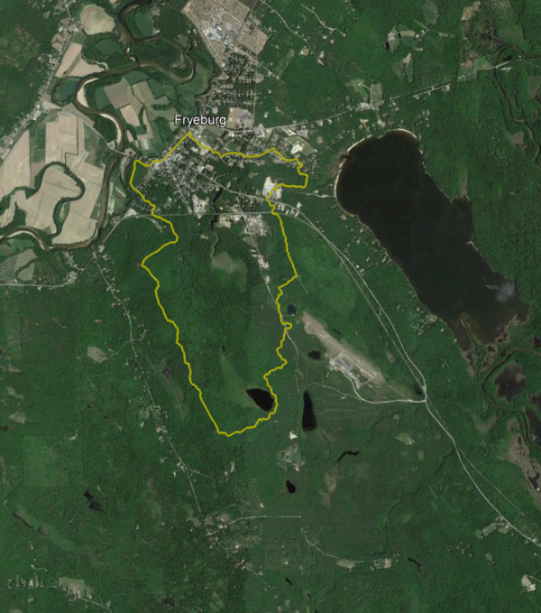
This is an aerial image of Fryeburg, Maine, a study area for a USGS project monitoring groundwater withdrawals.
Multimedia
Multimedia for the New England Water Science Center.
Images
Satellite Image of Fryeburg, Maine
This is an aerial image of Fryeburg, Maine, a study area for a USGS project monitoring groundwater withdrawals.
2026 Long Island Sound Research Conference
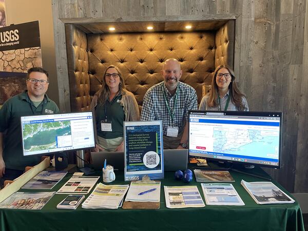
USGS scientists (left to right) Seth Ackerman, Rachel Henderson, Chris Schubert, and Gina Groseclose hosting a booth at the 2026 Long Island Sound Research Conference.
USGS scientists (left to right) Seth Ackerman, Rachel Henderson, Chris Schubert, and Gina Groseclose hosting a booth at the 2026 Long Island Sound Research Conference.
2026 Long Island Sound Research Conference
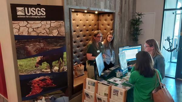
The 2026 Long Island Sound Research Conference brings together researchers, managers, academia, and community partners to share the latest science and strengthen collaborations focused on the future of Long Island Sound. This year, the U.S.
The 2026 Long Island Sound Research Conference brings together researchers, managers, academia, and community partners to share the latest science and strengthen collaborations focused on the future of Long Island Sound. This year, the U.S.
2026 Long Island Sound Research Conference
The 2026 Long Island Sound Research Conference brings together researchers, managers, academia, and community partners to share the latest science and strengthen collaborations focused on the future of Long Island Sound. This year, the U.S.
The 2026 Long Island Sound Research Conference brings together researchers, managers, academia, and community partners to share the latest science and strengthen collaborations focused on the future of Long Island Sound. This year, the U.S.
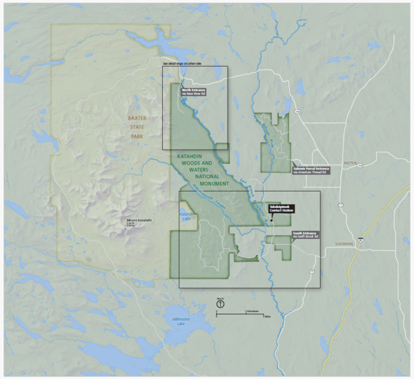
Katahdin Woods and Waters National Monument Map
A map of the Katahdin Woods and Waters National Monument in Maine.
A map of the Katahdin Woods and Waters National Monument in Maine.
Videos

Towing an ADCP Behind a Kayak on the Quinebaug River
Towing an ADCP Behind a Kayak on the Quinebaug RiverUSGS hydrologic technician Virginia Stanley is towing an acoustic doppler current profiler (ADCP) behind a kayak on the Quinebaug River in Putnam, Connecticut, to capture streamflow measurements.

USGS New England Water Science Work and Outreach
The USGS New England Water Science Center studies the quality and movement of the water that sustains our communities and environment and communicates that information with the public.
The USGS New England Water Science Center studies the quality and movement of the water that sustains our communities and environment and communicates that information with the public.

A Statewide Hydraulic Modeling Tool for Stream Crossing Projects in Massachusetts
A Statewide Hydraulic Modeling Tool for Stream Crossing Projects in MassachusettsThe U.S. Geological Survey and the University of Massachusetts at Amherst (UMass Amherst), in cooperation with the Massachusetts Department of Environmental Protection (MassDEP), began a series of studies in 2019 to develop a web-based statewide hydraulic modeling tool to provide preliminary culvert designs for stream-crossing projects in Massachusetts.

Introducing the Massachusetts Statewide Hydraulic Modeling Tool
Introducing the Massachusetts Statewide Hydraulic Modeling ToolThe U.S. Geological Survey (USGS), in cooperation with the Massachusetts Department of Environmental Protection and the University of Massachusetts at Amherst, have developed a GIS-based hydraulic modeling tool for Massachusetts stream crossing replacement projects.

40 Years Presenting Cape Cod Hydrology
USGS has studied the hydrology of Cape Cod and the Islands and demonstrated our science to the public for more than four decades. Many visitor groups from government agencies, universities, nonprofit organizations, and local communities have learned about our groundwater and surface water research in southeastern Massachusetts.
USGS has studied the hydrology of Cape Cod and the Islands and demonstrated our science to the public for more than four decades. Many visitor groups from government agencies, universities, nonprofit organizations, and local communities have learned about our groundwater and surface water research in southeastern Massachusetts.

USGS New England Water Science Center
This video is an overview of the USGS New England Water Science Center's research and monitoring efforts to support the water issue needs of New England and the Nation.
This video is an overview of the USGS New England Water Science Center's research and monitoring efforts to support the water issue needs of New England and the Nation.
Webcams

Quonopaug Brook at Rt 116 near North Scituate, Rhode Island
Quonopaug Brook at Rt 116 near North Scituate, Rhode IslandQuonopaug Brook at Rt 116 near North Scituate, Rhode Island. Monitoring location 01115183 is a tributary to the Scituate Reservoir in Providence County, Rhode Island. Current conditions of discharge and gage height are available.
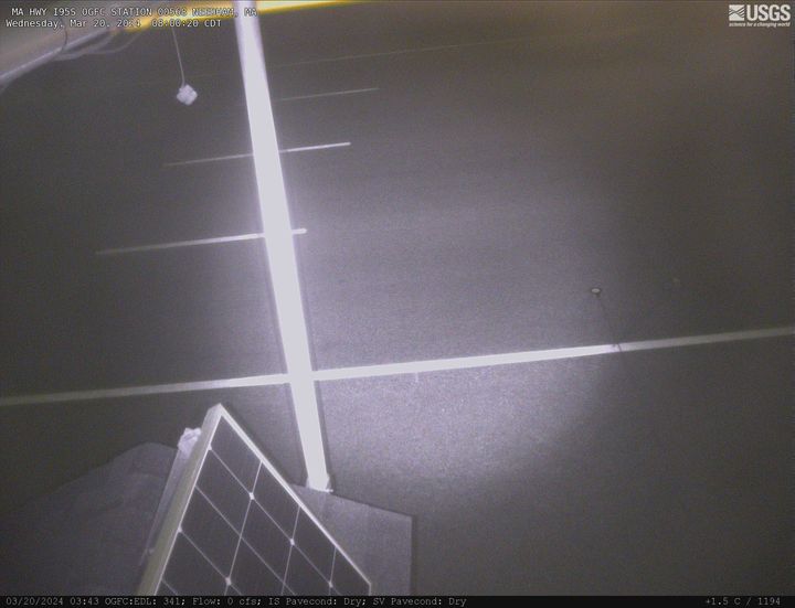
MA-HWY-I95S-HMA-Station 00567 Needham, Massachusetts
MA-HWY-I95S-HMA-Station 00567 Needham, MassachusettsMA-HWY-I95S-HMA-STATION 00567 Needham, MA. The highway monitoring station 421650071120401 is located along Interstate 95 in Norfolk County, Massachusetts.
MA-HWY-I95S-HMA-Station 00567 Needham, Massachusetts
MA-HWY-I95S-HMA-Station 00567 Needham, MassachusettsMA-HWY-I95S-HMA-STATION 00567 Needham, MA. The highway monitoring station 421650071120401 is located along Interstate 95 in Norfolk County, Massachusetts.
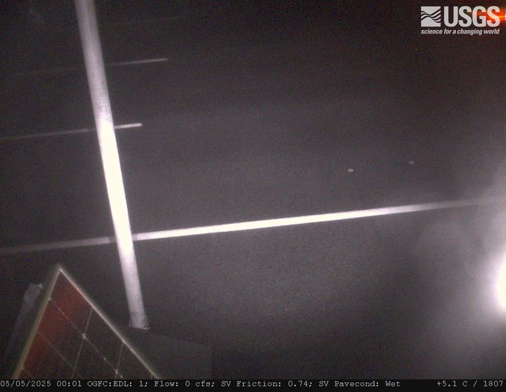
MA HWY I95S OGFC Station 00568 Needham, Massachusetts
MA HWY I95S OGFC Station 00568 Needham, MassachusettsMA-HWY-I95S-OGFC-STATION 00568 Needham, MA. The highway monitoring station 421652071120601 is located along Interstate 95 in Norfolk County, Massachusetts.
MA HWY I95S OGFC Station 00568 Needham, Massachusetts
MA HWY I95S OGFC Station 00568 Needham, MassachusettsMA-HWY-I95S-OGFC-STATION 00568 Needham, MA. The highway monitoring station 421652071120601 is located along Interstate 95 in Norfolk County, Massachusetts.
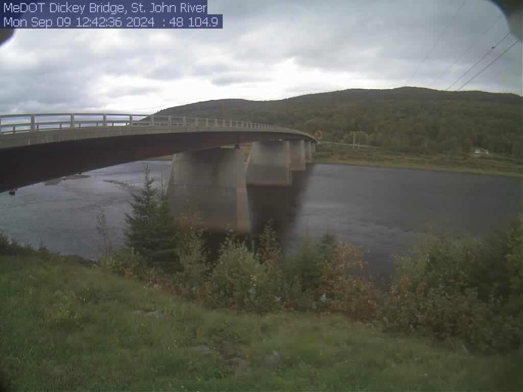
St. John River at Dickey, Maine (01037050)
View of the St. John River from the webcam located at St. John River at Dickey, Maine (01037050)
View of the St. John River from the webcam located at St. John River at Dickey, Maine (01037050)
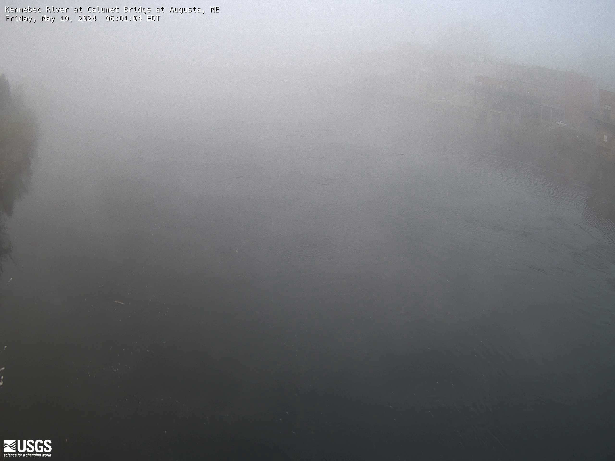
Kennebec River at Calumet Bridge at Augusta, Maine (01049320)
Kennebec River at Calumet Bridge at Augusta, Maine (01049320)Kennebec River at Calumet Bridge at Augusta, Maine (01049320)
Station operated in cooperation with the Maine Emergency Management Agency and the Maine River Flow Advisory Commission.