Groundwater - Surveying - GNSS Suffolk County, Long Island, NY
Groundwater - Surveying - GNSS Suffolk County, Long Island, NYGroundwater - Surveying - Global Navigation Satellite System (GNSS) Suffolk County, Long Island, NY

Official websites use .gov
A .gov website belongs to an official government organization in the United States.
Secure .gov websites use HTTPS
A lock () or https:// means you’ve safely connected to the .gov website. Share sensitive information only on official, secure websites.
New York Water Science Center images.

Groundwater - Surveying - Global Navigation Satellite System (GNSS) Suffolk County, Long Island, NY
Groundwater - Surveying - Global Navigation Satellite System (GNSS) Suffolk County, Long Island, NY

Bad River Watershed, Wisconsin
Bad River Watershed, Wisconsin

USGS storm-tide sensor bolted to a cement jetty on the Atlantic Ocean coast at Fire Island, New York. USGS scientists deployed over 50 sensors along the coast of Maine, New Hampshire, Massachusetts, Rhode Island, Connecticut, New York, New Jersey and Delaware to study a Nor'easter that affected the Northeast in March of 2018.
USGS storm-tide sensor bolted to a cement jetty on the Atlantic Ocean coast at Fire Island, New York. USGS scientists deployed over 50 sensors along the coast of Maine, New Hampshire, Massachusetts, Rhode Island, Connecticut, New York, New Jersey and Delaware to study a Nor'easter that affected the Northeast in March of 2018.

Esopus River rapids sediment sampling January 2018
Esopus River rapids sediment sampling January 2018

Mohawk River Ice Jam at Lock 8 in Schenectady, NY near USGS gaging station 01354330
Mohawk River Ice Jam at Lock 8 in Schenectady, NY near USGS gaging station 01354330
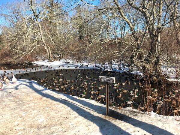
Ducks in Hook Pond Dreen at Davids Lane, East Hampton, New York
Ducks in Hook Pond Dreen at Davids Lane, East Hampton, New York

Transporting equipment used for maintenance of groundwater well CT2498 in Perrysburg, New York
Transporting equipment used for maintenance of groundwater well CT2498 in Perrysburg, New York

Moreau Lake, Moreau, New York
Moreau Lake, Moreau, New York

Hydrogeologic Framework Mapping - Long Island
Hydrogeologic Framework Mapping - Long Island

Carman's River, Long Island, New York
Carman's River, Long Island, New York

Peconic River, Long Island, New York

USGS scientist Amy Simonson making a stream flow measurement in the Peconic River on Long Island, New York
USGS scientist Amy Simonson making a stream flow measurement in the Peconic River on Long Island, New York

Weir or low dam at the Peconic River
Weir or low dam at the Peconic River

Saltwater Interface Mapping using electromagnetic sounding - Long Island
Saltwater Interface Mapping using electromagnetic sounding - Long Island

A harmful algal bloom in a New York lake
A harmful algal bloom in a New York lake

Lake elevation measurement in Suffolk County, NY
Lake elevation measurement in Suffolk County, NY

Lake Measurement - GNSS - Lake Panamoka, Suffolk County, Long Island, NY
Lake Measurement - GNSS - Lake Panamoka, Suffolk County, Long Island, NY

Water-quality sampling on the Buffalo River, NY
Water-quality sampling on the Buffalo River, NY

Drilling and core sampling on the Shinnecock Tribal Lands, Long Island, NY
Drilling and core sampling on the Shinnecock Tribal Lands, Long Island, NY

NYWSC scientist collecting groundwater samples
NYWSC scientist collecting groundwater samples

USGS scientist SOD sampling in the Mohawk RIver
USGS scientist SOD sampling in the Mohawk RIver