
USGS scientists (left to right) Seth Ackerman, Rachel Henderson, Chris Schubert, and Gina Groseclose hosting a booth at the 2026 Long Island Sound Research Conference.
Multimedia
Images
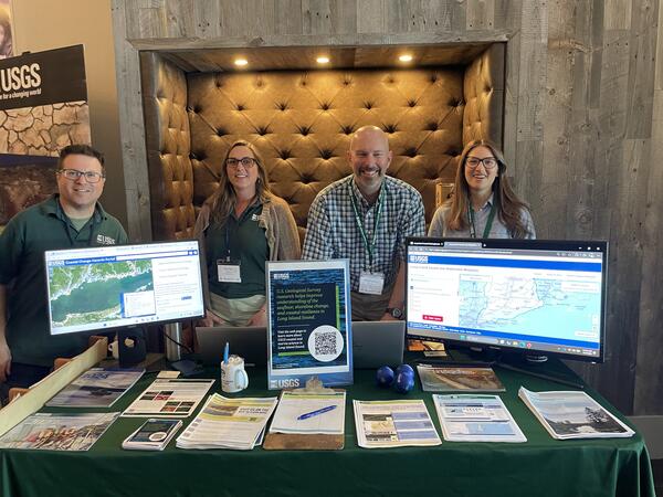
2026 Long Island Sound Research Conference
USGS scientists (left to right) Seth Ackerman, Rachel Henderson, Chris Schubert, and Gina Groseclose hosting a booth at the 2026 Long Island Sound Research Conference.
2026 Long Island Sound Research Conference
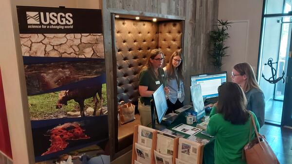
The 2026 Long Island Sound Research Conference brings together researchers, managers, academia, and community partners to share the latest science and strengthen collaborations focused on the future of Long Island Sound. This year, the U.S.
The 2026 Long Island Sound Research Conference brings together researchers, managers, academia, and community partners to share the latest science and strengthen collaborations focused on the future of Long Island Sound. This year, the U.S.
2026 Long Island Sound Research Conference
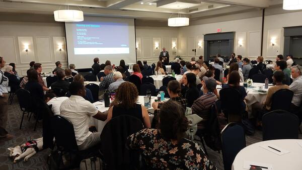
The 2026 Long Island Sound Research Conference brings together researchers, managers, academia, and community partners to share the latest science and strengthen collaborations focused on the future of Long Island Sound. This year, the U.S.
The 2026 Long Island Sound Research Conference brings together researchers, managers, academia, and community partners to share the latest science and strengthen collaborations focused on the future of Long Island Sound. This year, the U.S.
2026 Long Island Sound Research Conference
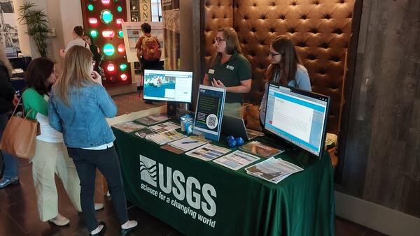
The 2026 Long Island Sound Research Conference brings together researchers, managers, academia, and community partners to share the latest science and strengthen collaborations focused on the future of Long Island Sound. This year, the U.S.
The 2026 Long Island Sound Research Conference brings together researchers, managers, academia, and community partners to share the latest science and strengthen collaborations focused on the future of Long Island Sound. This year, the U.S.
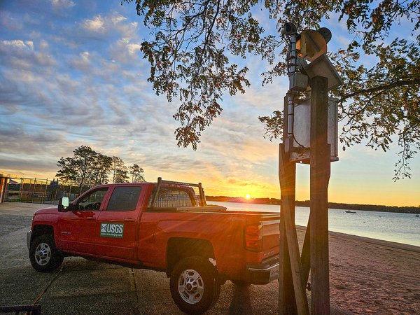
Making early morning at West Harbor Beach, New York
Making early morning at West Harbor Beach, New YorkSunrise during early morning checks at a USGS water quality/elevation station in West Harbor Beach Memorial Park, in Bayville, New York.
Fall 2025 Photo Contest Winner: Natalie Cheung, Where We Work category

Brandon Ernst making a discharge measurement during ice conditions at the Fulmer Creek at Mohawk, NY
Brandon Ernst making a discharge measurement during ice conditions at the Fulmer Creek at Mohawk, NYBrandon Ernst making a discharge measurement during ice conditions at the Fulmer Creek at Mohawk, NY (01342743) gaging station.
Winter 2025 Photo Contest Winner: Bernard (Jason) Zatorsky, People category
Videos

Hudson River Spatial Mapping Trip
This is a video recording taken during a spatial mapping boat trip of about 50 miles on the Hudson River from New Hamburg to Yonkers, NY, passing through the Hudson Highlands, West Point, and the Tappan Zee.
This is a video recording taken during a spatial mapping boat trip of about 50 miles on the Hudson River from New Hamburg to Yonkers, NY, passing through the Hudson Highlands, West Point, and the Tappan Zee.

USGS Studies Harmful Algal Blooms in New York
USGS scientists are studying water-quality conditions and harmful algal blooms—known as HABs—in Owasco, Seneca and Skaneateles lakes in New York. The USGS monitoring effort will provide a better understanding of HAB growth and severity and allow for near instantaneous detection of changing water-quality conditions that might be indicative of HAB development.
USGS scientists are studying water-quality conditions and harmful algal blooms—known as HABs—in Owasco, Seneca and Skaneateles lakes in New York. The USGS monitoring effort will provide a better understanding of HAB growth and severity and allow for near instantaneous detection of changing water-quality conditions that might be indicative of HAB development.
Webcams
Streamgage 01437500 Neversink River at Godeffroy, NY
Streamgage 01437500 Neversink River at Godeffroy, NYWebcam at USGS Streamgage 01437500 Neversink River at Godeffroy, NY.
Visit Water Data For the Nation to get current data for this site.
Streamgage 01437500 Neversink River at Godeffroy, NY
Streamgage 01437500 Neversink River at Godeffroy, NYWebcam at USGS Streamgage 01437500 Neversink River at Godeffroy, NY.
Visit Water Data For the Nation to get current data for this site.
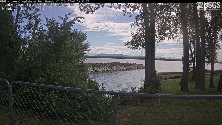
Lake Champlain at Port Henry, NY
PLEASE NOTE: During winter months, ice and snow can affect the picture quality. The camera is cleaned as often as it is safe to do so.
Lake Champlain at Port Henry, NY (04294413)
PLEASE NOTE: During winter months, ice and snow can affect the picture quality. The camera is cleaned as often as it is safe to do so.
Lake Champlain at Port Henry, NY (04294413)
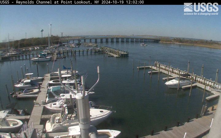
Reynolds Channel at Point Lookout, NY
Latest webcam image of Reynolds Channel (01310740).
Image timestamp is in Eastern Standard Time.
Webcam is located on tower at USGS gaging station, looking west-northwest toward Loop Parkway Bridge.
Latest webcam image of Reynolds Channel (01310740).
Image timestamp is in Eastern Standard Time.
Webcam is located on tower at USGS gaging station, looking west-northwest toward Loop Parkway Bridge.
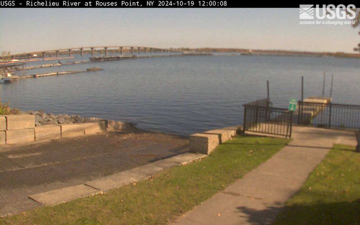
Richelieu River (Lake Champlain) at Rouses Point, NY
Richelieu River (Lake Champlain) at Rouses Point, NYRichelieu River (Lake Champlain) at Rouses Point, NY from USGS gaging station (04295000)
Richelieu River (Lake Champlain) at Rouses Point, NY
Richelieu River (Lake Champlain) at Rouses Point, NYRichelieu River (Lake Champlain) at Rouses Point, NY from USGS gaging station (04295000)
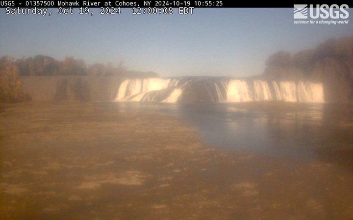
Cohoes Falls, NY (01357500)
Cohoes Falls upstream from USGS gaging station
PLEASE NOTE: During winter months, ice and snow can affect the picture quality. The camera is cleaned as often as it is safe to do so.
Cohoes Falls upstream from USGS gaging station
PLEASE NOTE: During winter months, ice and snow can affect the picture quality. The camera is cleaned as often as it is safe to do so.