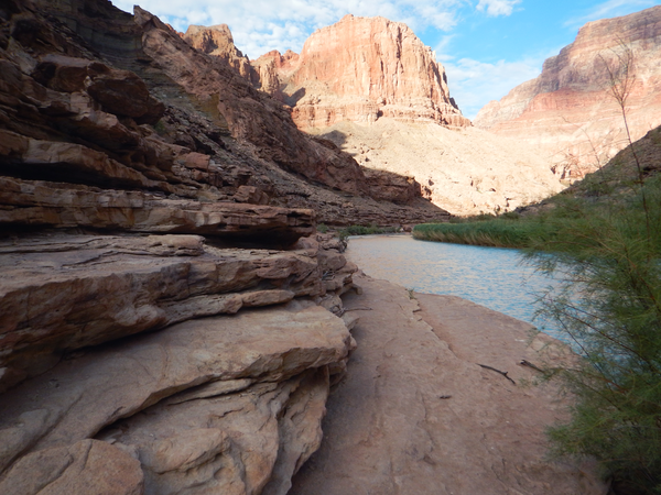
Biocrusts provide soil stability and prevent erosion
Biocrusts provide soil stability and prevent erosionBiocrusts provide soil stability and prevent erosion. Soil is the foundation where plants live; if soil is not stable, native plants can have difficulty growing.