Underwood Creek near Elm Grove Soccer Field SIDEVIEW
Underwood Creek near Elm Grove Soccer Field SIDEVIEWWebcam at Underwood Creek near Elm Grove, Wisconsin, Soccer Field, Fish Camera SIDEVIEW.

An official website of the United States government
Here's how you know
Official websites use .gov
A .gov website belongs to an official government organization in the United States.
Secure .gov websites use HTTPS
A lock () or https:// means you’ve safely connected to the .gov website. Share sensitive information only on official, secure websites.
Geomorphology and habitat studies related to stream and estuary rehabilitation consist of three subproject areas: evaluating the efficacy of fish passage restoration efforts (across multiple watersheds), a targeted assessment of fish passage in the Underwood Creek watershed, and characterization of the Milwaukee River estuary.
During the current 5-year study period for Phase VI (2021-2025) of the Milwaukee Metropolitan Sewerage District (MMSD) Watercourse Corridor Study, the following six topics are being addressed by one or more USGS subprojects:
1. Ecological Assessments and Trends
2. Geomorphology and Habitat Studies Related to Stream and Estuary Rehabilitation
a. Evaluating the Efficacy of Fish Passage Restoration Efforts
c. Milwaukee River Estuary Geomorphology, Hydrodynamics, and Habitat
3. Contaminants in Water and Sediment
6. Continuous Real-Time Streamflow
This webpage focuses on topic 2. Geomorphology and Habitat Studies Related to Stream and Estuary Rehabilitation.
Geomorphology and habitat studies related to stream and estuary rehabilitation consist of three subproject areas: evaluating the efficacy of fish passage restoration efforts (across multiple watersheds), a targeted assessment of fish passage in the Underwood Creek watershed, and characterization of the Milwaukee River estuary. The work is done in consultation with MMSD watercourse engineers to assist with planning, design, and evaluation of rehabilitation projects. Much of the rehabilitation work involves removal of concrete-lined channels.
BACKGROUND
During Phase IV and Phase V of the MMSD Watercourse Corridor Study the USGS assisted MMSD watercourse engineers in evaluating the stream geomorphology and habitat characteristics associated with channel restoration efforts that mainly involved concrete removal and fish passage improvements in the Menomonee and Kinnickinnic Rivers and their tributaries.

A stream-network-wide geographic information system (GIS) tool was developed to characterize hydrogeomorphic units relative to potential habitat types and restoration objective (Smith, 2016; Sterner and others, 2023). A sediment fingerprinting study for the Kinnickinnic River indicated that the majority of sediment was derived from residential sources and secondarily from streambanks in unlined, relatively steep sections (Blount, Lenoch, and Fitzpatrick, 2023). Nickel, chromium, lead, zinc, and mercury were above the sediment-quality guidelines for probable effects on benthic invertebrates in one or more streambank, streambed, and suspended sediment sample collected as part of this study. Reach-based habitat characterization field tools used for the ecological assessments were expanded to include measures important for documenting and quantifying physical and vegetative changes in the channels and adjacent riparian corridors. These additional methods were added to both the core ecological assessment sites and sites selected specifically to evaluate restoration effects. Three restored sites were sampled for habitat and fish similar to the core ecology sites. Phase VI efforts are geared toward documenting the extent of fish passage from Lake Michigan to potential spawning zones in tributaries of the Menomonee and Kinnickinnic Rivers. The work is done in communication with MMSD staff as well as Wisconsin Department of Natural Resources fisheries biologists that are tracking fish migration within their state programs. On an approximately 3-year cycle, three restored reaches have repeat geomorphic and habitat, and fish assessments.
OBJECTIVES
APPROACH
CONTACT
BACKGROUND
Flooding issues in the Underwood Creek watershed in the 1960s and 1970s prompted the installation of concrete-lined channels to move water out of the area as quickly as possible. Over time, the negative consequences of these efforts became apparent, as such channels pose safety risks to humans, eliminate fish habitats, impede fish migrations, and cause upstream flooding. In response, MMSD started a multi-phase project in 2010 to replace concrete linings with a bioengineered channel in this watershed (as with several watersheds in the area). This reconstruction effort replaces the concrete-lined channel and drop structures, which prevent fish from migrating from Lake Michigan to the headwaters to spawn, with a more natural boulder and stone-lined channel and a riffle-pool-run design. Two downstream sections of stream have undergone restoration, leaving mostly bioengineered channel downstream of Mayfair Road/Highway 100. The goal of this reconstruction project was to reconnect anadromous fish with historical spawning habitat in the headwaters of Underwood Creek by reducing creek velocities to allow northern pike (Esox lucius) and non-jumping fish species (Oncorhynchus mykiss [steelhead]) passage and provide rest areas and areas to reduce predation.

During Phase V of the MMSD Watercourse Corridor Study the USGS did a targeted study of fish passage in the Underwood Creek; the aim of this study was to document the ‘before’ condition for a site near Elm Grove where restoration was slated to begin later that year, and to compare it to fish assemblages found in downstream, already restored reaches (Bell, 2021).
In Phase VI, a second, targeted study will be done in this watershed. The aim for this study is to assess fish passage within the downstream, restored reaches of the stream. Within this area, sections of concrete-lining remain beneath interstate and rail bridges; whether these small sections of concrete-lining serve as an impediment to fish migration is unknown. Fish passage across this entire section of stream is of great interest by MMSD and the U.S. Army Corps of Engineers (a partner in these restorations) to determine the efficacy of restored stream sections, one of the goals of which was to enhance fish migration. The fish community composition will be evaluated in four restored reaches of Underwood Creek—three downstream and one upstream of the potential fish barrier.
OBJECTIVES
The objective of this study is to assess the level of fish passage in these reaches by comparing fish community composition between the restored reaches upstream and downstream of a potential fish barrier. This will help determine the how effective restoration efforts have been in achieving their goals related to enhancing fish passage.
APPROACH
A one-time sampling of four reaches in the restored areas downstream of Mayfair Road/Highway 100 will be done using the same protocols used in the first targeted study, in Phase V. Data will be handled similarly as well, with the calculation of IBIs, the comparison to historical data, and publication as a USGS report.
CONTACT
BACKGROUND
This effort will include development of a physical habitat framework for large habitat types based on the Milwaukee Harbor Estuary Remedial Action Plan (WDNR, 2014), including effects on water temperature from multidirectional currents and seiche effects associated with the mixing of river flows with Lake Michigan backwater. The framework will build off of existing nearshore and estuary frameworks developed for other areas of the Great Lakes as well as a fish habitat study by UW-Milwaukee (Dow, 2018).

OBJECTIVES
The goal of the USGS/MMSD Milwaukee Harbor Estuary habitat study is to develop a pilot framework for baseline assessment, mapping, and rehabilitation evaluation of physical habitat in the Milwaukee Harbor Estuary under MMSD jurisdiction. This framework will be linked to binational efforts for the development of a baseline habitat assessment for the Great Lakes and for the Great Lakes Restoration Initiative. It will focus specifically on the estuary/river mouth mixing zone under the influence of both varying river flows and seiche-related currents and water-level fluctuations.
APPROACH
The pilot framework will reflect habitat measurement protocols and hydrodynamic data and modeling related to the development of the updated Great Lakes ecological and habitat indicators previously piloted by the Great Lakes Science Advisory Board, Research Coordination Committee in 2016; NOAA’s coastal and estuarine habitat classification (Allee and others, 2000), and the European Environment Agency’s habitat classification scheme and interactive mapper for marine environments in the European Nature Information System (EUNIS) European Marine Observation and Data Network (EMODnet; Davies and others, 2004). The four recommended coastal marine habitat classification frameworks from Lund and Wilbur (2007) will be evaluated. The habitat assessment will tentatively reflect a combination of the following characteristics: substrate texture and layering, bedforms and bedrock, sediment mobility; wave/current energy, water-level and depth variability in terms annual and seasonal lake level statistics and regulatory levels. Much of the physical data has been collected and mapped by Dow (2018). The assessment will also incorporate a range of hourly seiche variations; natural and artificial structures; shore ice and ice jams, water temperature and sediment oxygenation, and beds of rooted aquatic and wetland vegetation.
The study approach will emphasize integration of available substrate/sediment data maps from the University of Wisconsin-Milwaukee Freshwater Institute (Dow, 2018); hydrodynamic models, such as the Milwaukee Harbor Estuary Hydrodynamic and Bacteria Modeling, USGS velocity, stage, temperature, and flow data (U.S. Geological Survey, 2018), and any new hydrodynamic models that are developed by the Global Water Center. Project personnel will work closely with others involved in field surveys and mapping in the Estuary, including the Technical Advisory Team for the Milwaukee Area of Concern as well as those conducting similar studies for the St. Louis River National Estuarine Research Reserve. In 2022 a journal article on water temperature fluctuations was written (Stefaniak and others, in review), as well as the underlying data (Reneau and others, 2022; Stewart and others, 2021). In 2023, maps will be published as an interactive web mapper showing dynamic water level fluctuations. Any new data will be published in the USGS ScienceBase.
CONTACT
The webcams linked to below enable the generation of time-lapse videos and allow greater insights into fish passage through these streams.
Row 1: Underwood Creek nr Elm Grove (side & above), Underwood Creek at Wauwatosa (side)
Row 2: Underwood Creek at Wauwatosa (above), Little Menomonee River nr Freistadt, Menomonee River at Wauwatosa
Row 3: Kinnickinnic River at 16th Street Milwaukee (side & above)
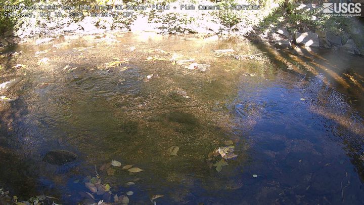
Webcam at Underwood Creek near Elm Grove, Wisconsin, Soccer Field, Fish Camera SIDEVIEW.
Webcam at Underwood Creek near Elm Grove, Wisconsin, Soccer Field, Fish Camera SIDEVIEW.
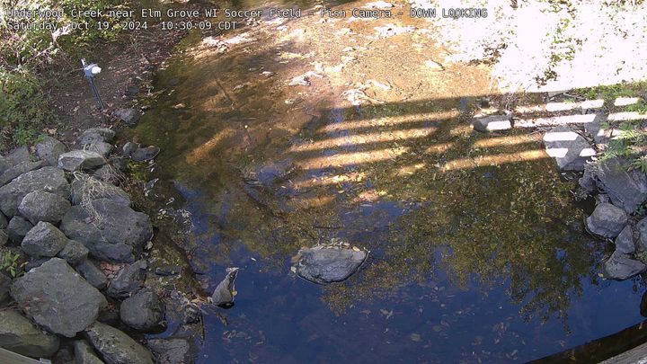
Webcam at Underwood Creek near Elm Grove, Wisconsin, Soccer Field, Fish Camera DOWN LOOKING.
Webcam at Underwood Creek near Elm Grove, Wisconsin, Soccer Field, Fish Camera DOWN LOOKING.
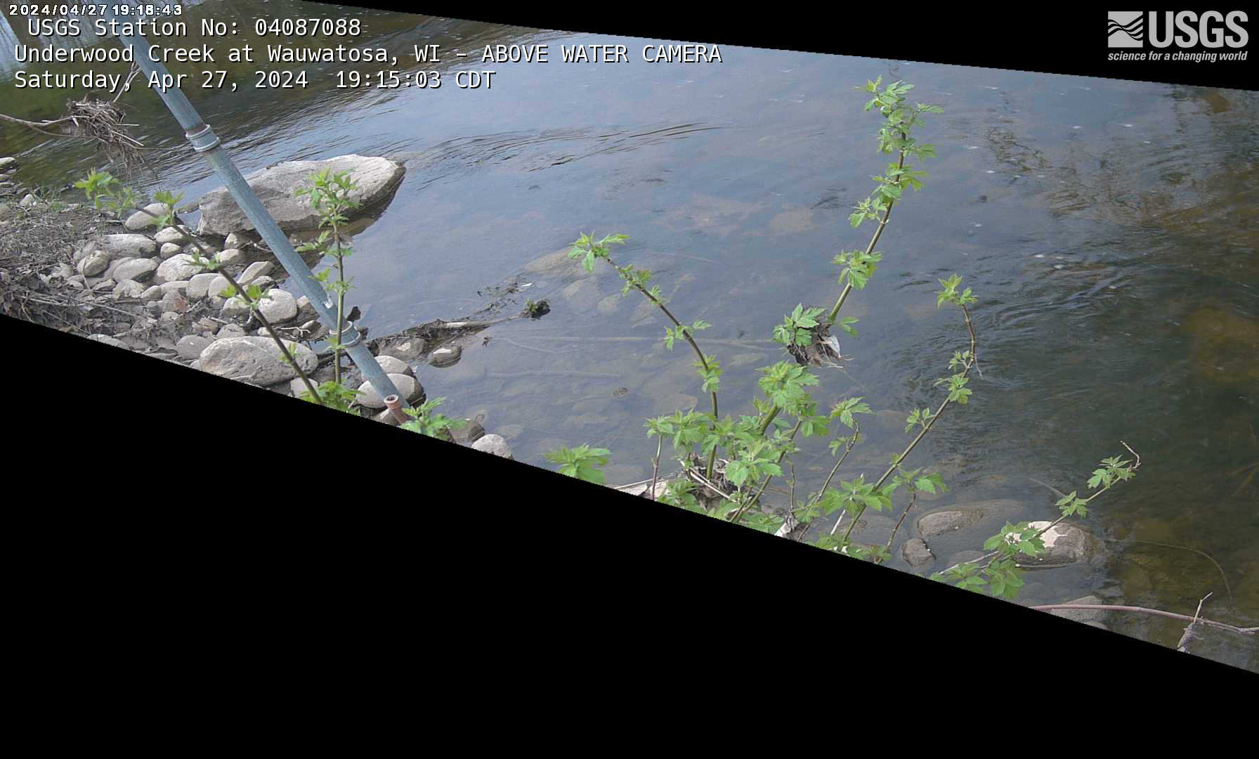
Webcam for fish observation at streamgage 04087088, Underwood Creek at Wauwatosa, Wisconsin: https://waterdata.usgs.gov/monitoring-location/04087088/
Webcam for fish observation at streamgage 04087088, Underwood Creek at Wauwatosa, Wisconsin: https://waterdata.usgs.gov/monitoring-location/04087088/
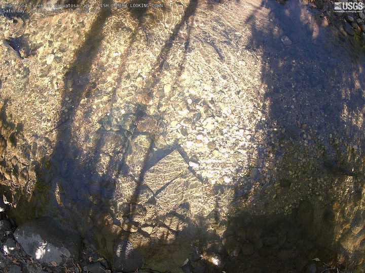
Underwood Creek at Wauwatosa, Wisconsin, FISH CAMERA LOOKING DOWN.
Streamgage Underwood Creek at Wauwatosa, WI - 04087088 Underwood Creek at Wauwatosa, WI - USGS Water Data for the Nation
Underwood Creek at Wauwatosa, Wisconsin, FISH CAMERA LOOKING DOWN.
Streamgage Underwood Creek at Wauwatosa, WI - 04087088 Underwood Creek at Wauwatosa, WI - USGS Water Data for the Nation
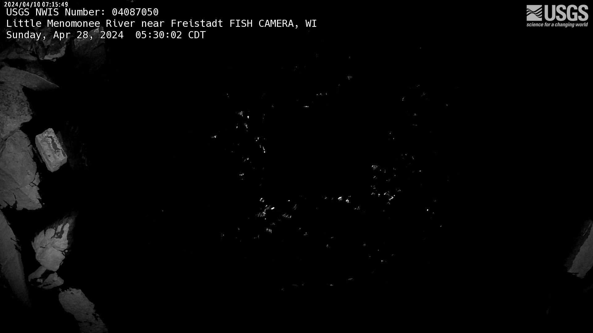
Webcam for fish observation at streamgage 04087050, Little Menomonee River near Freistadt, Wisconsin: https://waterdata.usgs.gov/monitoring-location/04087050/
Webcam for fish observation at streamgage 04087050, Little Menomonee River near Freistadt, Wisconsin: https://waterdata.usgs.gov/monitoring-location/04087050/
Webcam for fish observation at streamgage 04087120, Menomonee River at Wauwatosa, Wisconsin: https://waterdata.usgs.gov/monitoring-location/04087120/
Webcam for fish observation at streamgage 04087120, Menomonee River at Wauwatosa, Wisconsin: https://waterdata.usgs.gov/monitoring-location/04087120/
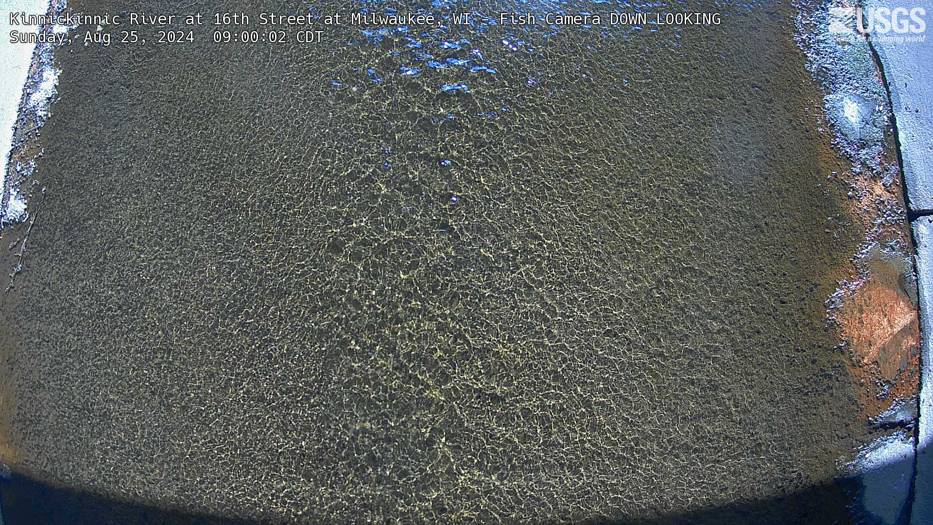
Webcam for fish observation at streamgage 11111111, Kinnickinnic River at 16th Street at Milwaukee, WI: https://waterdata.usgs.gov/monitoring-location/11111111/
Webcam for fish observation at streamgage 11111111, Kinnickinnic River at 16th Street at Milwaukee, WI: https://waterdata.usgs.gov/monitoring-location/11111111/
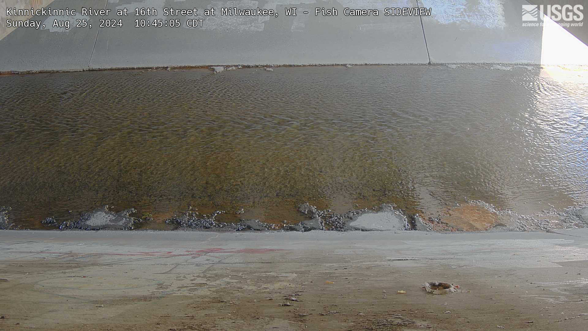
Webcam for fish observation at streamgage 11111111, Kinnickinnic River at 16th Street at Milwaukee, WI: https://waterdata.usgs.gov/monitoring-location/11111111/
Webcam for fish observation at streamgage 11111111, Kinnickinnic River at 16th Street at Milwaukee, WI: https://waterdata.usgs.gov/monitoring-location/11111111/
Geomorphology and habitat studies related to stream and estuary rehabilitation consist of three subproject areas: evaluating the efficacy of fish passage restoration efforts (across multiple watersheds), a targeted assessment of fish passage in the Underwood Creek watershed, and characterization of the Milwaukee River estuary.
During the current 5-year study period for Phase VI (2021-2025) of the Milwaukee Metropolitan Sewerage District (MMSD) Watercourse Corridor Study, the following six topics are being addressed by one or more USGS subprojects:
1. Ecological Assessments and Trends
2. Geomorphology and Habitat Studies Related to Stream and Estuary Rehabilitation
a. Evaluating the Efficacy of Fish Passage Restoration Efforts
c. Milwaukee River Estuary Geomorphology, Hydrodynamics, and Habitat
3. Contaminants in Water and Sediment
6. Continuous Real-Time Streamflow
This webpage focuses on topic 2. Geomorphology and Habitat Studies Related to Stream and Estuary Rehabilitation.
Geomorphology and habitat studies related to stream and estuary rehabilitation consist of three subproject areas: evaluating the efficacy of fish passage restoration efforts (across multiple watersheds), a targeted assessment of fish passage in the Underwood Creek watershed, and characterization of the Milwaukee River estuary. The work is done in consultation with MMSD watercourse engineers to assist with planning, design, and evaluation of rehabilitation projects. Much of the rehabilitation work involves removal of concrete-lined channels.
BACKGROUND
During Phase IV and Phase V of the MMSD Watercourse Corridor Study the USGS assisted MMSD watercourse engineers in evaluating the stream geomorphology and habitat characteristics associated with channel restoration efforts that mainly involved concrete removal and fish passage improvements in the Menomonee and Kinnickinnic Rivers and their tributaries.

A stream-network-wide geographic information system (GIS) tool was developed to characterize hydrogeomorphic units relative to potential habitat types and restoration objective (Smith, 2016; Sterner and others, 2023). A sediment fingerprinting study for the Kinnickinnic River indicated that the majority of sediment was derived from residential sources and secondarily from streambanks in unlined, relatively steep sections (Blount, Lenoch, and Fitzpatrick, 2023). Nickel, chromium, lead, zinc, and mercury were above the sediment-quality guidelines for probable effects on benthic invertebrates in one or more streambank, streambed, and suspended sediment sample collected as part of this study. Reach-based habitat characterization field tools used for the ecological assessments were expanded to include measures important for documenting and quantifying physical and vegetative changes in the channels and adjacent riparian corridors. These additional methods were added to both the core ecological assessment sites and sites selected specifically to evaluate restoration effects. Three restored sites were sampled for habitat and fish similar to the core ecology sites. Phase VI efforts are geared toward documenting the extent of fish passage from Lake Michigan to potential spawning zones in tributaries of the Menomonee and Kinnickinnic Rivers. The work is done in communication with MMSD staff as well as Wisconsin Department of Natural Resources fisheries biologists that are tracking fish migration within their state programs. On an approximately 3-year cycle, three restored reaches have repeat geomorphic and habitat, and fish assessments.
OBJECTIVES
APPROACH
CONTACT
BACKGROUND
Flooding issues in the Underwood Creek watershed in the 1960s and 1970s prompted the installation of concrete-lined channels to move water out of the area as quickly as possible. Over time, the negative consequences of these efforts became apparent, as such channels pose safety risks to humans, eliminate fish habitats, impede fish migrations, and cause upstream flooding. In response, MMSD started a multi-phase project in 2010 to replace concrete linings with a bioengineered channel in this watershed (as with several watersheds in the area). This reconstruction effort replaces the concrete-lined channel and drop structures, which prevent fish from migrating from Lake Michigan to the headwaters to spawn, with a more natural boulder and stone-lined channel and a riffle-pool-run design. Two downstream sections of stream have undergone restoration, leaving mostly bioengineered channel downstream of Mayfair Road/Highway 100. The goal of this reconstruction project was to reconnect anadromous fish with historical spawning habitat in the headwaters of Underwood Creek by reducing creek velocities to allow northern pike (Esox lucius) and non-jumping fish species (Oncorhynchus mykiss [steelhead]) passage and provide rest areas and areas to reduce predation.

During Phase V of the MMSD Watercourse Corridor Study the USGS did a targeted study of fish passage in the Underwood Creek; the aim of this study was to document the ‘before’ condition for a site near Elm Grove where restoration was slated to begin later that year, and to compare it to fish assemblages found in downstream, already restored reaches (Bell, 2021).
In Phase VI, a second, targeted study will be done in this watershed. The aim for this study is to assess fish passage within the downstream, restored reaches of the stream. Within this area, sections of concrete-lining remain beneath interstate and rail bridges; whether these small sections of concrete-lining serve as an impediment to fish migration is unknown. Fish passage across this entire section of stream is of great interest by MMSD and the U.S. Army Corps of Engineers (a partner in these restorations) to determine the efficacy of restored stream sections, one of the goals of which was to enhance fish migration. The fish community composition will be evaluated in four restored reaches of Underwood Creek—three downstream and one upstream of the potential fish barrier.
OBJECTIVES
The objective of this study is to assess the level of fish passage in these reaches by comparing fish community composition between the restored reaches upstream and downstream of a potential fish barrier. This will help determine the how effective restoration efforts have been in achieving their goals related to enhancing fish passage.
APPROACH
A one-time sampling of four reaches in the restored areas downstream of Mayfair Road/Highway 100 will be done using the same protocols used in the first targeted study, in Phase V. Data will be handled similarly as well, with the calculation of IBIs, the comparison to historical data, and publication as a USGS report.
CONTACT
BACKGROUND
This effort will include development of a physical habitat framework for large habitat types based on the Milwaukee Harbor Estuary Remedial Action Plan (WDNR, 2014), including effects on water temperature from multidirectional currents and seiche effects associated with the mixing of river flows with Lake Michigan backwater. The framework will build off of existing nearshore and estuary frameworks developed for other areas of the Great Lakes as well as a fish habitat study by UW-Milwaukee (Dow, 2018).

OBJECTIVES
The goal of the USGS/MMSD Milwaukee Harbor Estuary habitat study is to develop a pilot framework for baseline assessment, mapping, and rehabilitation evaluation of physical habitat in the Milwaukee Harbor Estuary under MMSD jurisdiction. This framework will be linked to binational efforts for the development of a baseline habitat assessment for the Great Lakes and for the Great Lakes Restoration Initiative. It will focus specifically on the estuary/river mouth mixing zone under the influence of both varying river flows and seiche-related currents and water-level fluctuations.
APPROACH
The pilot framework will reflect habitat measurement protocols and hydrodynamic data and modeling related to the development of the updated Great Lakes ecological and habitat indicators previously piloted by the Great Lakes Science Advisory Board, Research Coordination Committee in 2016; NOAA’s coastal and estuarine habitat classification (Allee and others, 2000), and the European Environment Agency’s habitat classification scheme and interactive mapper for marine environments in the European Nature Information System (EUNIS) European Marine Observation and Data Network (EMODnet; Davies and others, 2004). The four recommended coastal marine habitat classification frameworks from Lund and Wilbur (2007) will be evaluated. The habitat assessment will tentatively reflect a combination of the following characteristics: substrate texture and layering, bedforms and bedrock, sediment mobility; wave/current energy, water-level and depth variability in terms annual and seasonal lake level statistics and regulatory levels. Much of the physical data has been collected and mapped by Dow (2018). The assessment will also incorporate a range of hourly seiche variations; natural and artificial structures; shore ice and ice jams, water temperature and sediment oxygenation, and beds of rooted aquatic and wetland vegetation.
The study approach will emphasize integration of available substrate/sediment data maps from the University of Wisconsin-Milwaukee Freshwater Institute (Dow, 2018); hydrodynamic models, such as the Milwaukee Harbor Estuary Hydrodynamic and Bacteria Modeling, USGS velocity, stage, temperature, and flow data (U.S. Geological Survey, 2018), and any new hydrodynamic models that are developed by the Global Water Center. Project personnel will work closely with others involved in field surveys and mapping in the Estuary, including the Technical Advisory Team for the Milwaukee Area of Concern as well as those conducting similar studies for the St. Louis River National Estuarine Research Reserve. In 2022 a journal article on water temperature fluctuations was written (Stefaniak and others, in review), as well as the underlying data (Reneau and others, 2022; Stewart and others, 2021). In 2023, maps will be published as an interactive web mapper showing dynamic water level fluctuations. Any new data will be published in the USGS ScienceBase.
CONTACT
The webcams linked to below enable the generation of time-lapse videos and allow greater insights into fish passage through these streams.
Row 1: Underwood Creek nr Elm Grove (side & above), Underwood Creek at Wauwatosa (side)
Row 2: Underwood Creek at Wauwatosa (above), Little Menomonee River nr Freistadt, Menomonee River at Wauwatosa
Row 3: Kinnickinnic River at 16th Street Milwaukee (side & above)

Webcam at Underwood Creek near Elm Grove, Wisconsin, Soccer Field, Fish Camera SIDEVIEW.
Webcam at Underwood Creek near Elm Grove, Wisconsin, Soccer Field, Fish Camera SIDEVIEW.

Webcam at Underwood Creek near Elm Grove, Wisconsin, Soccer Field, Fish Camera DOWN LOOKING.
Webcam at Underwood Creek near Elm Grove, Wisconsin, Soccer Field, Fish Camera DOWN LOOKING.

Webcam for fish observation at streamgage 04087088, Underwood Creek at Wauwatosa, Wisconsin: https://waterdata.usgs.gov/monitoring-location/04087088/
Webcam for fish observation at streamgage 04087088, Underwood Creek at Wauwatosa, Wisconsin: https://waterdata.usgs.gov/monitoring-location/04087088/

Underwood Creek at Wauwatosa, Wisconsin, FISH CAMERA LOOKING DOWN.
Streamgage Underwood Creek at Wauwatosa, WI - 04087088 Underwood Creek at Wauwatosa, WI - USGS Water Data for the Nation
Underwood Creek at Wauwatosa, Wisconsin, FISH CAMERA LOOKING DOWN.
Streamgage Underwood Creek at Wauwatosa, WI - 04087088 Underwood Creek at Wauwatosa, WI - USGS Water Data for the Nation

Webcam for fish observation at streamgage 04087050, Little Menomonee River near Freistadt, Wisconsin: https://waterdata.usgs.gov/monitoring-location/04087050/
Webcam for fish observation at streamgage 04087050, Little Menomonee River near Freistadt, Wisconsin: https://waterdata.usgs.gov/monitoring-location/04087050/

Webcam for fish observation at streamgage 04087120, Menomonee River at Wauwatosa, Wisconsin: https://waterdata.usgs.gov/monitoring-location/04087120/
Webcam for fish observation at streamgage 04087120, Menomonee River at Wauwatosa, Wisconsin: https://waterdata.usgs.gov/monitoring-location/04087120/

Webcam for fish observation at streamgage 11111111, Kinnickinnic River at 16th Street at Milwaukee, WI: https://waterdata.usgs.gov/monitoring-location/11111111/
Webcam for fish observation at streamgage 11111111, Kinnickinnic River at 16th Street at Milwaukee, WI: https://waterdata.usgs.gov/monitoring-location/11111111/

Webcam for fish observation at streamgage 11111111, Kinnickinnic River at 16th Street at Milwaukee, WI: https://waterdata.usgs.gov/monitoring-location/11111111/
Webcam for fish observation at streamgage 11111111, Kinnickinnic River at 16th Street at Milwaukee, WI: https://waterdata.usgs.gov/monitoring-location/11111111/
