
Rapid Assessment of Green Infrastructure to Inform Future Implementation in the Great Lakes
Green infrastructure (GI) practices across the Great Lakes are being assessed to better understand how soils, vegetation, land use, maintenance practices and other design parameters influence their ability to infiltrate stormwater runoff. Statistical evaluation of aggregated site assessments will provide useful information on which factors hold high importance when designing and locating future GI.

Study Background
The U.S. Geological Survey (USGS) has been working with the U.S. Environmental Protection Agency since 2015 to quantify stormwater volume reductions from stormwater control measures through the Great Lakes Restoration Initiative. The primary focus has been on quantifying the volume of water reallocated through different parts of the water cycle by green infrastructure (GI). This has primarily been done by comparing data collected through field-based monitoring campaigns during pre vs post GI construction. While this information has been valuable to quantify performance metrics for select GI practices, it represents only a small subset of the many practices implemented under a wide variety of soils, vegetation, land use, and variations in engineering design found throughout the Great Lakes states.
Study Objectives
In 2022, the USGS developed a rapid assessment protocol to aggregate quantitative and qualitative characteristics for GI
practices in the Great Lakes drainage basin. The intent of the project is to inform future implementation of GI by assessing practices across a gradient of site characteristics and geographic locations. When aggregated, this data can be statistically evaluated to determine how design, land use, soils, vegetation, maintenance, and other parameters influence performance (photo at right).

Study Description
The initial field campaign began in 2022 with over 95 assessments covering seven of the eight Great Lakes states (2022 completed assessments in map shown at right). Initially, assessments are being limited to rain gardens, vegetated swales, and biofilters. Additional GI practices may be added in future years. Assessments will be done annually to increase the size of the dataset, thereby improving statistical interpretations.
Benefits
Information gathered through that assessment of multiple GI practices will help stormwater managers understand which characteristics have the most relevance on long-term success while also provide a framework by which future GI can be quickly and repeatably evaluated. An interactive web-based dashboard will be created to highlight:
- Summary statistics of soils, vegetation, and land use.
- Other features like ponding depth and composition of engineered soils can also be displayed to better understand trends in engineering design.
- Geospatial overlays and links will be included to provide additional layers of information including congressional districts and other political boundaries as well as site-specific information such as owner, images, and a short description of the site.
Below is science associated with this project.

GLRI Urban Stormwater Monitoring
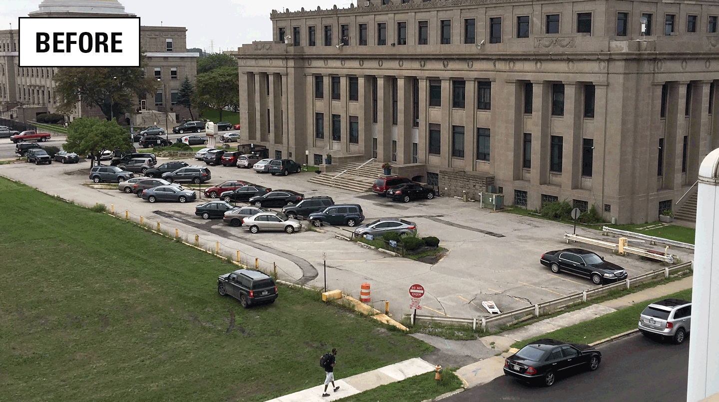
Assessing stormwater reduction using green infrastructure: Gary City Hall (Gary, Ind.)

Assessing stormwater reduction through green infrastructure: RecoveryPark (Detroit, Mich.)

Monitoring and predicting the impacts of trees on urban stormwater volume reduction

Assessing stormwater reduction using green infrastructure: Niagara River Greenway Project (Buffalo, NY)
Green infrastructure (GI) practices across the Great Lakes are being assessed to better understand how soils, vegetation, land use, maintenance practices and other design parameters influence their ability to infiltrate stormwater runoff. Statistical evaluation of aggregated site assessments will provide useful information on which factors hold high importance when designing and locating future GI.
Study Background
The U.S. Geological Survey (USGS) has been working with the U.S. Environmental Protection Agency since 2015 to quantify stormwater volume reductions from stormwater control measures through the Great Lakes Restoration Initiative. The primary focus has been on quantifying the volume of water reallocated through different parts of the water cycle by green infrastructure (GI). This has primarily been done by comparing data collected through field-based monitoring campaigns during pre vs post GI construction. While this information has been valuable to quantify performance metrics for select GI practices, it represents only a small subset of the many practices implemented under a wide variety of soils, vegetation, land use, and variations in engineering design found throughout the Great Lakes states.
Study Objectives
In 2022, the USGS developed a rapid assessment protocol to aggregate quantitative and qualitative characteristics for GI
practices in the Great Lakes drainage basin. The intent of the project is to inform future implementation of GI by assessing practices across a gradient of site characteristics and geographic locations. When aggregated, this data can be statistically evaluated to determine how design, land use, soils, vegetation, maintenance, and other parameters influence performance (photo at right).
Study Description
The initial field campaign began in 2022 with over 95 assessments covering seven of the eight Great Lakes states (2022 completed assessments in map shown at right). Initially, assessments are being limited to rain gardens, vegetated swales, and biofilters. Additional GI practices may be added in future years. Assessments will be done annually to increase the size of the dataset, thereby improving statistical interpretations.
Benefits
Information gathered through that assessment of multiple GI practices will help stormwater managers understand which characteristics have the most relevance on long-term success while also provide a framework by which future GI can be quickly and repeatably evaluated. An interactive web-based dashboard will be created to highlight:
- Summary statistics of soils, vegetation, and land use.
- Other features like ponding depth and composition of engineered soils can also be displayed to better understand trends in engineering design.
- Geospatial overlays and links will be included to provide additional layers of information including congressional districts and other political boundaries as well as site-specific information such as owner, images, and a short description of the site.
Below is science associated with this project.
GLRI Urban Stormwater Monitoring
Assessing stormwater reduction using green infrastructure: Gary City Hall (Gary, Ind.)
Assessing stormwater reduction through green infrastructure: RecoveryPark (Detroit, Mich.)
Monitoring and predicting the impacts of trees on urban stormwater volume reduction