
Land Use Effects on Water Quality
The WAWSC monitors and conducts research on how different types and intensities of land use, like urbanization, forestry and agriculture, affect water quality, as well as the effectiveness of measures designed to protect water quality in streams and lakes within basins with varying levels of human activity. Changes in the type and extent of land cover can result in some similar and unique changes in water chemistry. The WAWSC staff of hydrologist, chemists, biologist, remote sensing scientist and modelers utilizes state of the art real time and remote land cover methods and water chemistry and biological approaches to identify the role land use plays in influencing water quality. Water quality variables examined include such parameters as temperature, pH, dissolved oxygen as well as nutrients, pesticides, metals, pharmaceuticals, and organic compounds like PBDEs and PAHs. Staff scientists evaluate the relationships between these compounds, as well as recently developed compounds, with sophisticated mathematical models to inform resource managers and planners with the information they need to make effective decisions.
Carbon in Urban River Biogeochemistry Project
Transboundary Water Quality Monitoring in Washington State

Integration of Urban Stormwater Infrastructure in Modeling Water Quality Patterns in Small Urban Streams

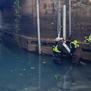
Green-Duwamish Watershed 6PPD-q small stream monitoring

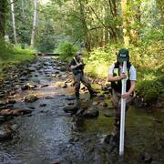
Understanding the Effects of Stormwater Management Practices on Water Quality and Flow
Stormwater Action Monitoring (SAM)

Baseline assessment of PAH concentrations in fish from the Stillaguamish River, Washington

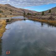
Water Availability for Tribal Treaty Rights in Western Washington

Puget Sound, WA Nutrient SPARROW Model

Analysis of USGS Surface Water Monitoring Networks

Nooksack river basin continuous nitrate monitoring
