Why is an area freshly covered by lava designated as Zone 2 on the lava-flow hazard map, while another area not recently threatened by lava is designated as Zone 1?
Lava-flow hazard zones on Hawai'i Island reflect the long-term hazard of lava flows, not the short term hazard. Rate of lava coverage—not how recently lava covered an area—is the basis of long-term lava flow hazard.
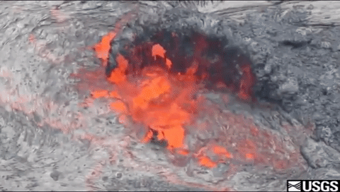
Zone 1: "Includes the summits and rift zones of Kīlauea and Mauna Loa (left) where vents have been repeatedly active in historic time." These areas are the most dangerous because all, or nearly all, erupted lava first emerges from the ground within Zone 1.
Zone 2: "Areas adjacent to and downslope of active rift zones.” These areas are also hazardous, but somewhat less so, because it takes some time for lava from Zone 1 to reach Zone 2.
As Kīlauea’s middle east rift zone eruption in January of 1983 proved, damage from lava flows will be greater in Zone 1 than in any other zone over the long term. In that eruption, lava flows immediately and repeatedly covered Zone 1 areas. Zone 2 areas were also covered by lava during the eruption, but not immediately or repeatedly. In other words, it took some time for lava flows to reach Zone 2 areas, and the threat was not continuous—it depended on which direction and how fast the lava flows moved downslope.
Updated Date: April 30, 2026